

Description
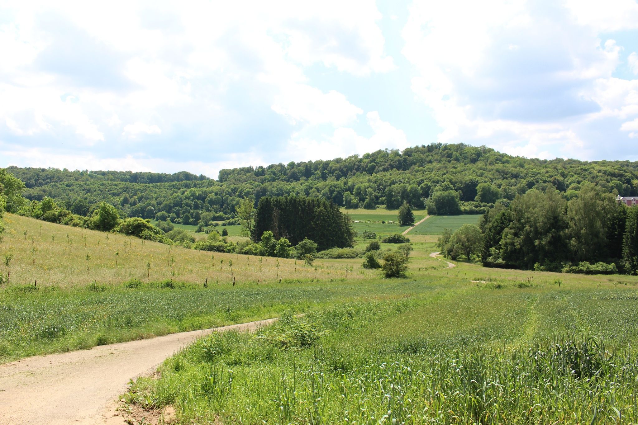
Hike from the Celtic era into the age of steel and iron industry.
The hike starts near the old mill in Lamadelaine, which you unfortunately cannot visit spontaneously; however, there is the possibility of requesting a guided tour from the municipality of Pétange. At the beginning of the hike, you have the choice to start either towards the fish ponds or in the direction of the Titelberg (Tételbierg).
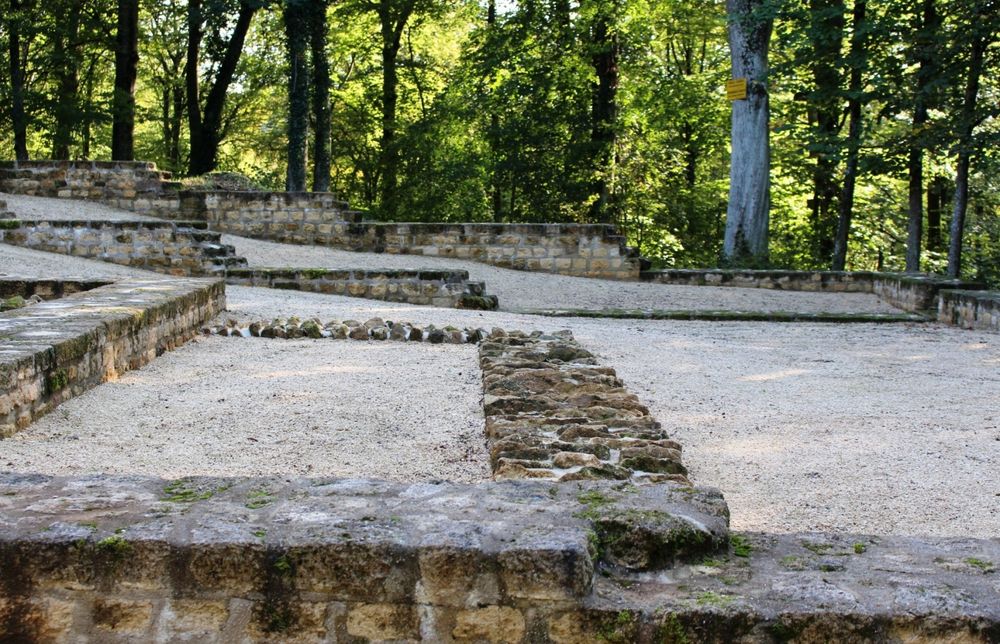
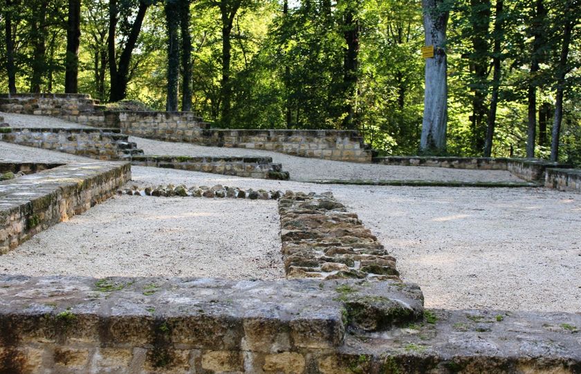
On the plateau of the Titelberg, you will pass the ruins of an old Celtic village; take your time here to enter the site behind the wooden fence and read the information boards.
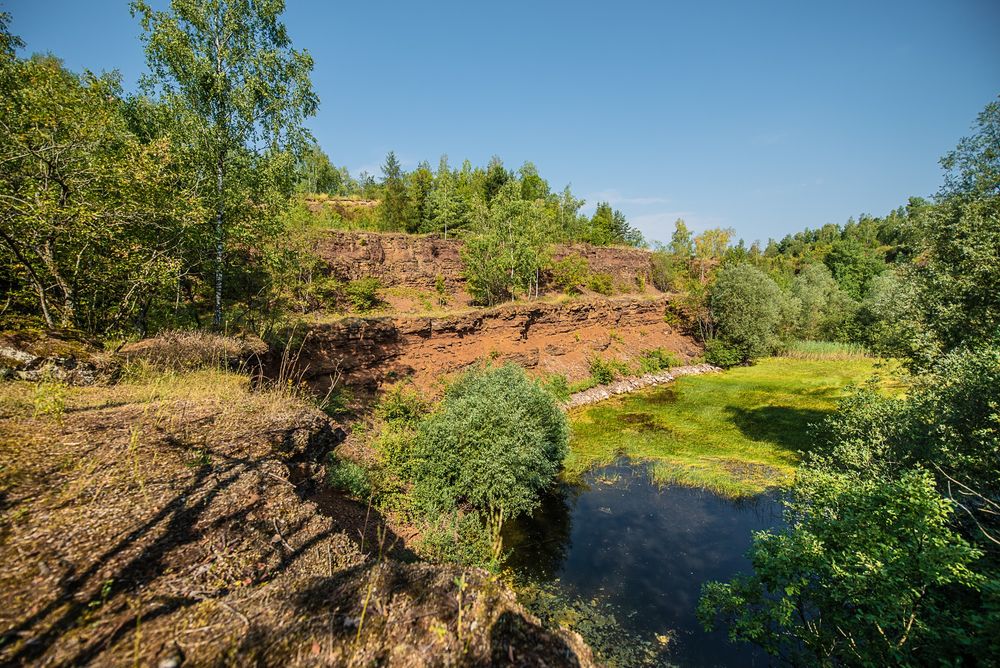
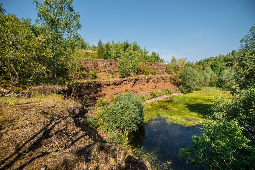
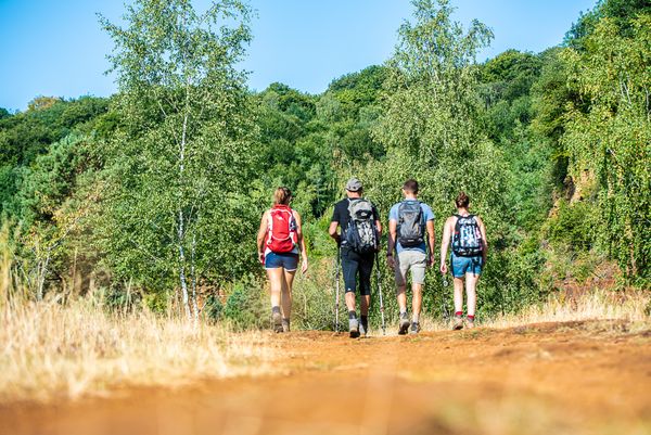
From the Celts, continue hiking into the nature reserve Prënzebierg - Giele Botter. In this former open-cast mine, iron ore was extracted until 1978. Afterward, nature reclaimed its rights. Nowadays, you can still see the excavation terraces and red soil here. Rare plant species such as wild orchids thrive on this nutrient-poor soil; these can mainly be seen in May and June.
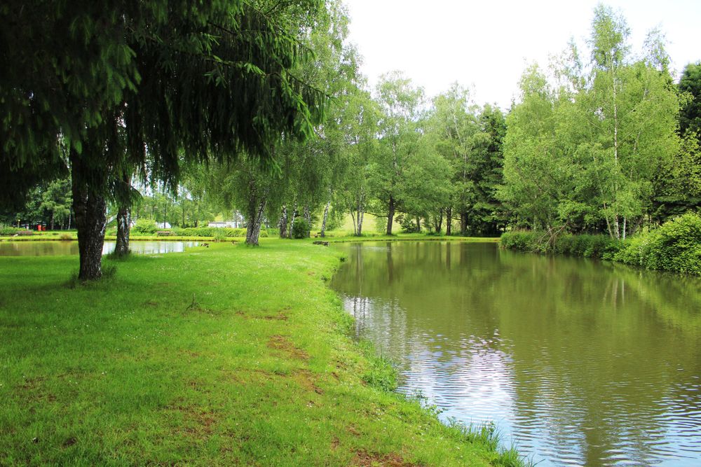
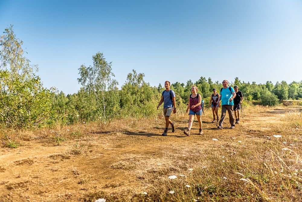
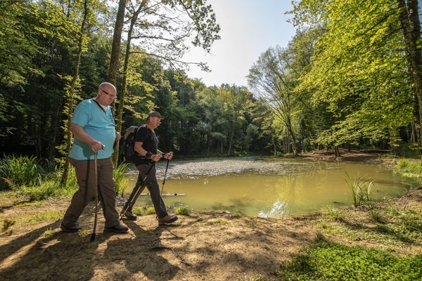
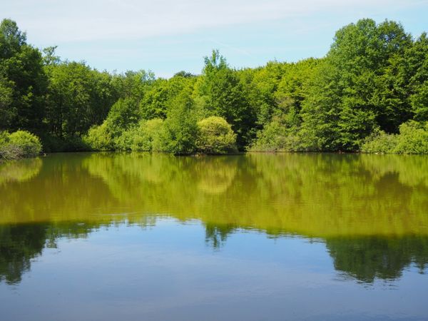
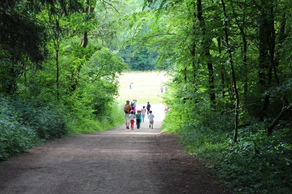
Once you have left the open-cast mining area, you walk through the forest back towards Lamadelaine. The good news: it is mainly downhill! At the end of the hike, you pass the fish ponds where you can sit down comfortably and have a snack before returning to your starting point.
Directions
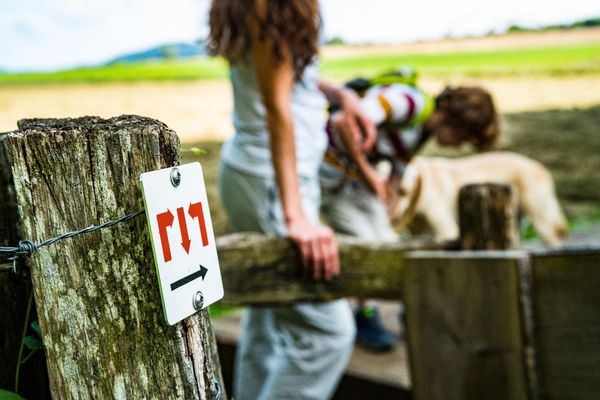
Please follow the signage with the blue lozenge on a white background; the path is marked in both directions.
For your safety
Please wear sturdy footwear and clothing appropriate for the weather.
Equipment
Please remember to bring enough drinking water and food for the hike.
Journey
The nearest bus stop is "Lamadelaine, Schoul".
Parking:
The start of the route is located at a public parking lot.

 This website uses technology and content from the Outdooractive Platform.