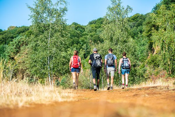
Description
Hike on the regional hiking route Minett Trail between Pétange and Clemency and discover the diversity of nature in the south of Luxembourg.
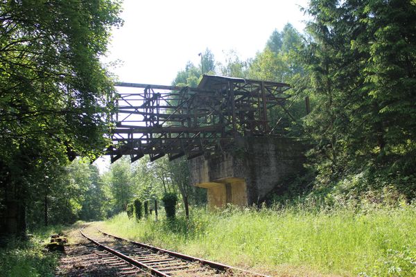
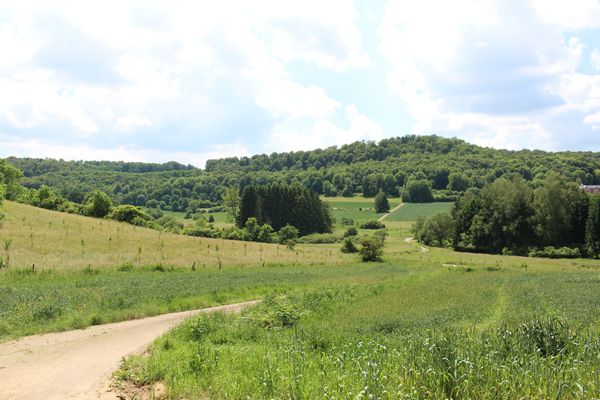
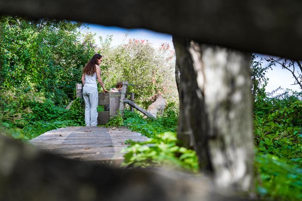
The Minett Trail is a 90-kilometer hiking route that runs across the Minett region. In ten stages, you can experience smaller and larger towns as well as eight nature reserves. These impress with old forests and former open-pit mining areas. Due to the steep rock faces, red soil, and mine entrances, they are unique in Luxembourg.
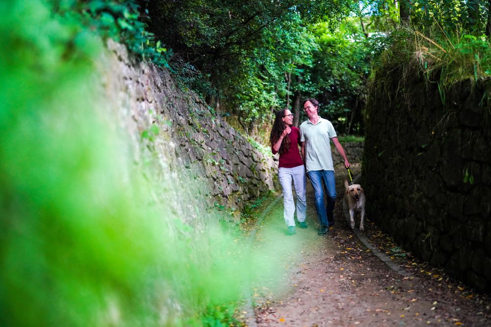
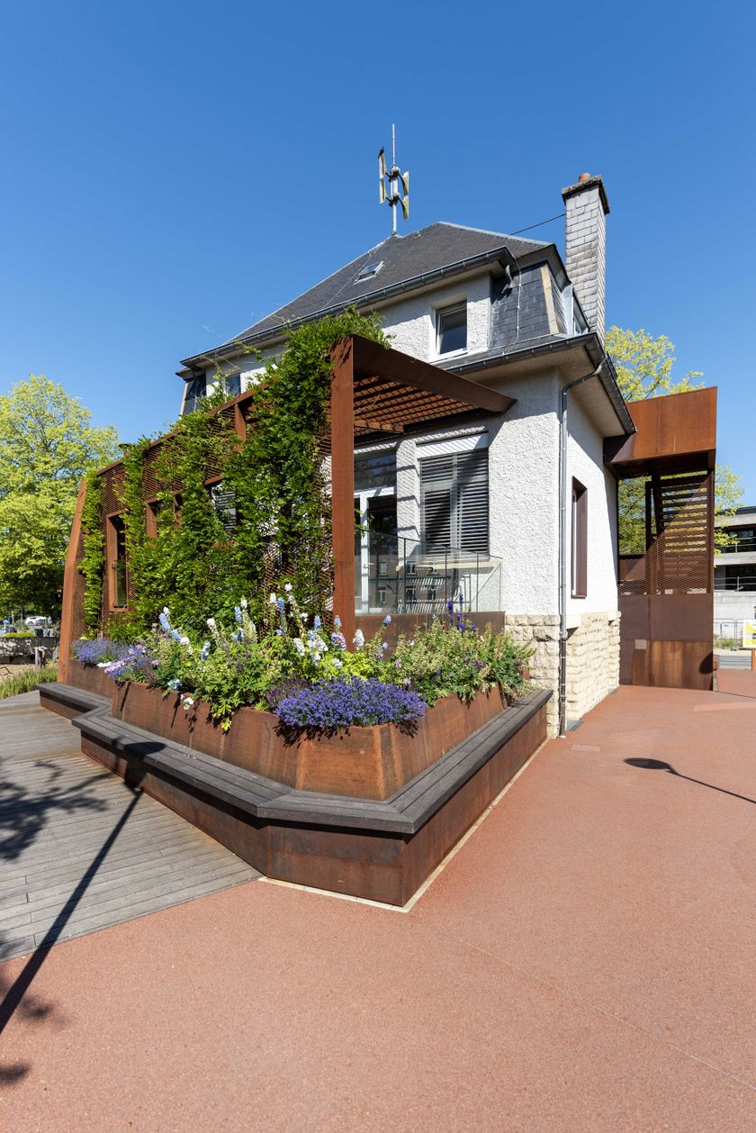
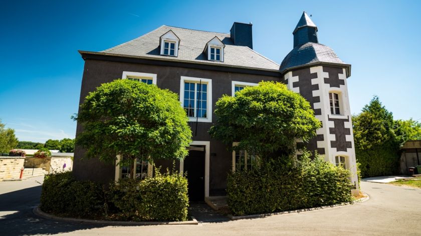
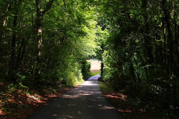
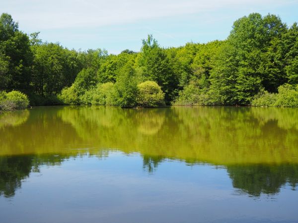
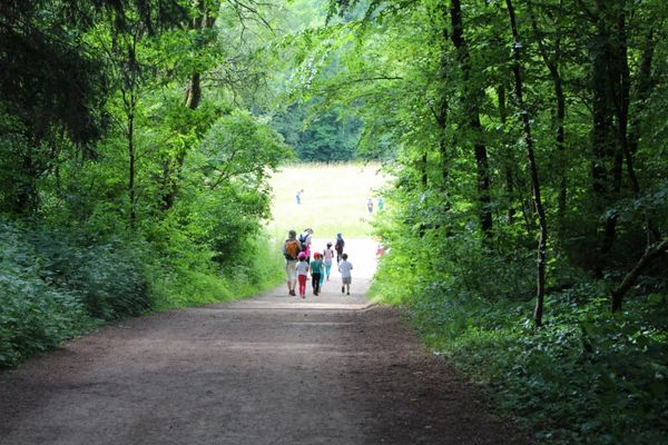
On this section, you hike between the two stations of Pétange and Clemency. Admittedly, no trains currently stop at the old station in Clemency, but the building has been transformed into a good inn where you can recover from the efforts of the hike. This section is a good start to the entire 90-kilometer stretch of the Minett Trail. Along the way, you traverse a shady forest that eases the hardships of the route. You might even stop at the pond along the route, which is always full of surprises. In Pétange, you will find the city park, which you walk through on the Minett Trail.

Signposting

Directions
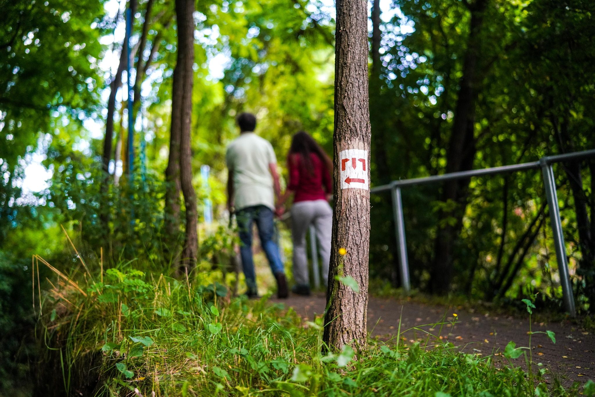
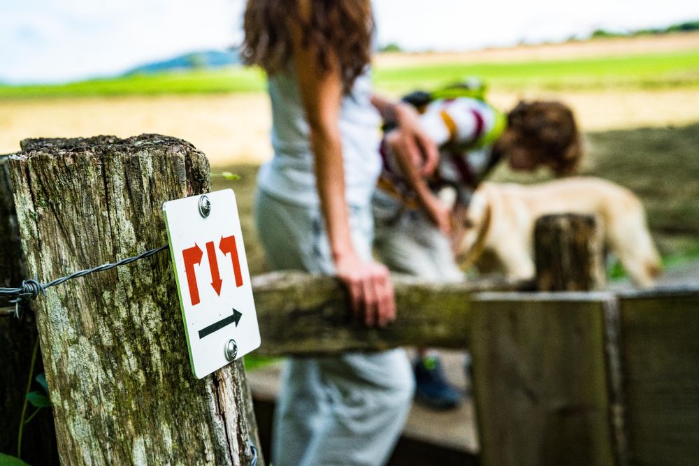
Please follow the "Minett Trail" signage, which you can follow in both directions of the route.
The path of this section of the "Minett Trail" starts optionally from the "Train 1900" station car park in Pétange or the former station building (today a brasserie) in Clemency. Look out for signage with three red arrows on a white background. They are marked "in sight" and can be attached to streetlights or other posts.
In nature, you will find them on trees and posts. At important junctions, you will also find signposts with arrows as directional indications and information on the distance to specific points, as well as pictograms with hints for possible hiking destinations.
For your safety
Please be aware that mountain bikers may come towards you on parts of the trail and the route partly passes over road crossings within urban areas. Therefore, please follow the designated signage, do not deviate from the path, and pay attention to your surroundings.
Equipment
Please remember sturdy footwear and appropriate clothing in case of bad weather.
Journey
Direct trains run from Pétange station to Luxembourg City and Arlon (Belgium).
Parking:
Public parking available on site.


 This website uses technology and content from the Outdooractive Platform.