Description
Hike from station to station, between Rumelange and Kayl
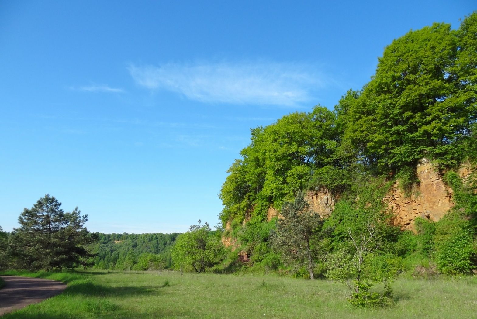
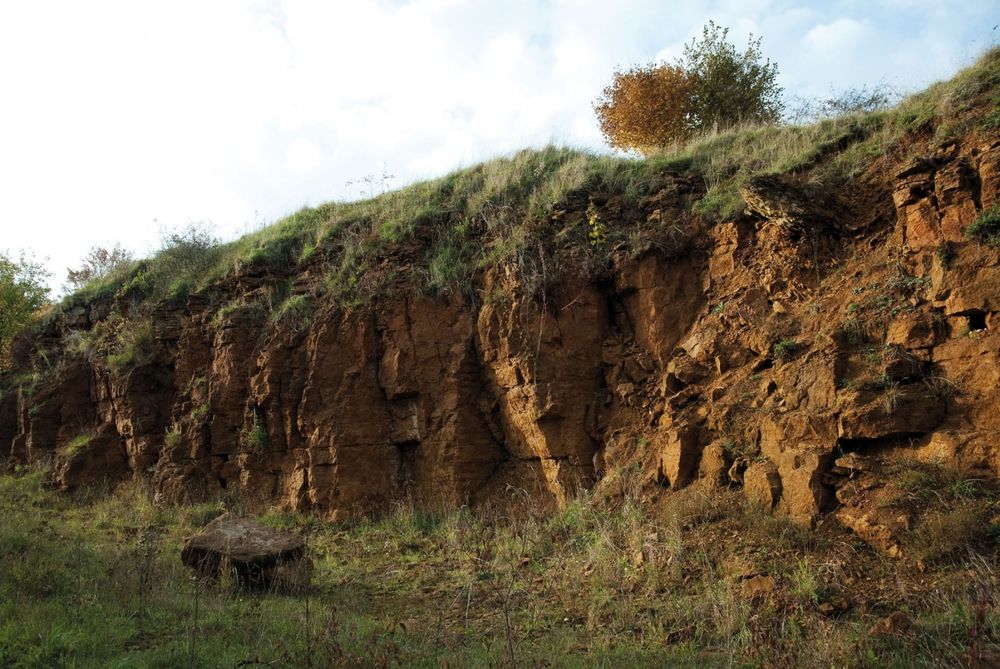
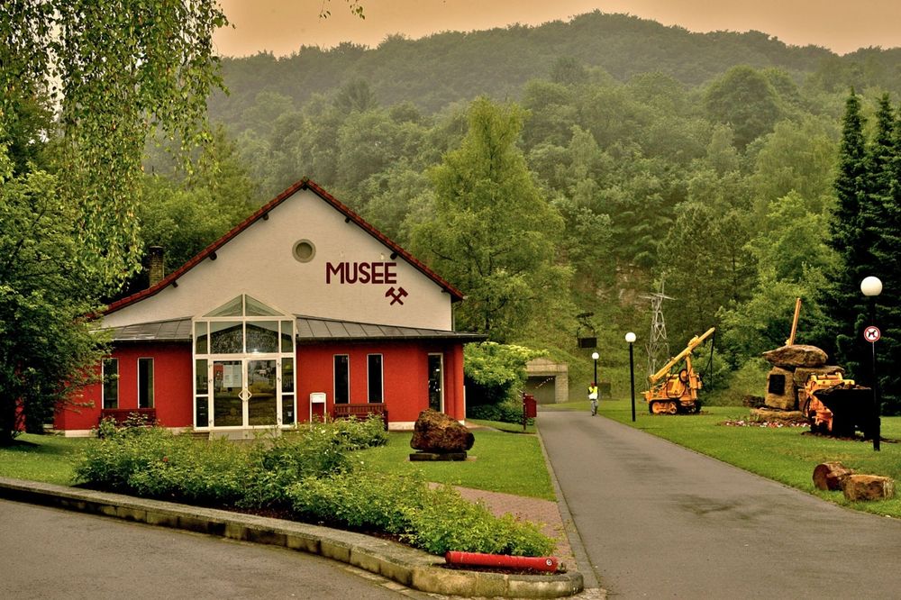
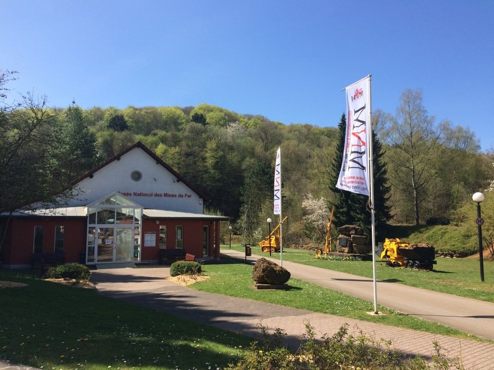
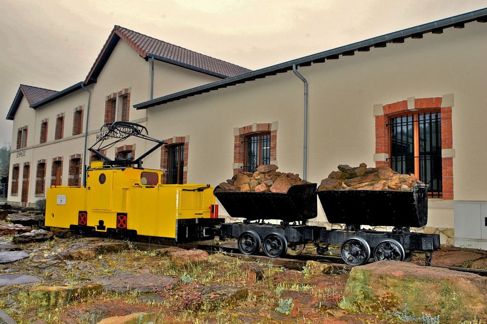
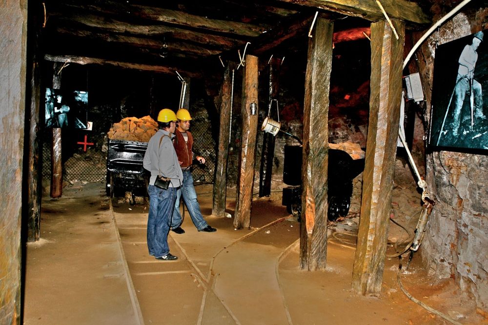
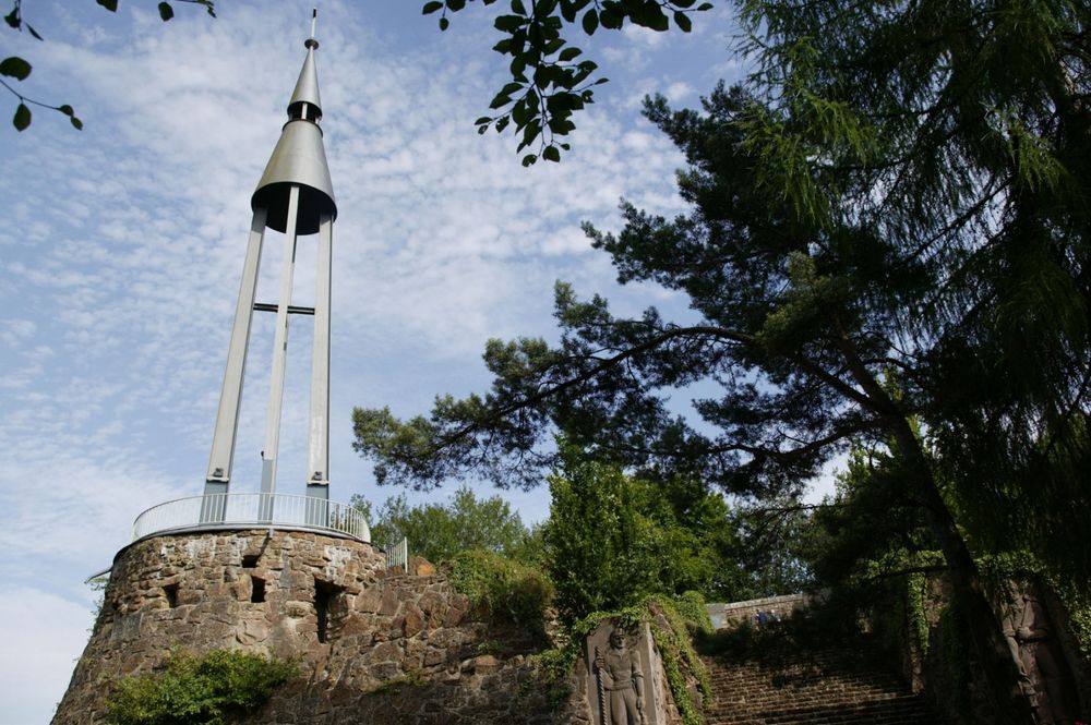
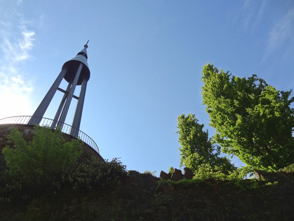
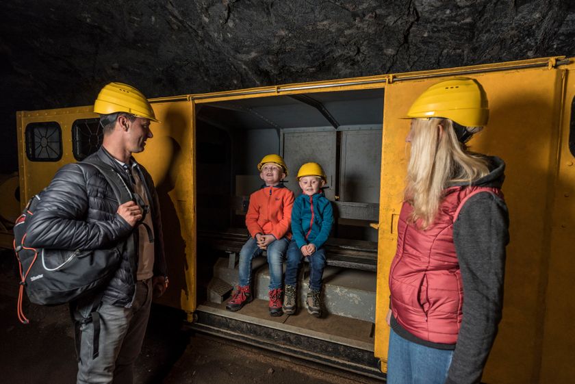
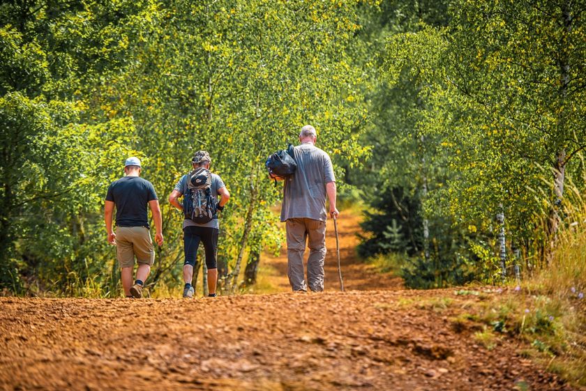
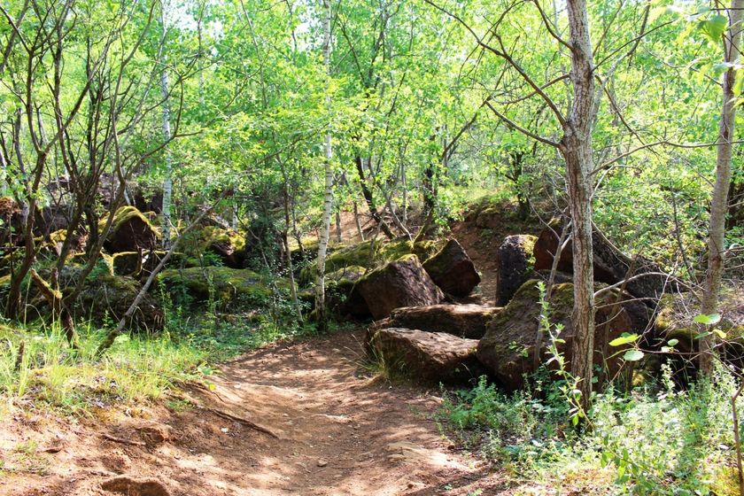
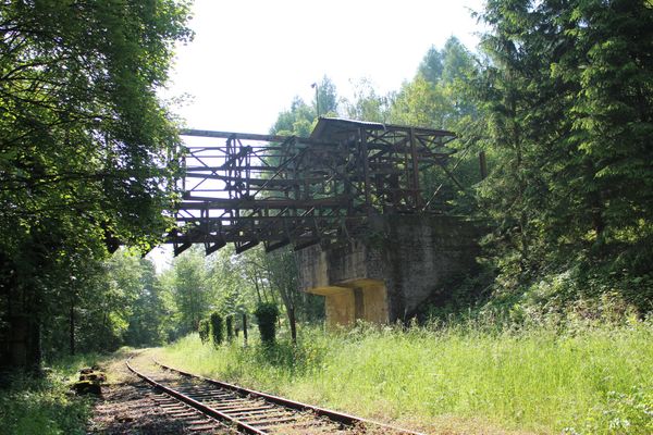
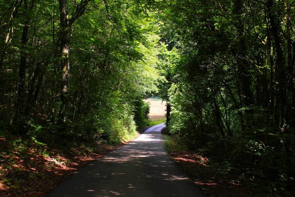
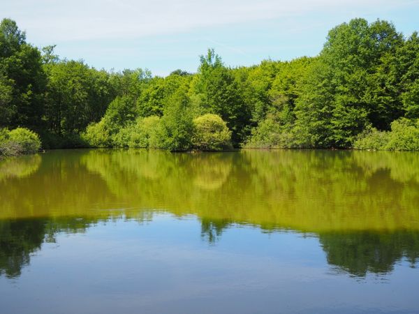
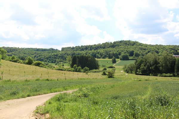
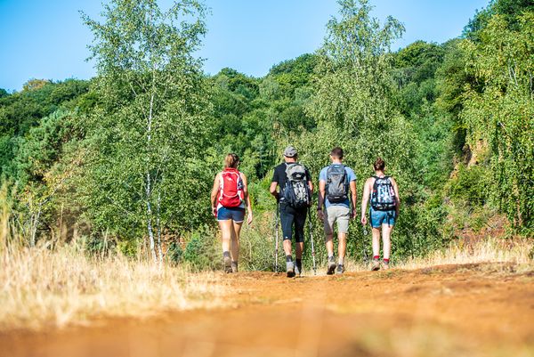
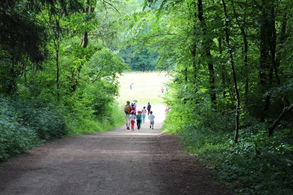
The hiker leaves Rumelange through a former mining area via a steadily ascending route, which at one point touches the border to France. The path leads in a large loop through an extensive forest area. Passing several sights, it then descends to the Kayl station.
You can already finish this route in Tétange. Via the signposted feeder CFL 23a from Bromeschbierg, you reach the Tétange station after descending 900 meters. This shortens the total length of the route to 10.6 km.
Note: Only a few trains run to and from the stations at Kayl, Tétange and Rumelange.
Alternative: Bus. Please take the timetables into account when planning your route.
Signposting
Directions
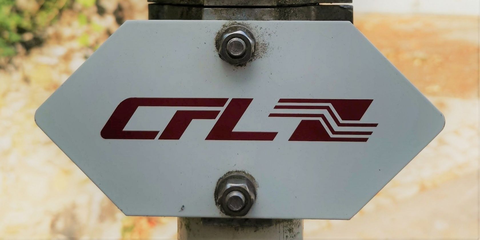
Please follow the signage with "CFL"
For your safety
Remember to bring enough drinking water and some food.
Equipment
Remember to bring enough drinking water and some food.
Journey
Start and finish are at a train station
Parking:
Public parking on site at both the start and end points


 This website uses technology and content from the Outdooractive Platform.