Description
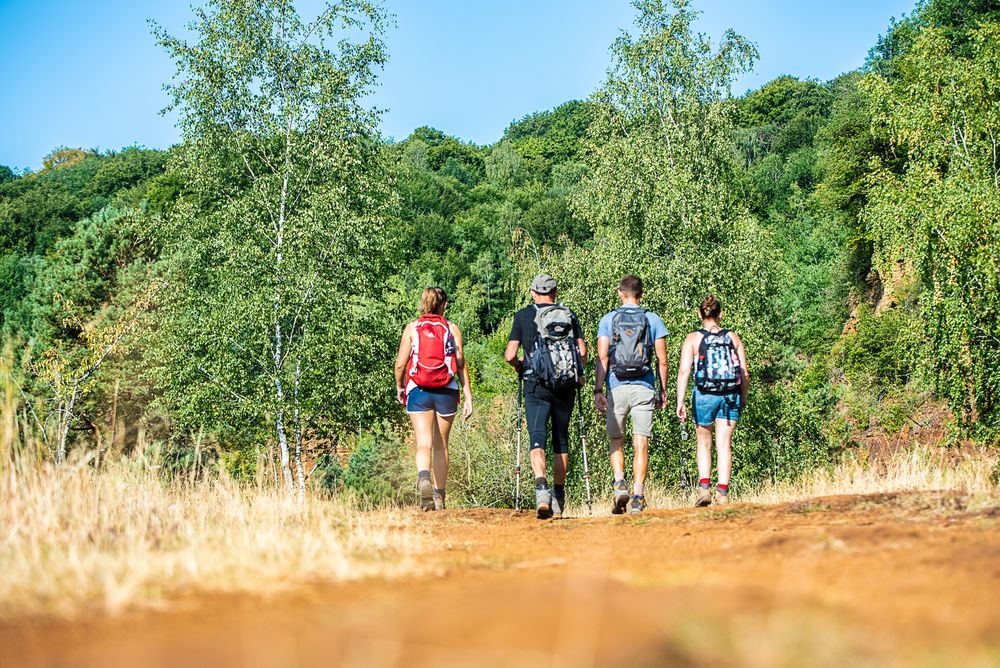
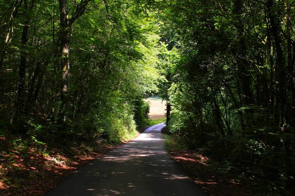
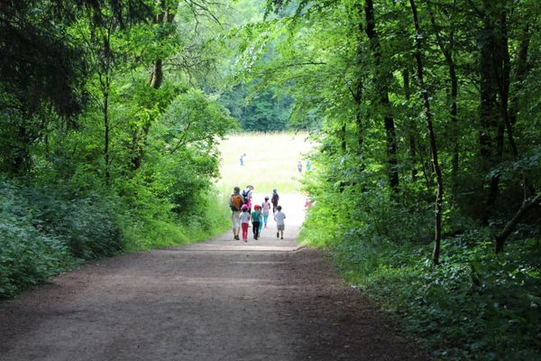
Hike on this section of the Minett Trail between the towns of Tétange and Rumelange through the former ore mining area.
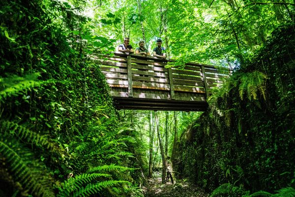
The Minett Trail is a 90-kilometer-long hiking route crossing the Minett region. In ten stages, you can experience smaller and larger towns as well as eight nature reserves. These impress with old forests and former open-cast mining areas. They are unique in Luxembourg due to the steep rock walls, red soil, and mine entrances.
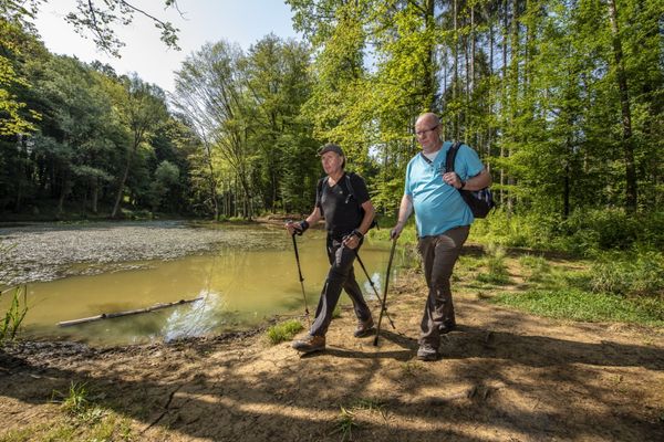
On this section, you will walk through the "Leiffrächen" nature reserve and the hollowed-out area around the border town of Rumelange. Close to the French border, you are here in the middle of the mining area and can see how much nature has changed due to mining and the necessary infrastructure.
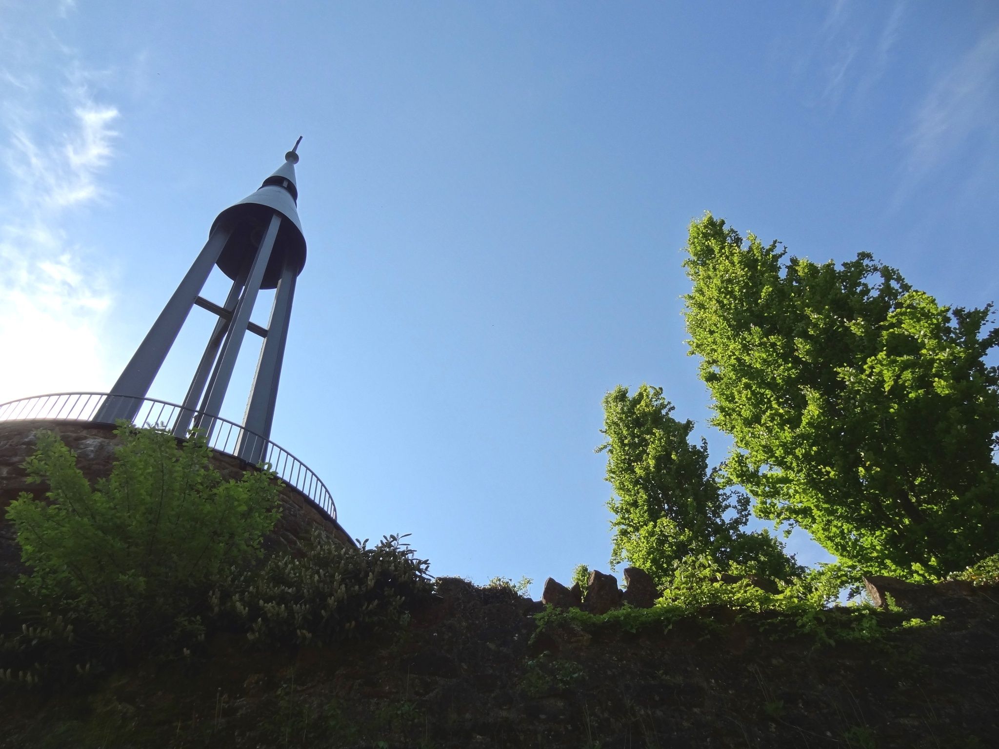
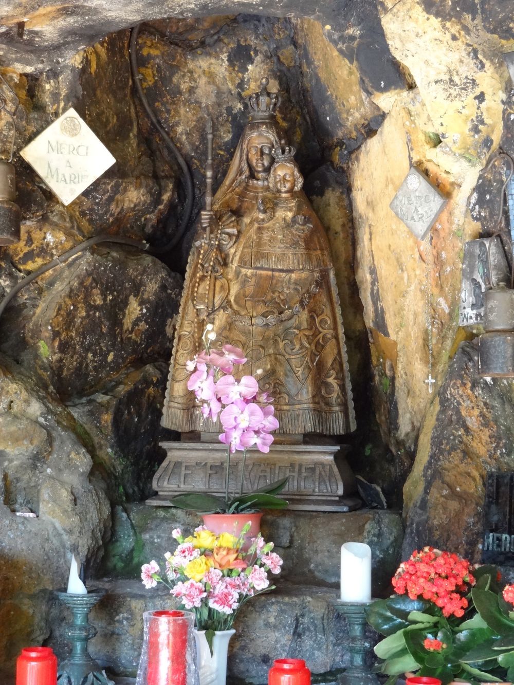
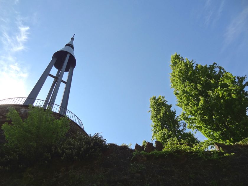
The route passes by the "Monument National des Mineurs" in Kayl, which commemorates miners who lost their lives at work. On the "Leiffrächen," named after the pilgrimage site and chapel beside the path—the patron saint of miners—you will find the characteristically red soil typical of the region.
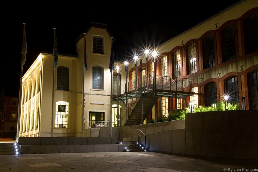
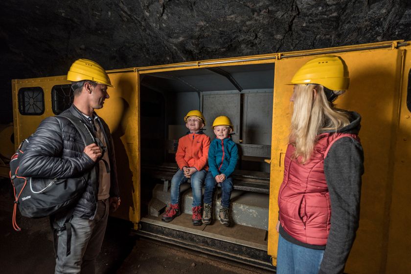
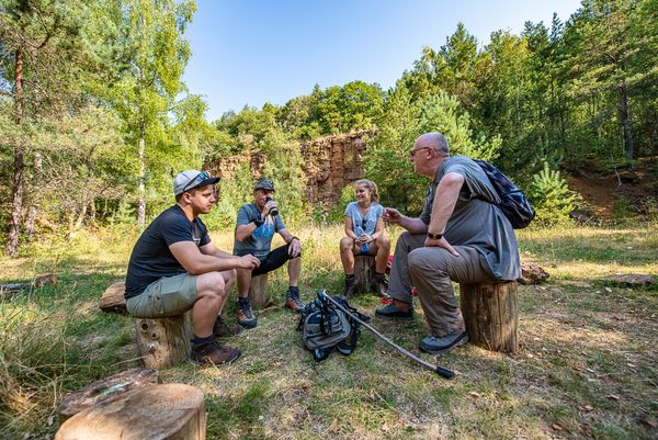
The path takes you past the Mining Museum in Rumelange, where on your rest day from hiking you can join a guided tour underground.
WARNING : Unfortunately, this stage of the Minett Trail is regularly subject to vandalism. We recommend downloading the GPX data before the hike, as markings are often damaged or removed.

Signposting

Directions
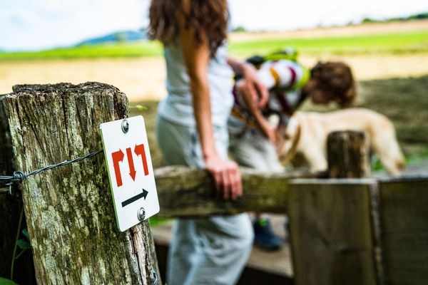
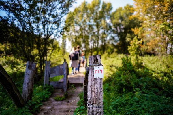
Please follow the "Minett Trail" signs, which you can follow in both directions of the route.
This section of the route starts either at the train station in Tétange or at the train station in Rumelange. Watch out for signs with three red arrows on a white background. They are marked "in sight" and can be attached to streetlights or other posts.
In nature, you will find them on trees and stakes. At important junctions, you will also find signposts with arrows as direction indicators and information on the distance to specific points, as well as pictograms with hints to possible hiking destinations.
For your safety
Please be aware that mountain bikers may come towards you in some sections and that the trail partially crosses roads within towns. Therefore, please follow the posted signs, do not leave the path, and pay attention to your surroundings.
Equipment
Please remember to wear sturdy footwear and weather-appropriate clothing.
Journey
Start and finish are located at train stations. From here, direct trains run to Luxembourg City.
Parking:
Parking available on site.


 This website uses technology and content from the Outdooractive Platform.