Description
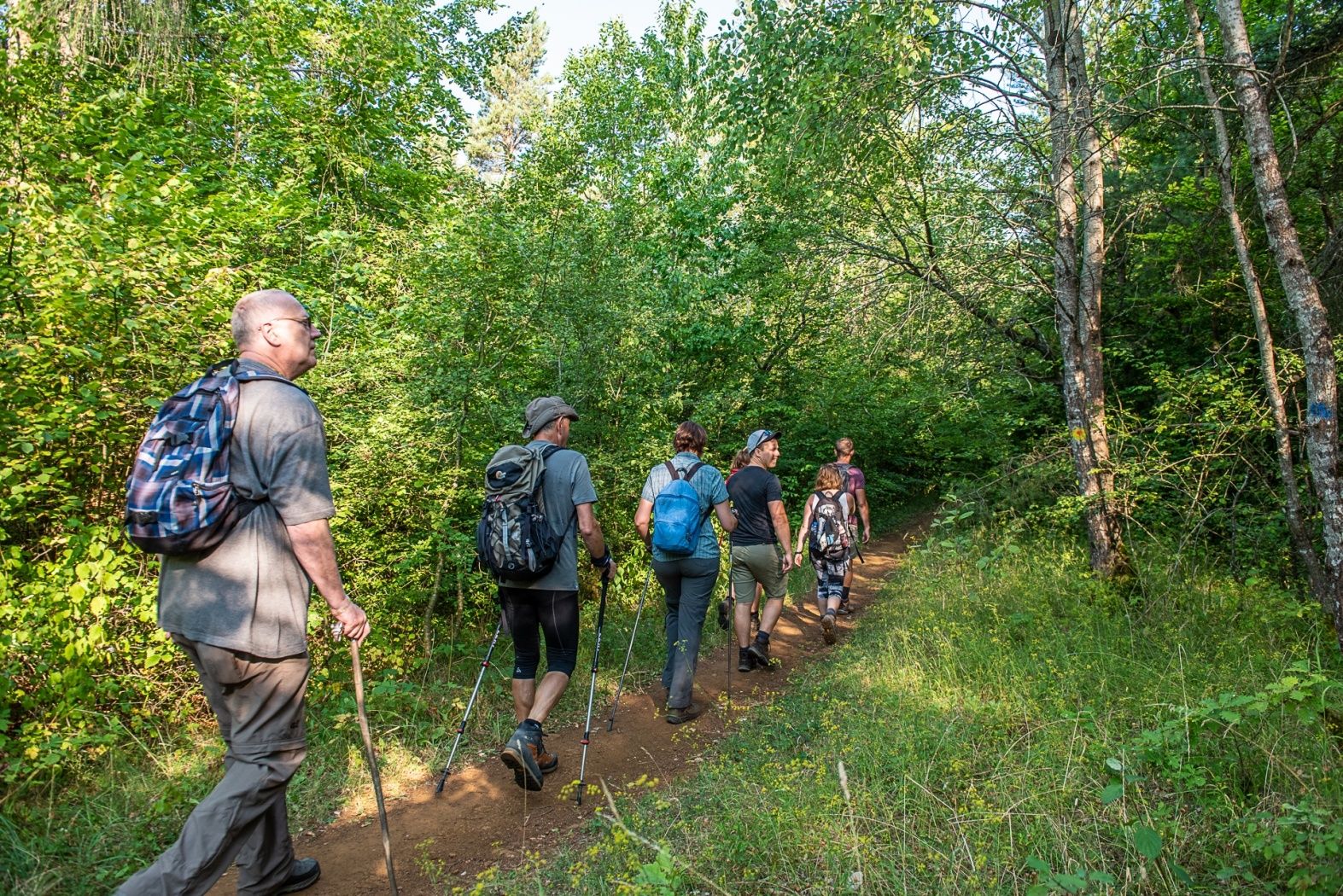
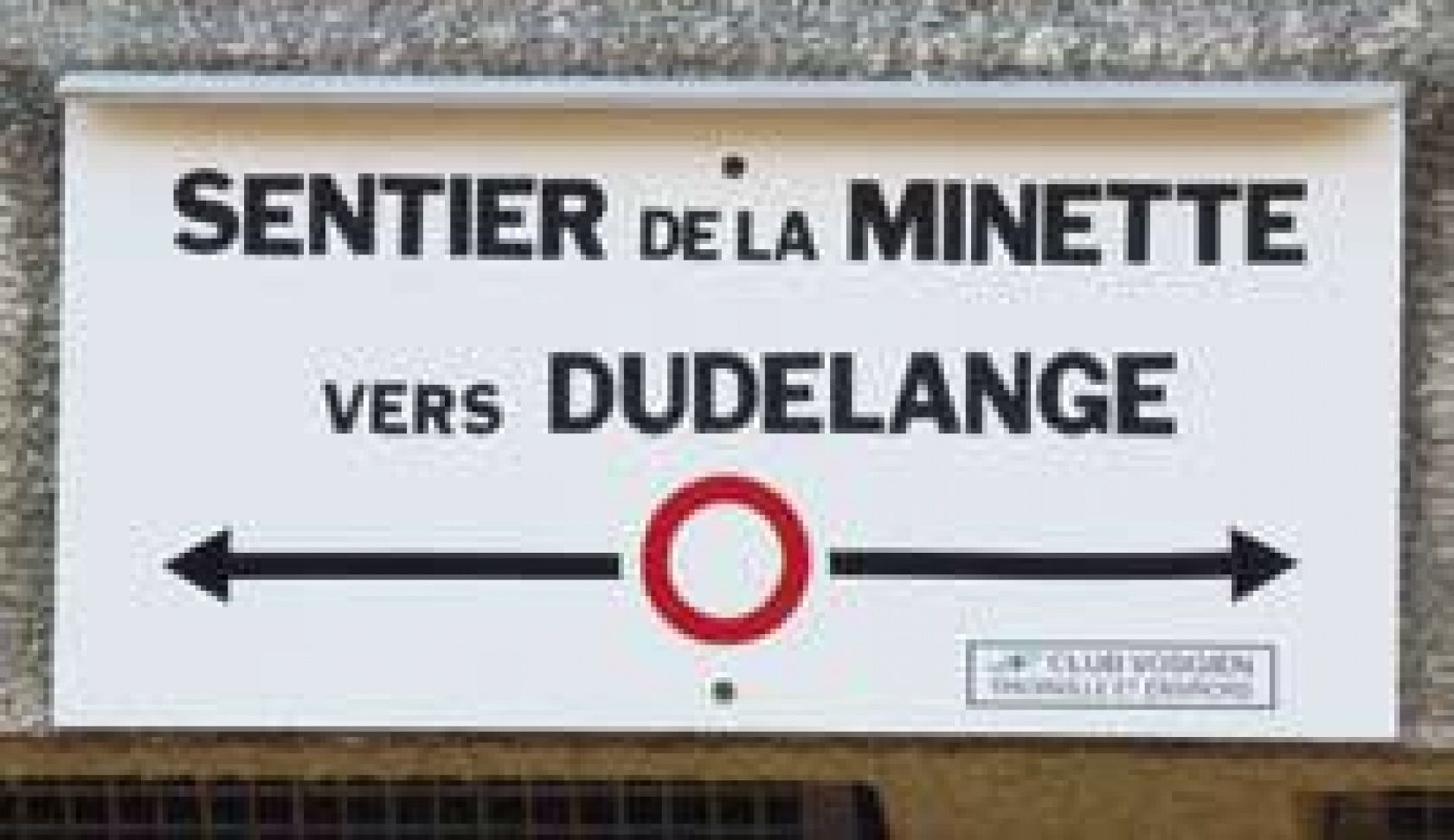
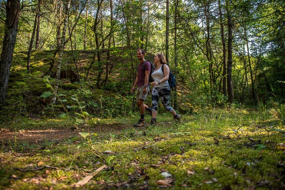
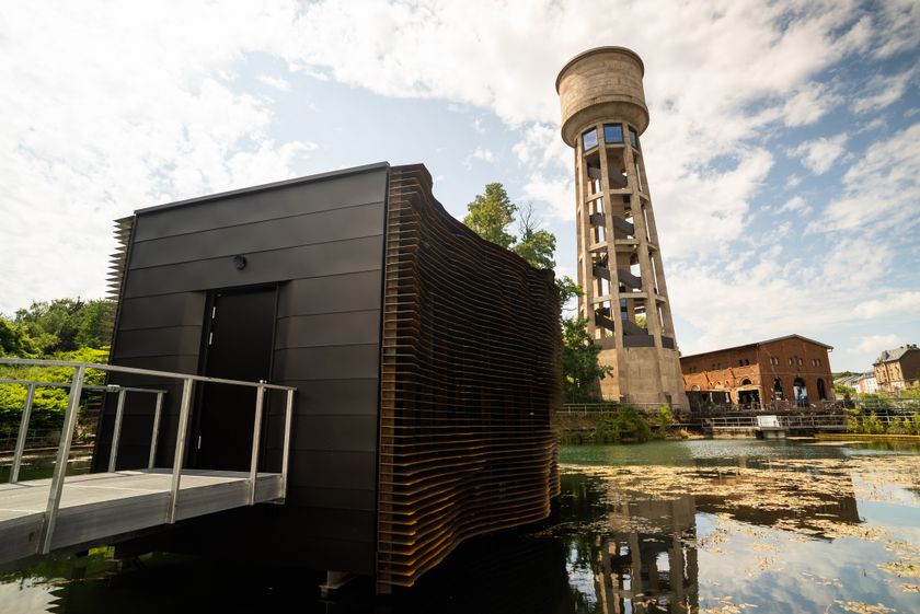
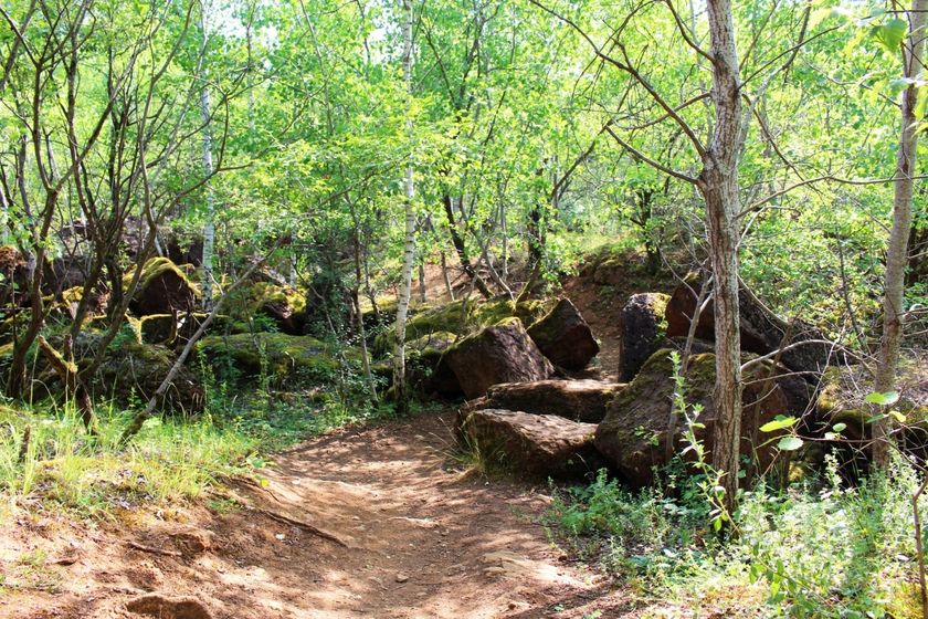
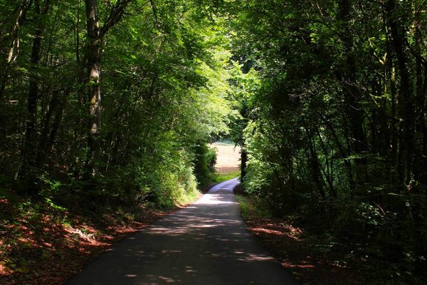
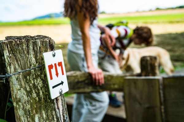
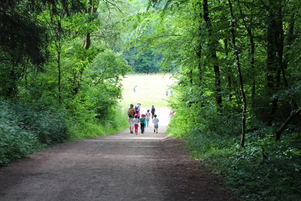
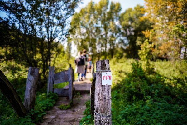
As part of a cross-border collaboration, which aims to promote tourism development, the city of Dudelange, the community of municipalities of Cattenom and the municipality of Volmerange-les-Mines have developed a cross-border pedestrian and mountain bike circuit entitled “le circuit de la Minette" (the circuit of the Minette). This path aims to strengthen the existing bonds between Dudelange and Volmerange-les-Mines as well as the relation between their inhabitants and hopes to value their history and common heritage of which the former open pit mines are a major element. The hiking and mountain-bike trail has been named “Sentier de la minette” (trail of the Minette), in memory of the exploitation of iron ore in this region. The bi-directional trail markings, a red ring on a white background developed by the Club Vosgien allows the loop road to be started from both Dudelange and Volmerange-le- Mines.
©Ville de Dudelange - Translation ORT Sud
Signposting
Directions
Please follow the signs of a red circle on white background.
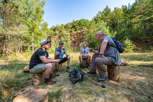
For your safety
Please remember to wear sturdy shoes and appropriate clothing in the event of bad weather.
Equipment
Please bring enough food and drinking water for the trip.
Journey
The tour starts in close proximity to "Dudelange - Gare Usines" train station
Parking:
Public parking available at the start


 This website uses technology and content from the Outdooractive Platform.