Luxembourg City Éislek Müllerthal Mosel Minett Guttland Germany France

Auto-pédestre trail Belvaux

Starting point

Belvaux town hall, 7 rue de Soleuvre 4487 Belvaux

Destination

Belvaux town hall, 7 rue de Soleuvre 4487 Belvaux

Distance

9,67 km

Duration

2:55 h

Difficulty

medium

  • Condition
  • Technique

Highest point

233 Hm

Lowest point

235 Hm

Circular routes Visit Minett

Description

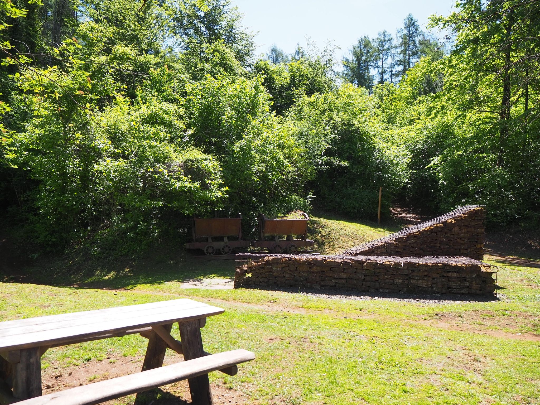
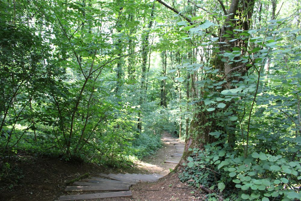
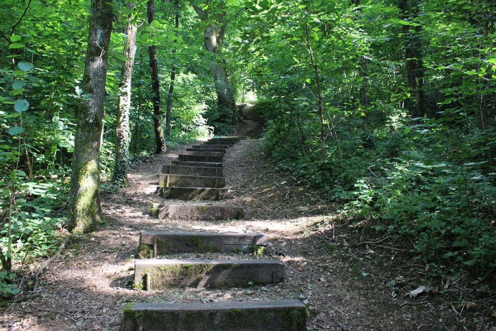
Hike to some small castle ruins on a hill on the Auto-pédestre trail Belvaux

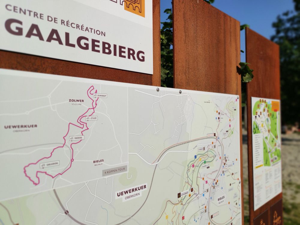
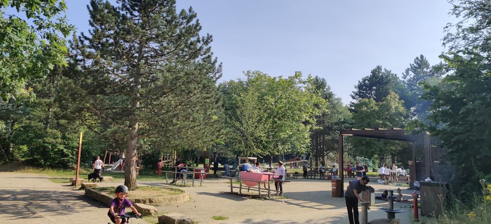
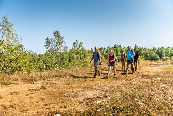
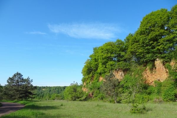
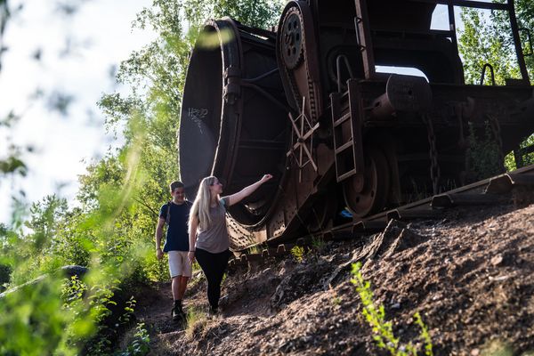
The trail leads over the Pakebierg, past the Tour Hertzienne, over the Lötschet to the Zolverknapp. Next to this castle ruin, you may enjoy a nice view. We go past the retirement home and follow partly the national footpath "Sentier du Sud" to the Gaalgebierg, which is a popular recreation area. We then arrive back at the starting point.


for tour routing
circular-walk-belvaux gpx
Plan your journey

Tour feedback

Report a problem
Show all pictures

Suggestions nearby

Auto-pédestre trail Belvaux

  • A Gadder

    Where? 10, Rue de France, L-4446 Belvaux

    House of culture and history A Gadder

    House of culture and history A Gadder

    Find out more

Similar hiking tours

Distance trails
21 Station to station Bettembourg - Dudelange-Burange

Distance: 14,68 km
Duration: 3:45 h
Difficulty: medium

Find out more
Distance trails
22 Station to Station Dudelange - Burange - Rumelange

Distance: 10,28 km
Duration: 3:00 h
Difficulty: medium

Find out more
Distance trails
23 Station to station Rumelange - Kayl

Distance: 12,64 km
Duration: 3:25 h
Difficulty: medium

Find out more
Distance trails
25 Station to station Kayl - Schifflange - Esch-sur-Alzette

Distance: 21,80 km
Duration: 6:00 h
Difficulty: medium

Find out more
Distance trails
26 Station to station Esch-sur-Alzette - Belvaux-Soleuvre

Distance: 9,06 km
Duration: 2:25 h
Difficulty: medium

Find out more
Distance trails
27 Station to station Belvaux-Soleuvre-Oberkorn

Distance: 5,20 km
Duration: 1:25 h
Difficulty: medium

Find out more
Distance trails
28 Station to station Oberkorn - Niederkorn

Distance: 8,68 km
Duration: 2:25 h
Difficulty: medium

Find out more
Distance trails
29 Station to station Niederkorn - Rodange

Distance: 10,16 km
Duration: 2:55 h
Difficulty: medium

Find out more
Distance trails
30 Station to station Oberkorn - Fond de Gras - Rodange

Distance: 17,83 km
Duration: 4:55 h
Difficulty: medium

Find out more
outdooractive This website uses technology and content from the Outdooractive Platform.