© Pulsa Pictures, ORT SUD
Minett Germany France

26 Station to station Esch-sur-Alzette - Belvaux-Soleuvre

Starting point

Esch/Alzette Train station

Destination

Belvaux-Soleuvre train station

Distance
9,05 km
Duration
2:30 h
Difficulty
medium
  • Condition
Highest point
416 Hm
Lowest point
291 Hm
Aggregated Ascent
209 Hm
Aggregated Descent
155 Hm
Distance trails Visit Luxembourg

Description

Refreshment stops available
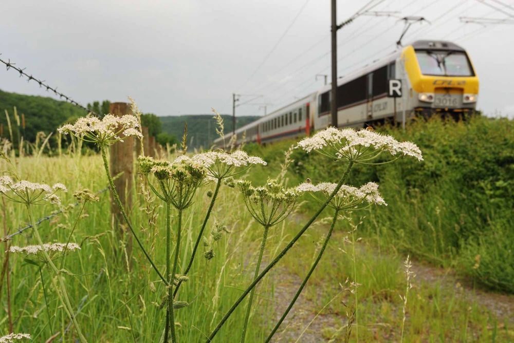
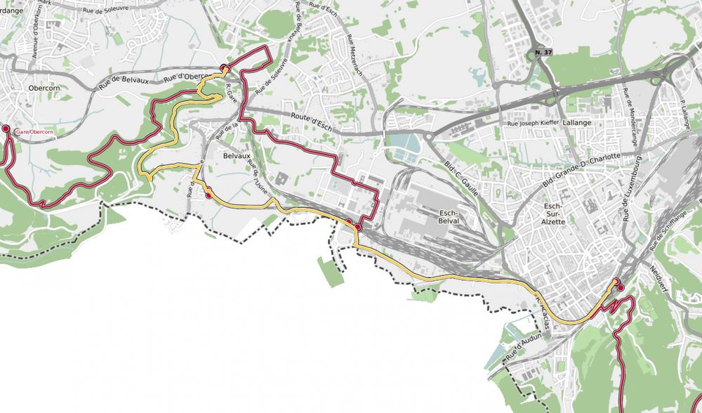
Hike from train station to station, from Esch-sur-Alzette to Belvaux-Soleuvre

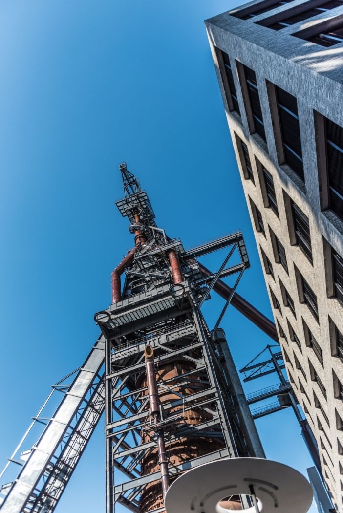
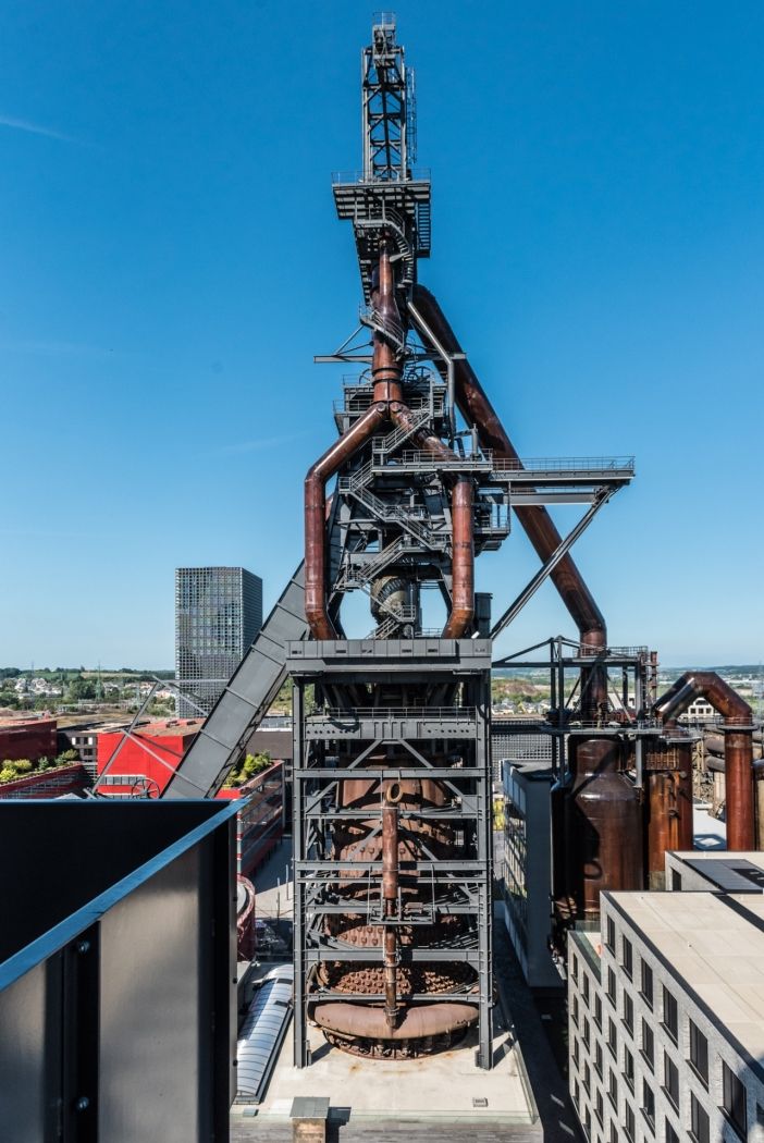
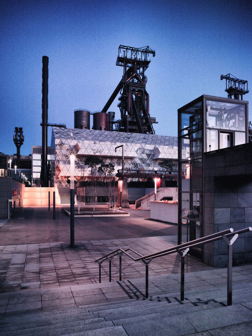
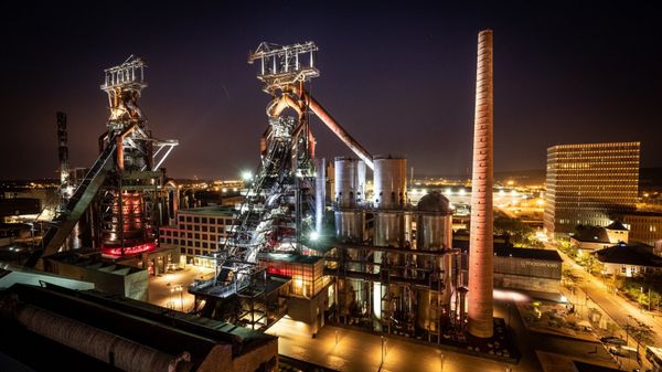
This tour offers views of the ancient industrial area of Esch-Belval, the former heart of Luxembourg's steel production. Today, Belval is a new-economy and service hub where Luxembourg's university can also be found. After the first 3,5 km of this tour, there is a possibility to reach southern Luxembourg's most modern station, Belval-Université. Towards the end of this trip, more or less at Belval-Rédange station, ramblers will have to deal with a climb of well over 100m of difference in altitude. This station, located close to the French border, serves the towns of Belvaux (L) and Rédange (F). This trip ends at Belvaux-Soleuvre station.


© Editions Guy Binsfeld


Suggestions nearby

26 Station to station Esch-sur-Alzette - Belvaux-Soleuvre

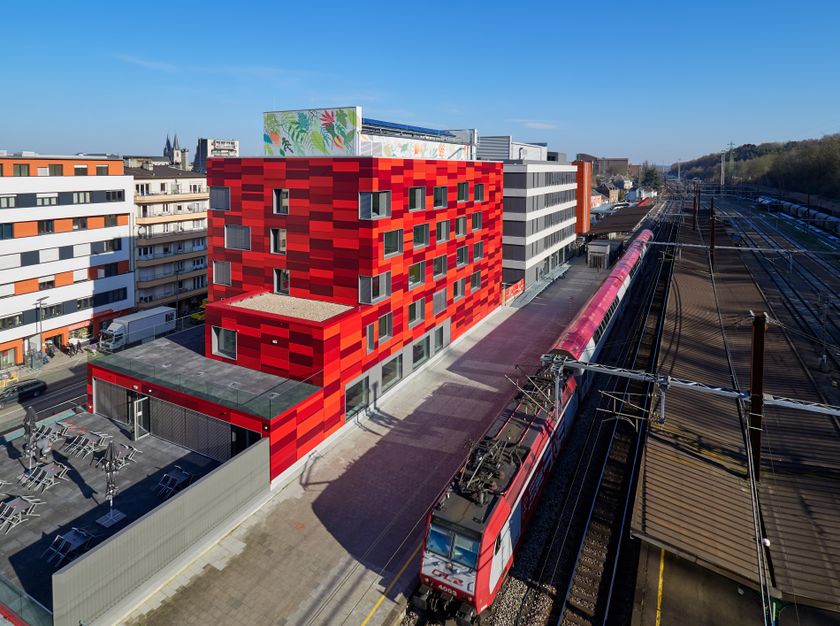
  • Youth hostel Esch-sur-Alzette
    AccessibleSituated in the centre of townWifiRestaurant
  • © Ville d'Esch
    free
    with theLuxembourgPass
    Blast Furnace Belval
    At the heart of this newly transformed quarter of the city, which comprises the modern campus of the University of Luxembourg, you can see the imposing remnants of the iron ore industry that drove the economy of Luxembourg more than 100 years ago.
    Find out more

Similar hiking tours

© Pulsa Pictures, ORT SUD
Thematic paths
Didactic trail "Natura 2000" - Ellergronn
Distance: 11,92 km
Duration: 3:20 h
Difficulty: medium
Find out more
© © Claude Piscitelli / ONT, Visit Luxembourg
Thematic paths
Geological Trail - "Giele Botter"
Distance: 2,43 km
Duration: 0:45 h
Difficulty: medium
Find out more
© ORT Sud
Circular routes
Auto-pédestre trail Rodange
Distance: 7,80 km
Duration: 2:15 h
Difficulty: medium
Find out more
© ORT Sud
Circular routes
Auto-pédestre trail Lamadelaine
Distance: 8,36 km
Duration: 2:25 h
Difficulty: medium
Find out more
© Pulsa Pictures, ORT SUD
Minett Trail
Minett Trail: Esch-sur-Alzette Gare - Tétange Gare
Distance: 11,95 km
Duration: 3:25 h
Difficulty: medium
Find out more
© ORT Sud
Distance trails
23 Station to station Rumelange - Kayl
Distance: 12,57 km
Duration: 3:25 h
Difficulty: medium
Find out more
© Pulsa Pictures, Pulsa Pictures_ORT SUD
Minett Trail
Minett Trail: Rumelange Gare - Dudelange Gare
Distance: 10,77 km
Duration: 3:00 h
Difficulty: medium
Find out more
© CFL, Visit Luxembourg
Distance trails
34 Station to station Pétange - Kleinbettingen
Distance: 16,23 km
Duration: 4:10 h
Difficulty: medium
Find out more
© Visit Luxembourg
Distance trails
21 Station to station Bettembourg - Dudelange-Burange
Distance: 14,66 km
Duration: 3:45 h
Difficulty: medium
Find out more