Description
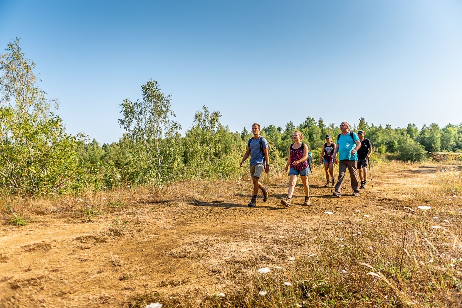
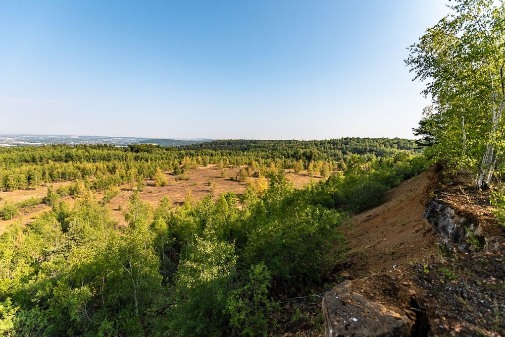
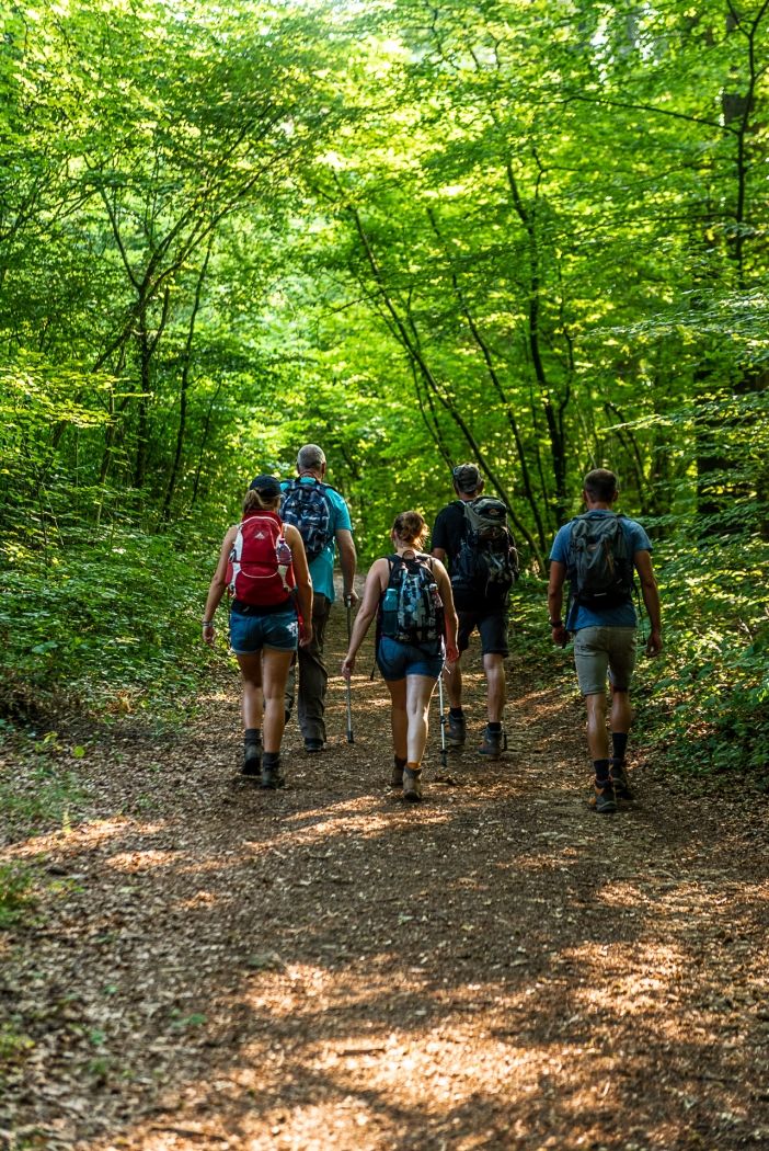
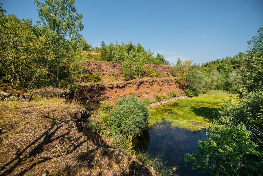
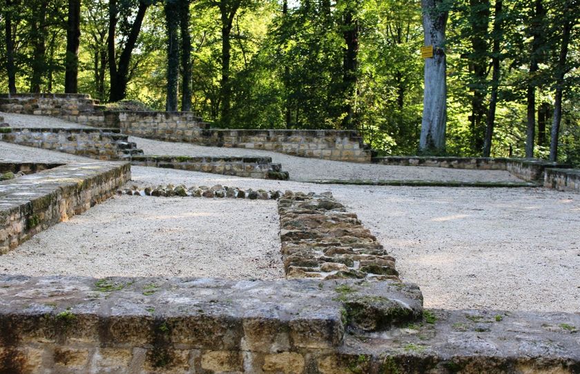
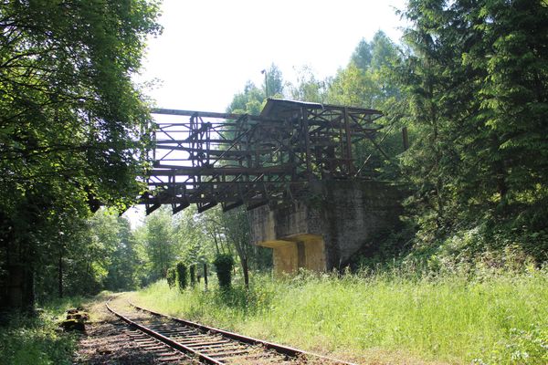
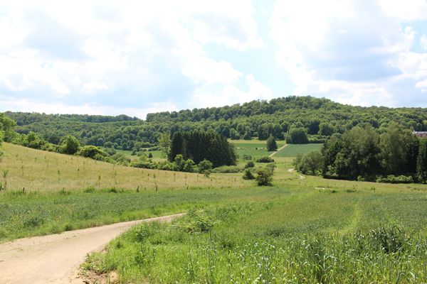
The discovery trail „Prënzebierg - Giele Botter“ takes you through an abandoned open-pit mining area in the "Land of Red Earth". At the time of ore mining, today's nature reserve was barren, the prevailing color red. After the minette mining was stopped, new types of habitats developed here. Today the area is characterized by vegetation and the color green as well as by the variety of different development stages and biotopes. Discover along your way along former routes, where „Buggies“ used to run, one and the same landscape from two different perspectives: be transported back to the time of ore mining, which shaped today's landscape, and explore various stages of vegetation development and observe the extremely diverse and rare flora and fauna of today's nature reserve.
© Administration Nature et Forêt
Signposting

Directions
Please follow the signage with the two white arrows on the green rectangle
For your safety
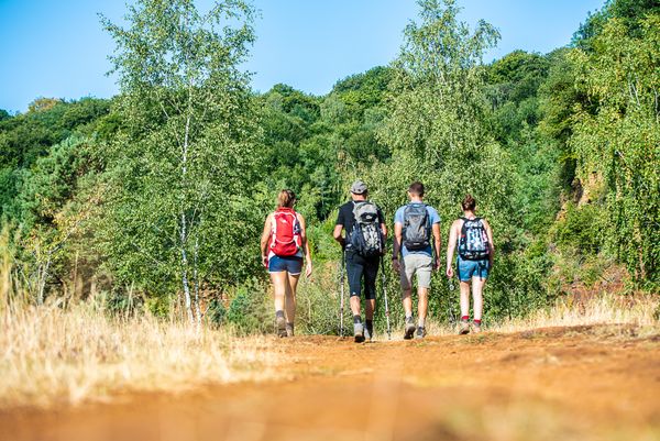
The path through the nature reserve may lead over uneven ground. Therefore, think of sturdy footwear and weatherproof clothing.
Warning: Please do not step too close to the edge of the rock walls, as rock fragments can loosen under your feet at any time.
Equipment
Please bring enough food and drinking water for the route.
Journey
Pétange station is within ten minutes on foot
Parking:
The starting point is located at a free public parking lot


 This website uses technology and content from the Outdooractive Platform.