Description
A historic hike to the industrial heart of Luxembourg
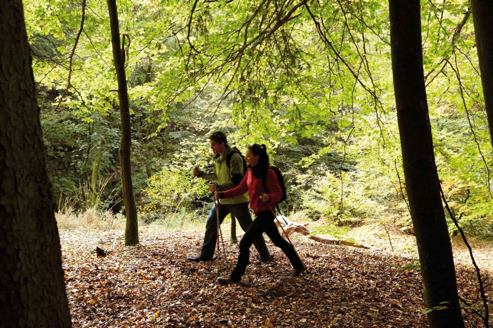
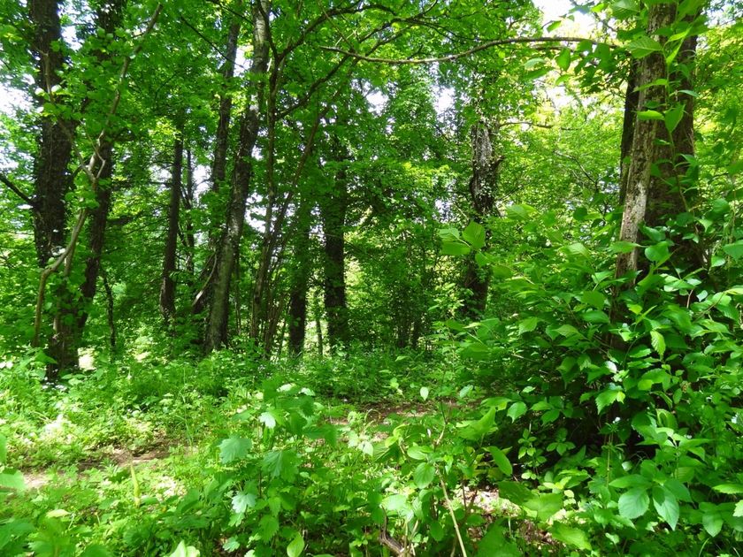
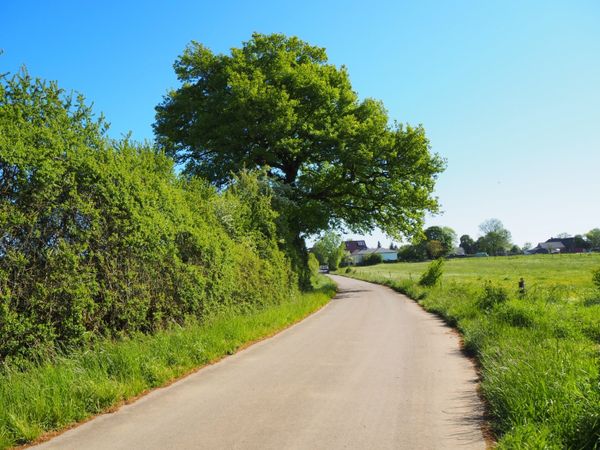
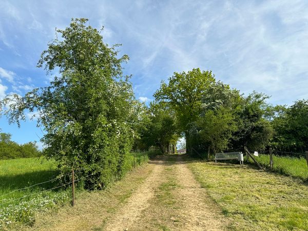
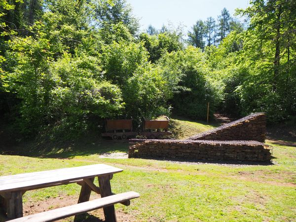
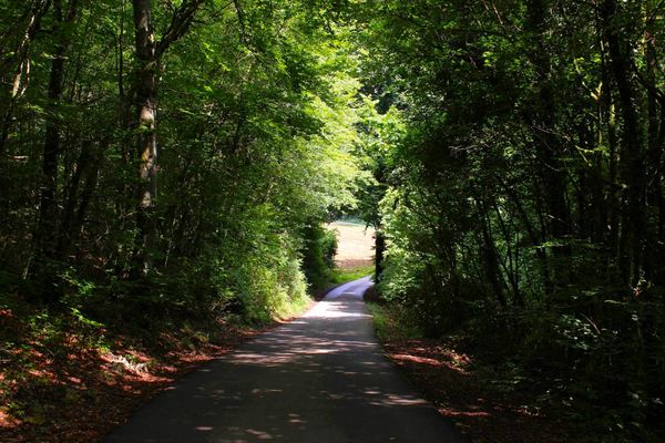
This hiking trail takes you from the capital to the southern region of the country. Along the idyllic Gantenbeinsmillen, located on the edge of Luxembourg City, you will be presented with, besides the Hesperange Castle and the House of Nature in Kockelscheuer, a beautifully attractive landscape stretching to the south of the country. The land of the Red Earth, formerly predominantly industrial, now shows its diverse character. The hiker enjoys an impressive historical panorama as well as the unique atmosphere that dominates this area.
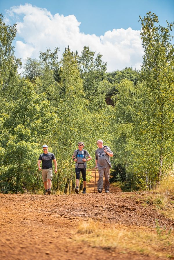
The "Sentier du Sud" leads you directly from Luxembourg City to the route of the "Minett Trail," which covers over 90 kilometers and 10 stages throughout the entire region.
Audio
MNR Audioguide mp3For your safety
At some points, the path leads over pedestrian crossings across busy roads. Please therefore pay attention to other road users.
Equipment
Please remember to pack enough drinking water and food for the hike
Journey
Bus stop "Pulvermuhl, Hammer Dällchen" offers direct connections to Luxembourg City train station.
Parking:
Along the route, the path passes several public parking lots (e.g. Kockelscheuer parking lot), from which you can start the route.


 This website uses technology and content from the Outdooractive Platform.