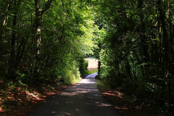
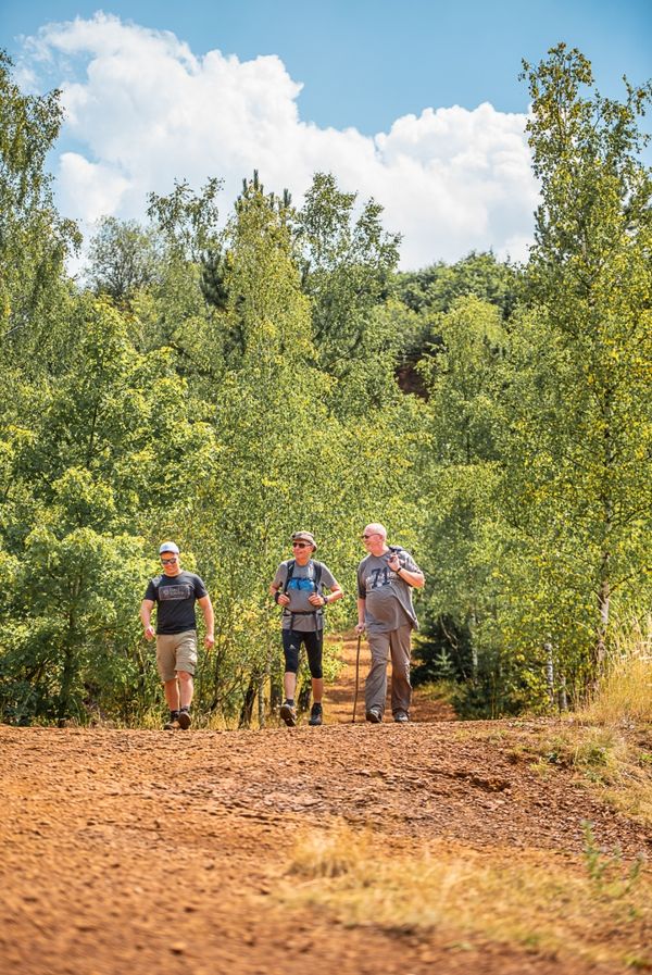
©Visit Luxembourg
Minett Germany France

Auto-Pédestre trail Clemency

Hunting Season 2025/26 — Check for hunts

Autumn is here, and that means hunting season has begun! From mid-October to January/February, hunters are active across the country. Stay safe by checking hunt dates in your area on our Map. 

Click on Map in the Header > Services > More > Hunting.

Starting point

Chapel St. Maximin, rue de la chapelle, 4966 Clemency

Destination

Chapel St. Maximin, rue de la chapelle, 4966 Clemency

Distance
8,46 km
Duration
2:10 h
Difficulty
medium
  • Condition
Highest point
375 Hm
Lowest point
320 Hm
Aggregated Ascent
121 Hm
Aggregated Descent
121 Hm
Circular routes Visit Luxembourg

Description

Refreshment stops available
Relaxed hiking across open fields and through extensive forests around Clemency.

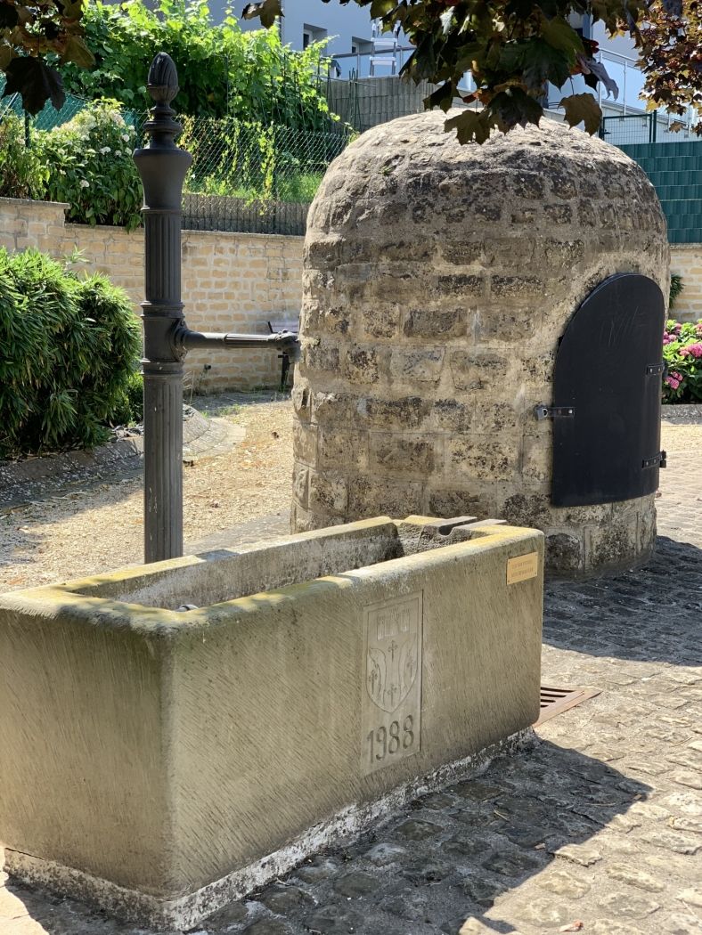
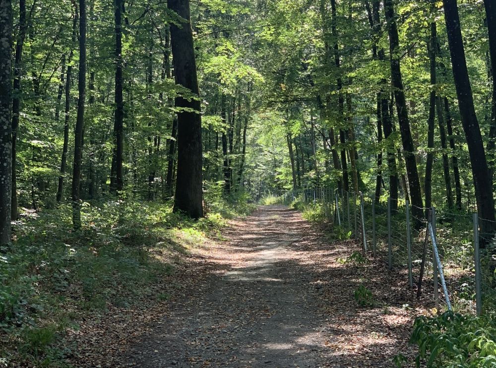
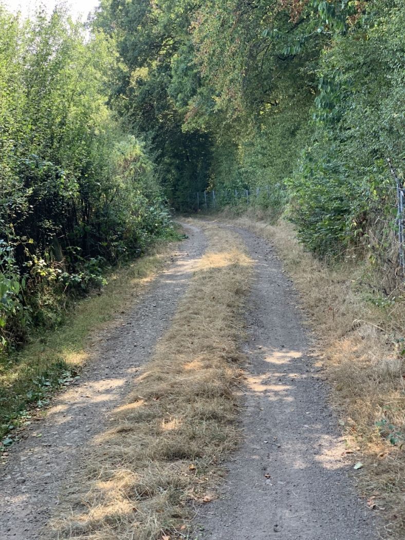
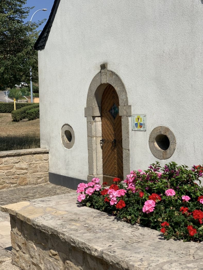
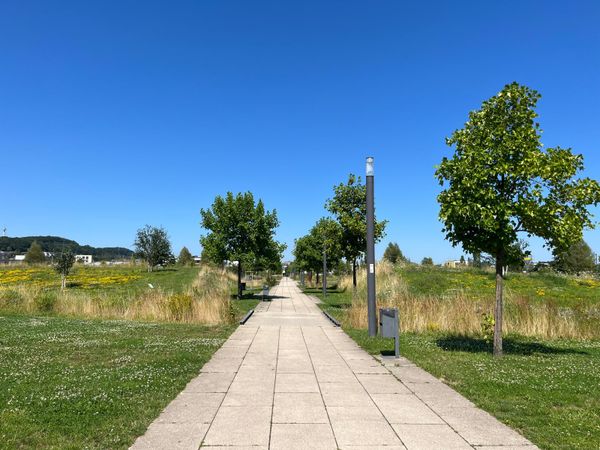
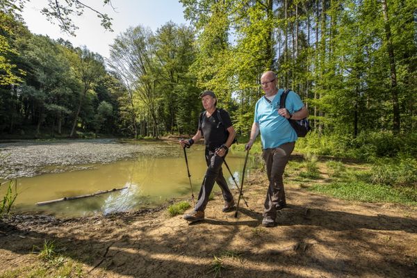
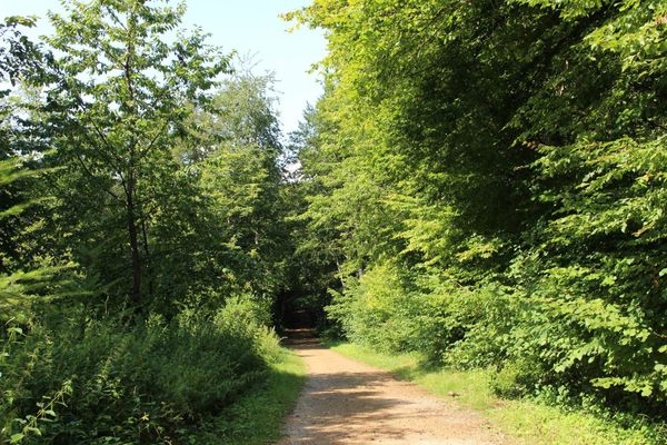
The path starts in the village center of Clemency near the former train station. Although no trains run here anymore, the station building has been converted into an inn. The route partly passes through open land and partly through the forests around Clemency. The entire route follows well-walkable paths.

Just follow the blue diamond on a white background; the route is marked in both directions.

Suggestions nearby

Auto-Pédestre trail Clemency

  • ©Brasserie Nationale
    Brasserie Nationale (Bofferding & Battin)
    Discover the world of beers from Luxemburg at the Brasserie Nationale (Bofferding & Battin)
    Find out more
  • ©Château de Clemency
    Castle of Clemency - Espace "Peggy's"
    Wifi
  • ©Château de Clemency
    Castle of Clemency - Espace "Tribute"
    Garden / ParkWifiSituated in the centre of town
  • ©Château de Clemency
    Castle of Clemency - Espace "Les Années 20"
    Garden / ParkWifiSituated in the centre of town

Similar hiking tours

©Pulsa Pictures, ORT SUD
Thematic paths
Nature walk "Natura 2000" - Ellergronn
Distance: 11,89 km
Duration: 3:10 h
Difficulty: medium
Find out more
©ORT Sud
Circular routes
Auto-Pédestre trail Belvaux
Distance: 8,66 km
Duration: 3:10 h
Difficulty: medium
Find out more
©ORT Sud
Circular routes
Auto-Pédestre trail Rodange
Distance: 7,80 km
Duration: 2:10 h
Difficulty: medium
Find out more
©ORT Sud
Circular routes
Auto-Pédestre trail Rumelange - Walert
Distance: 8,89 km
Duration: 2:25 h
Difficulty: medium
Find out more
©Pulsa Pictures, ORT Sud
Circular routes
Auto-Pédestre trail Rumelange - Gare
Distance: 6,84 km
Duration: 2:05 h
Difficulty: medium
Find out more
©Pulsa Pictures, ORT SUD
Circular routes
Didactic path „Prënzebierg - Giele Botter"
Distance: 7,64 km
Duration: 2:10 h
Difficulty: medium
Find out more
©Pulsa Pictures, Pulsa Pictures ORT Sud
Circular routes
Auto-Pédestre trail Esch-sur-Alzette
Distance: 7,75 km
Duration: 2:10 h
Difficulty: medium
Find out more
©Pulsa Pictures, ORT SUD
Circular routes
Auto-Pédestre trail Pétange
Distance: 7,61 km
Duration: 2:05 h
Difficulty: medium
Find out more
©Pulsa Pictures, Pulsa Pictures_ORT Sud
Minett Trail
Minett Trail: Tétange Gare - Rumelange Gare
Distance: 7,79 km
Duration: 2:10 h
Difficulty: medium
Find out more
outdooractive This website uses technology and content from the Outdooractive Platform.