Circular routes Visit Luxembourg
Description
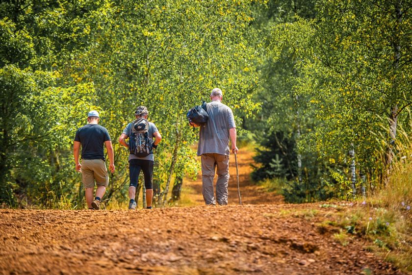
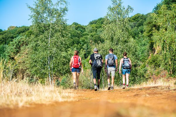
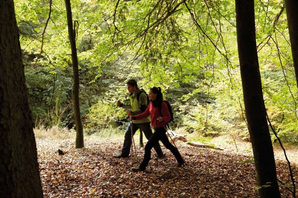
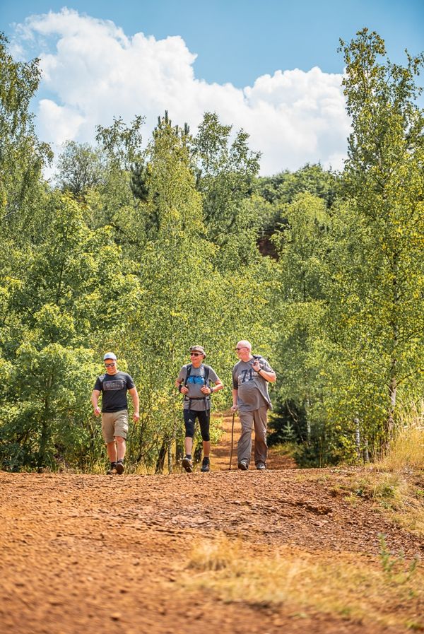
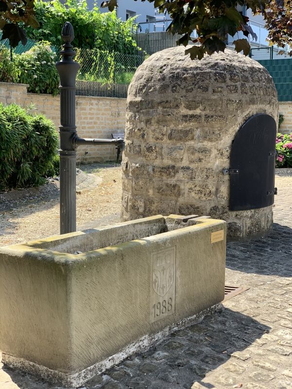
Hike on the Auto-Pédestre route Schifflange.
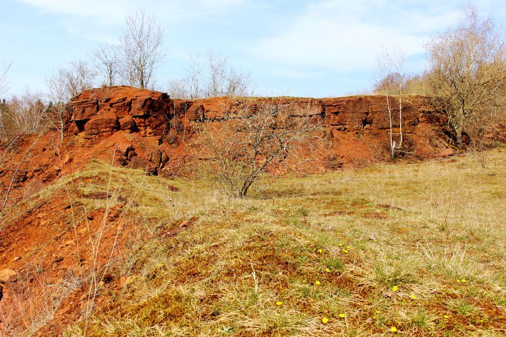
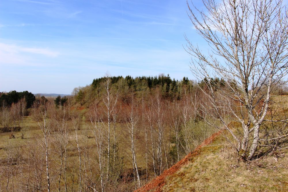
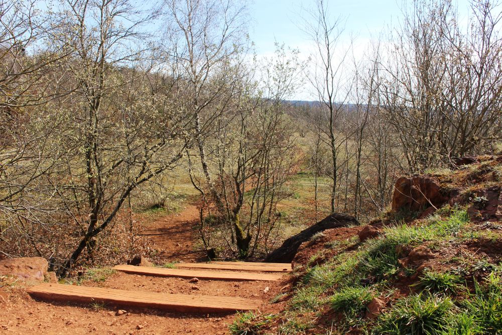
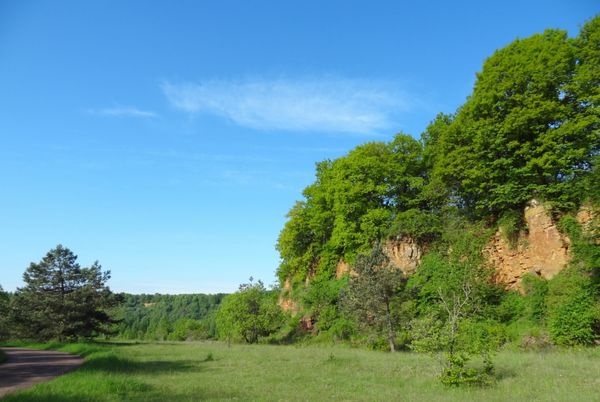
For the most part, the route leads through the shady forests of Schifflange. It has several highlights for you: for example, the seven mermaids at the source of Marxeweier, a former mine entrance, and a magnificent view from Lalléngerbierg over the red earth to the Belval district with its two blast furnaces.
Directions
Follow the signage with the blue lozenge on a white background
For your safety
Do not step too close to the rock edges, they could break off at any time.
Equipment
Please remember to bring enough food and drinking water
Journey
Public transport:
Parking:
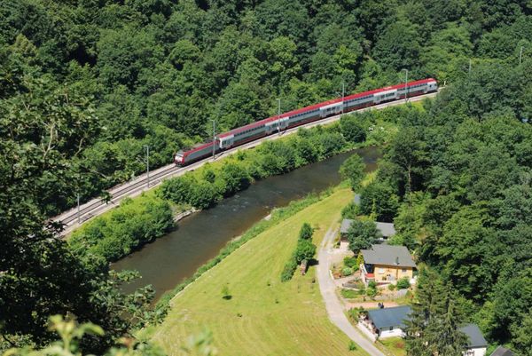
Schifflingen train station is located 1.3 km from the starting point
Parking:
Public parking at the start and end point


 This website uses technology and content from the Outdooractive Platform.