Luxembourg City Éislek Müllerthal Mosel Minett Guttland Germany France

Auto-Pédestre trail Bascharage

Starting point
Bascharage-Sanem train station, 5 rue de la Continentale 4917 Bascharage
Destination
Bascharage-Sanem train station, 5 rue de la Continentale 4917 Bascharage
Distance
8,66 km
Duration
2:15 h
Difficulty
medium
  • Condition
  • Technique
Highest point
338 Hm
Lowest point
275 Hm
Circular routes D. O.

Description

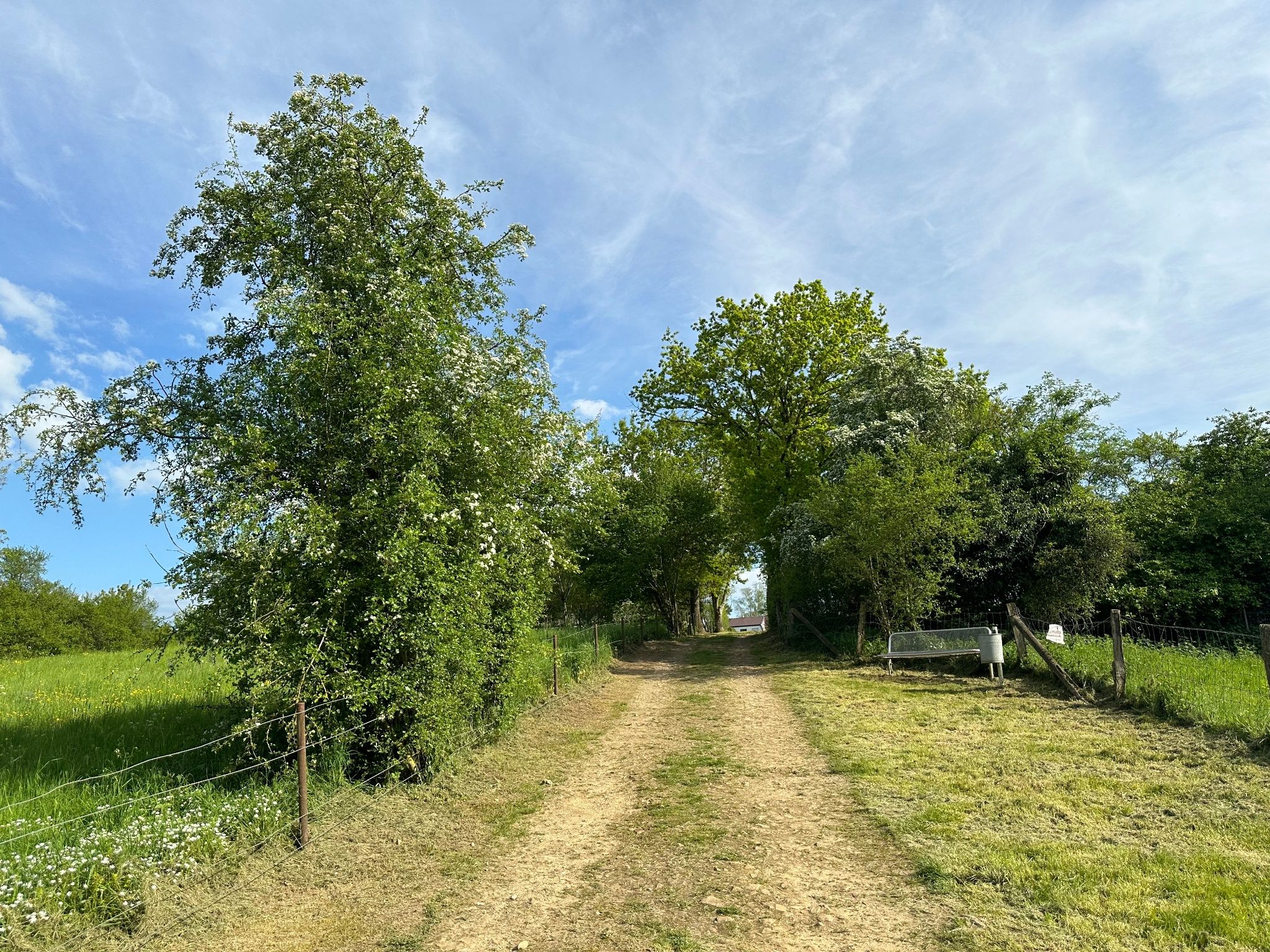
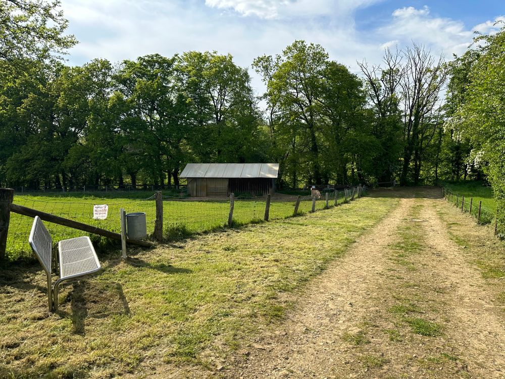
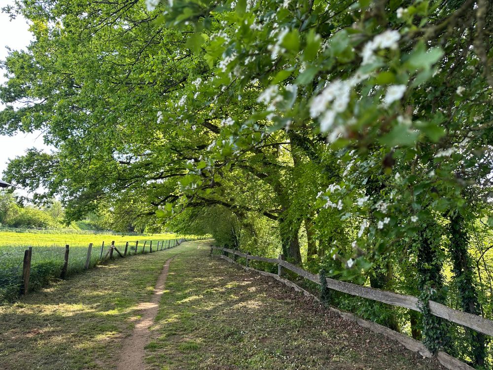
Hike accross and along the city of Bascharage on this circular trail

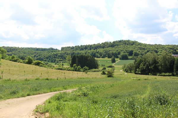
We leave the town behind us and walk north­bound towards the industrial facilities. Past these facilities, we go in the direction of Hautcharage. We walk along the edge of town of Bascharage and take the cycle path leading back to the railway line, which we follow through two pieces of woodlands as far as the starting point.

for tour routing
circular-walk-bascharage gpx

Suggestions nearby

Auto-Pédestre trail Bascharage

  • Hotel Carpini
    Where? 79A, Route de Luxembourg, L-4950 Bascharage
    Hotel Carpini
    Pets allowedWifiParkingRestaurant
  • Hotel-Restaurant Beierhaascht Room
    Where? 240, Avenue de Luxembourg, L-4940 Bascharage
    Hotel Béierhaascht
    S
    Pets allowedWifiParkingElectric car charging stationsRestaurant
  • dégustation Visite Brasserie
    Where? 2, Boulevard J.F. Kennedy, L-4930 Bascharage
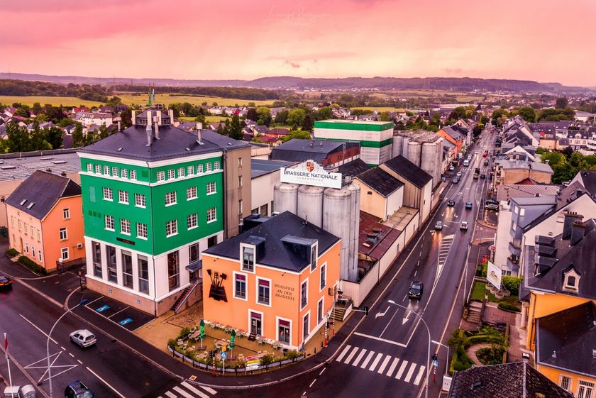
    Brasserie Nationale (Bofferding & Battin)
    Discover the world of beers from Luxemburg at the Brasserie Nationale (Bofferding & Battin)
    Find out more

Similar hiking tours

Thematic paths
National hiking trail "Path of the Minerworkers"
Distance: 29,16 km
Duration: 8:10 h
Difficulty: medium
Find out more
Distance trails
27 Station to station Belvaux-Soleuvre-Oberkorn
Distance: 5,20 km
Duration: 1:25 h
Difficulty: medium
Find out more
Thematic paths
Tour tip
Geological Trail - "Giele Botter"
Distance: 2,43 km
Duration: 0:45 h
Difficulty: medium
Find out more
Distance trails
32 Station to station Bascharage-Sanem - Dippach-Reckange
Distance: 10,14 km
Duration: 2:40 h
Difficulty: medium
Find out more
Circular routes
Auto-pédestre trail Leudelange
Distance: 5,18 km
Duration: 1:25 h
Difficulty: medium
Find out more
Circular routes
Auto-pédestre trail Abweiler
Distance: 10,71 km
Duration: 2:55 h
Difficulty: medium
Find out more
Distance trails
National hiking trail "South I"
Distance: 32,72 km
Duration: 9:25 h
Difficulty: medium
Find out more
Circular routes
Trail "Um Réimerwee"
Distance: 9,29 km
Duration: 2:40 h
Difficulty: medium
Find out more
Distance trails
22 Station to Station Dudelange - Burange - Rumelange
Distance: 10,22 km
Duration: 3:05 h
Difficulty: medium
Find out more
outdooractive This website uses technology and content from the Outdooractive Platform.