Description
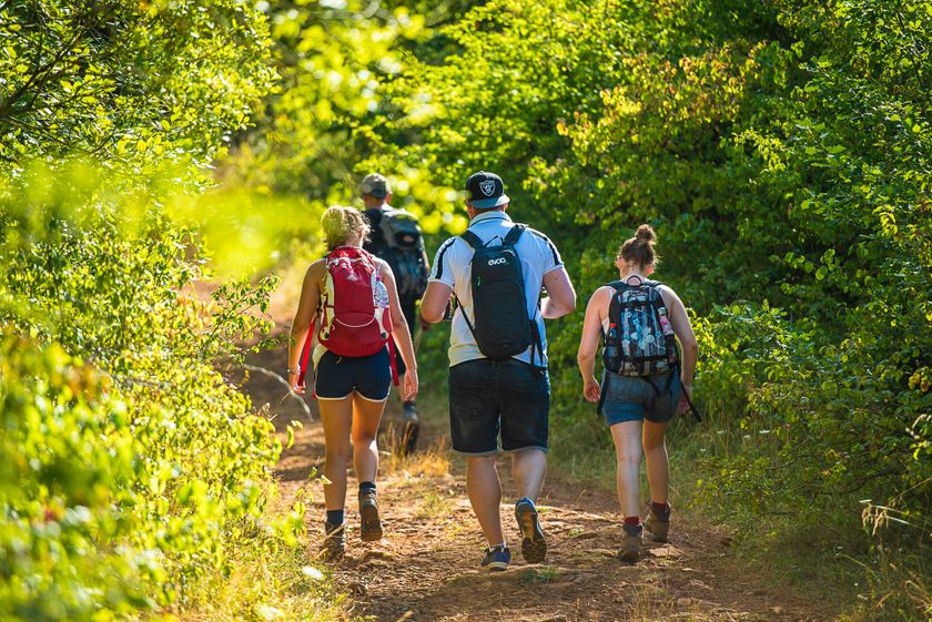
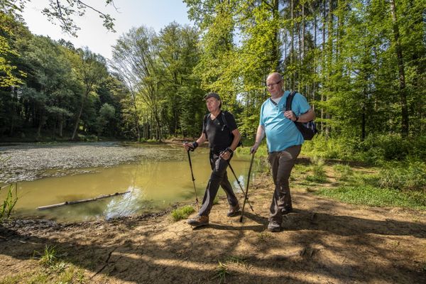
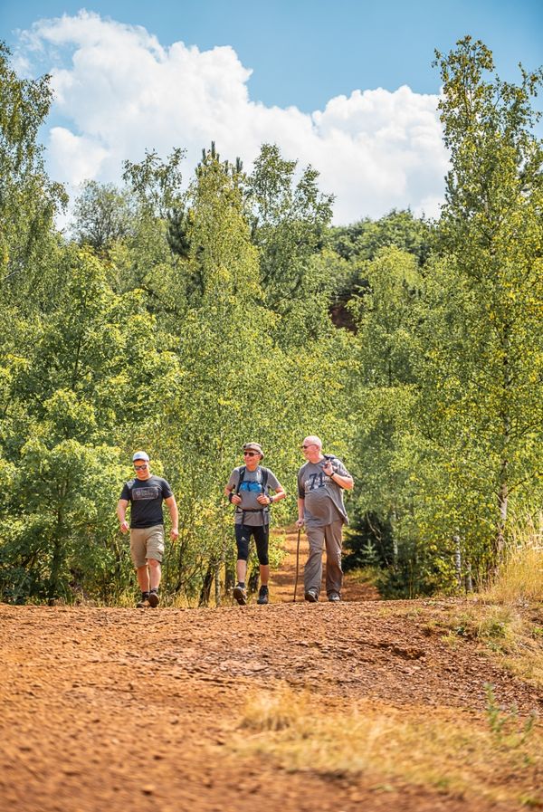
Hike in the footsteps of ore mining on the Auto-Pédestre route Rumelange - Walert.
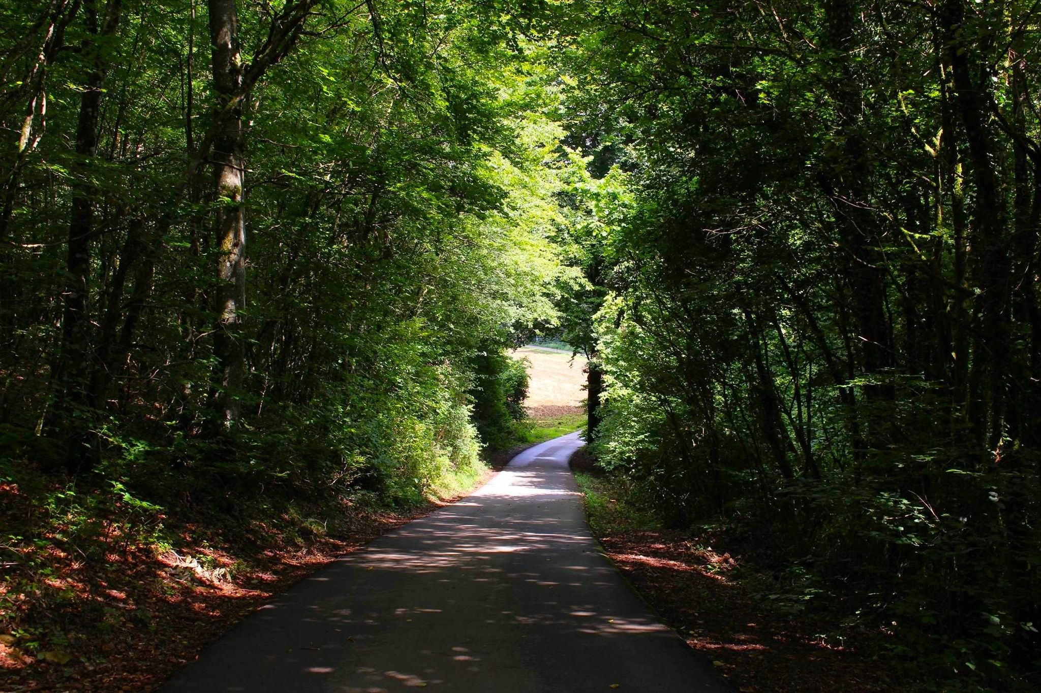
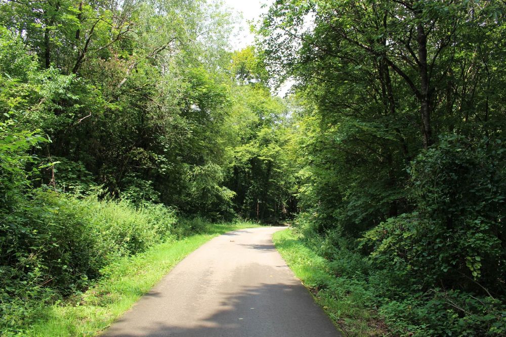
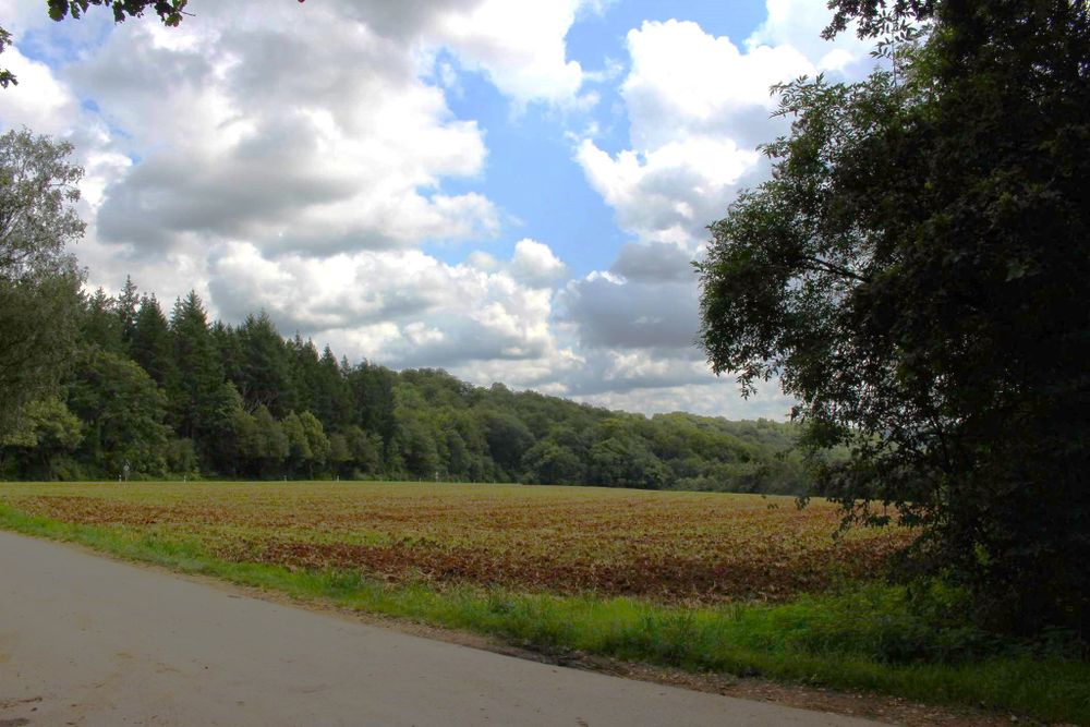
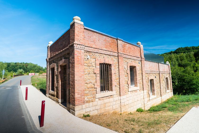
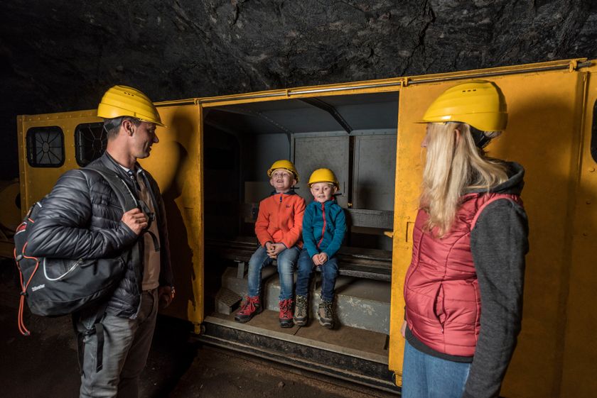
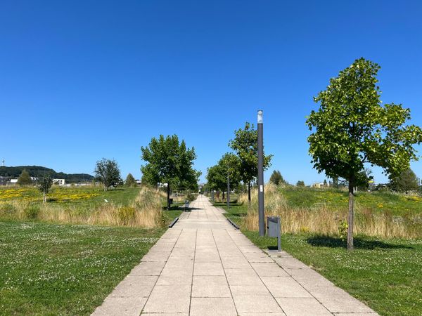
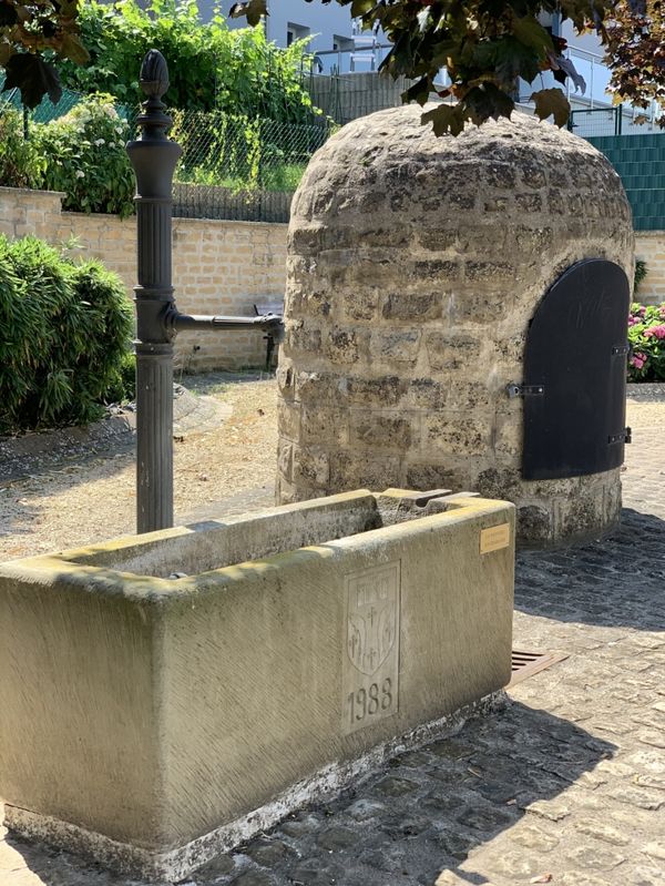
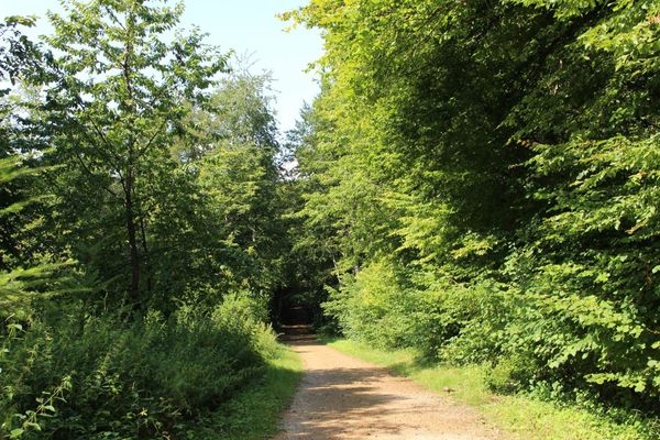
This hiking route is a mixture of nature and industrial culture. You will pass the mining museum "Musée des Mines Rumelange" and the old lime kilns, where quicklime was produced in the past. From here you leave the small town of Rumelange heading towards the "op der Heed" plateau. Before entering the forest, you will pass a conveyor belt transporting limestone from the open pit mine 300 m away to Rumelange.
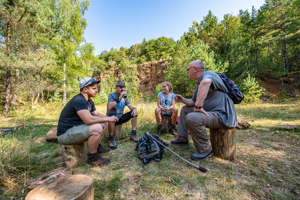
Along the way, you will also see further remains of iron ore mining, such as the remains of the cableway that formerly transported the ore, as well as several mine entrances in the "Welteschgrond". At the end of the hike, you will reach the destination of the conveyor belts encountered earlier: the Cimalux cement factory.
Directions
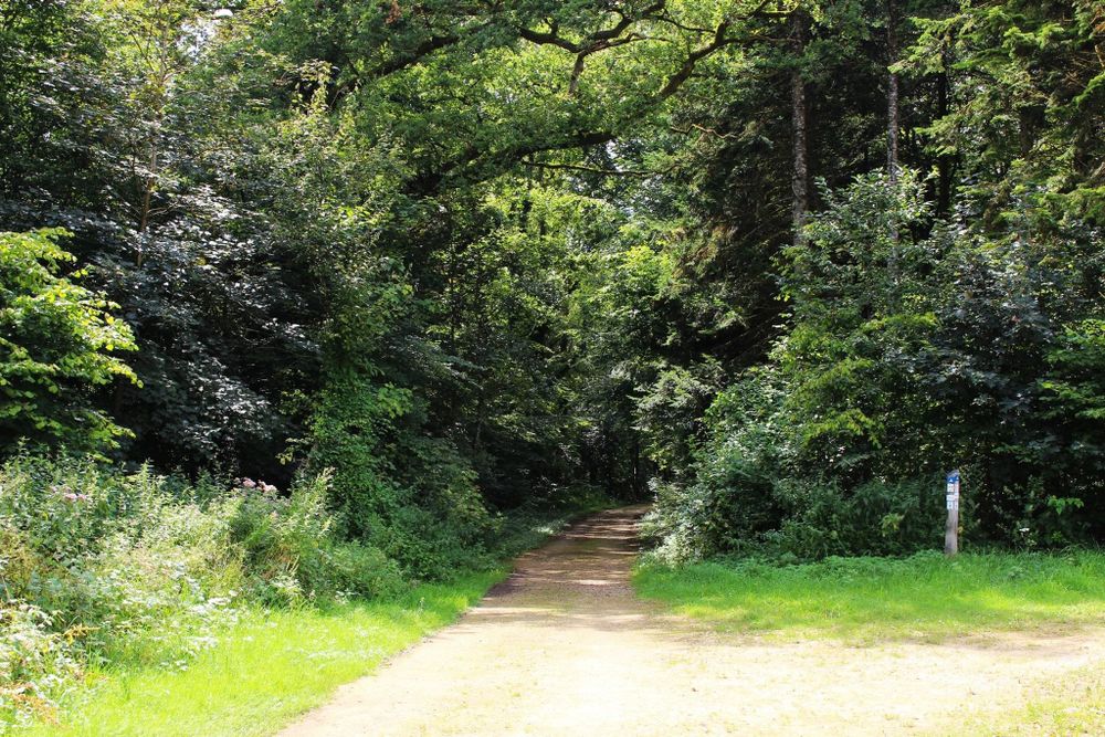
Please follow the signs with the blue lozenge on a white background. The path is marked in both directions.
Equipment
Please remember to bring enough drinking water and provisions for the journey
Journey
Bus: Rumelange, Laangegronn
Parking:
Public parking available.


 This website uses technology and content from the Outdooractive Platform.