©Visit Minett, Visit Minett
Minett Germany France

Auto-Pédestre trail Dudelange - Ginzebierg

Hunting Season 2025/26 — Check for hunts

Autumn is here, and that means hunting season has begun! From mid-October to January/February, hunters are active across the country. Stay safe by checking hunt dates in your area on our Map. 

Click on Map in the Header > Services > More > Hunting.

Starting point

Parking Ginzebierg -> Drive on the “Route de Volmerange” in Dudelange until you reach the parking lot on your left.

Destination

Parking Ginzebierg

Distance
7,69 km
Duration
2:20 h
Difficulty
medium
  • Condition
Highest point
416 Hm
Lowest point
285 Hm
Aggregated Ascent
157 Hm
Aggregated Descent
157 Hm
Circular routes Visit Luxembourg

Description

Kids & Family

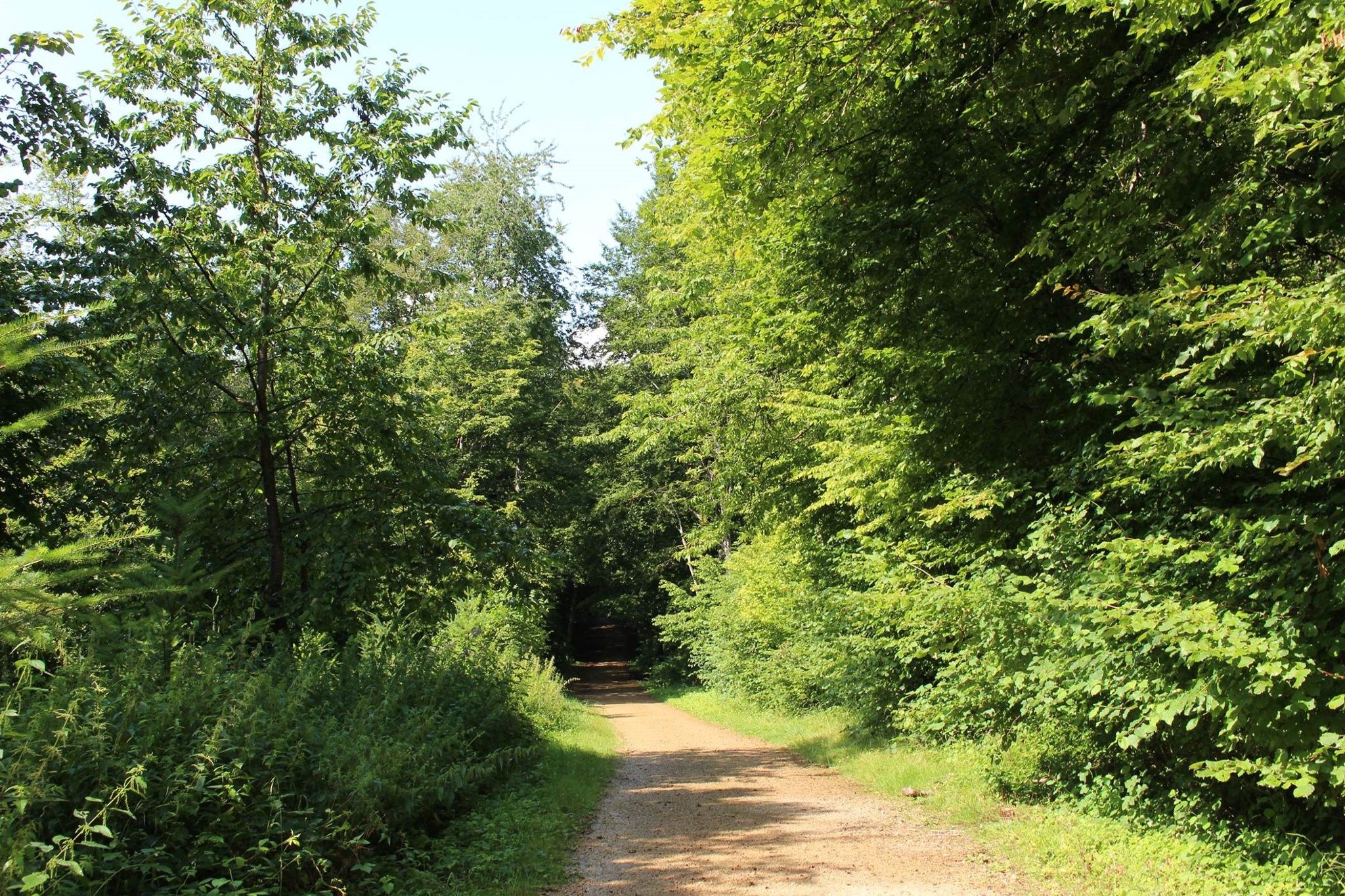
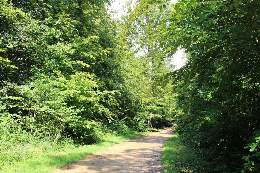
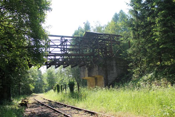
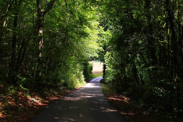
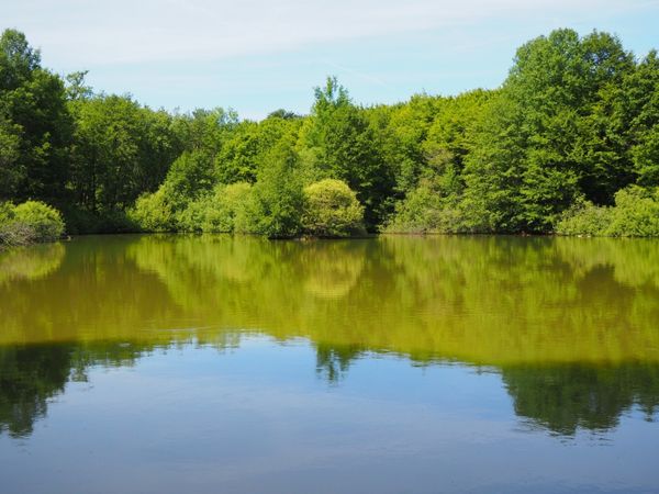
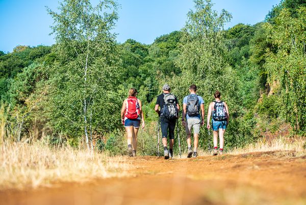
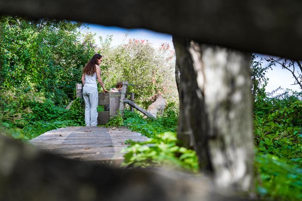
Hike around the industrial town of Dudelange on the Auto-Pédestre hiking route Dudelange-Ginzebierg.

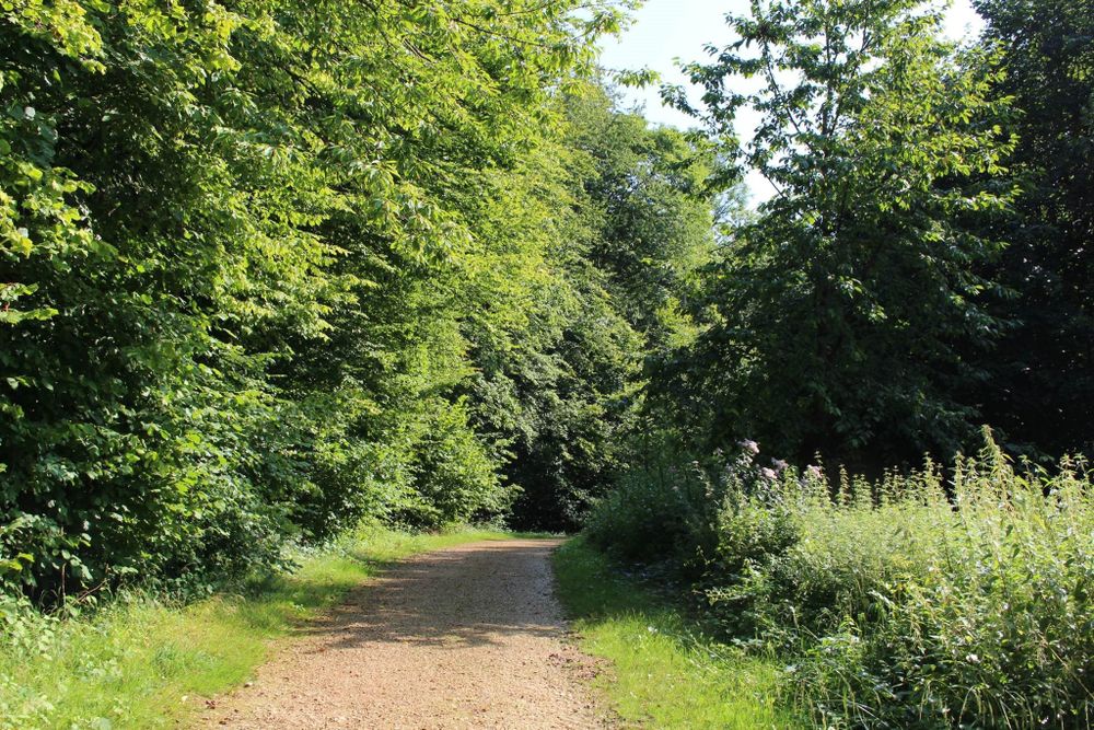
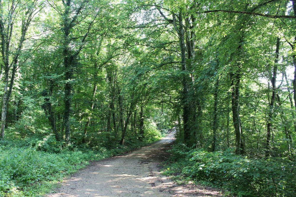
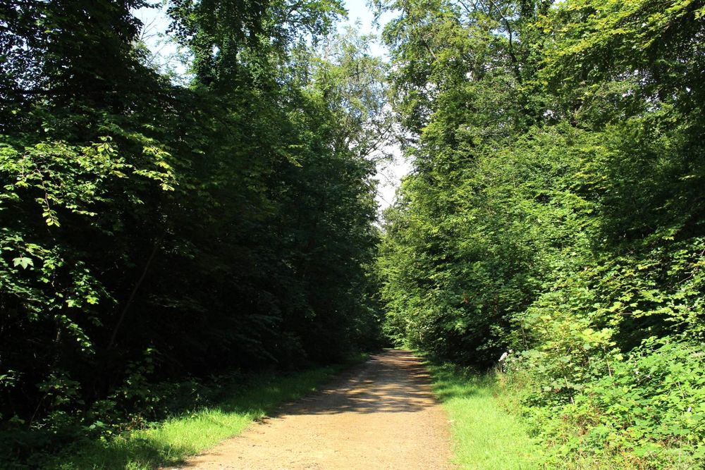
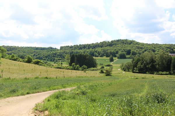
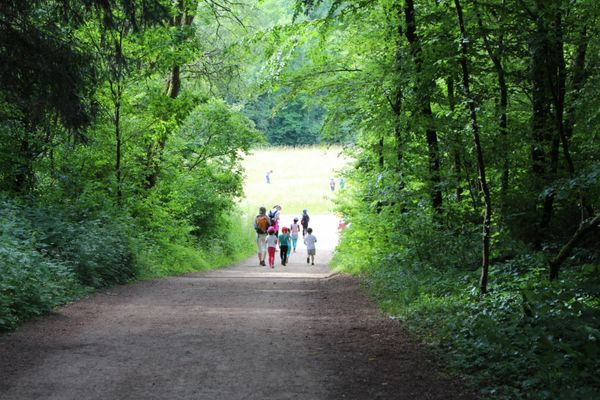
The Auto-Pédestre starts in the forest and mostly does not leave it, making this route perfect for a summer hike. As the name "Ginzebierg" already reveals, this hiking route is located on a plateau that offers wide views.

Suggestions nearby

Auto-Pédestre trail Dudelange - Ginzebierg

  • ©Mike Zenari
    Parc Le'h Adventures Dudelange
    Climbing among the treetops at the Parc Le’h
    Find out more

Similar hiking tours

©Pulsa Pictures, ORT SUD
Thematic paths
Didactic path "Natura 2000" - Ellergronn
Distance: 11,89 km
Duration: 3:10 h
Difficulty: medium
Find out more
©ORT Sud
Circular routes
Auto-Pédestre trail Rodange
Distance: 7,80 km
Duration: 2:10 h
Difficulty: medium
Find out more
©ORT Sud
Circular routes
Didactic path "Crauthem" forest trail
Distance: 6,18 km
Duration: 1:35 h
Difficulty: medium
Find out more
©ORT Sud
Circular routes
Auto-Pédestre trail Lamadelaine
Distance: 8,38 km
Duration: 2:25 h
Difficulty: medium
Find out more
©Pulsa Pictures, ORT SUD
Minett Trail
Minett Trail: Bergem/Beim Nëssert - Gare Bettembourg
Distance: 11,66 km
Duration: 3:00 h
Difficulty: medium
Find out more
©CFL, Visit Luxembourg
Distance trails
34 Station to Station Pétange - Kleinbettingen
Distance: 16,23 km
Duration: 4:10 h
Difficulty: medium
Find out more
©Visit Luxembourg
Distance trails
National hiking trail "South I"
Distance: 32,72 km
Duration: 9:25 h
Difficulty: medium
Find out more
©Visit Luxembourg
Distance trails
30 Station to station Oberkorn - Fond de Gras - Rodange
Distance: 17,78 km
Duration: 5:00 h
Difficulty: medium
Find out more
©Visit Luxembourg
Circular routes
Auto-Pédestre trail Clemency
Distance: 8,46 km
Duration: 2:10 h
Difficulty: medium
Find out more
outdooractive This website uses technology and content from the Outdooractive Platform.