Circular routes Visit Luxembourg
Description
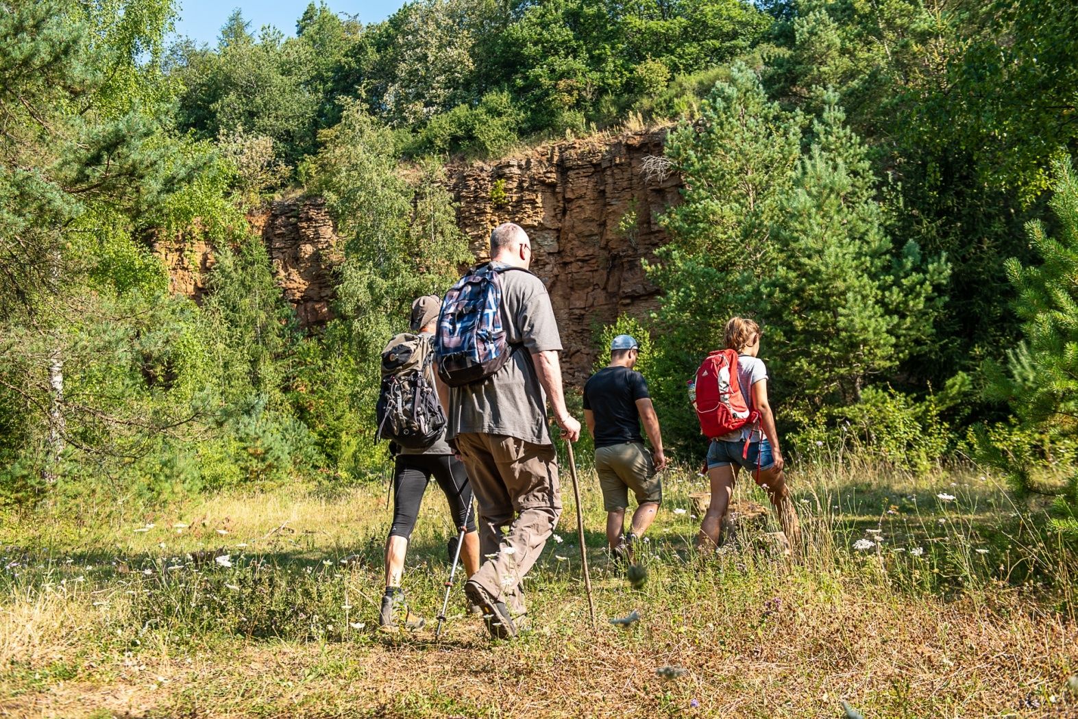
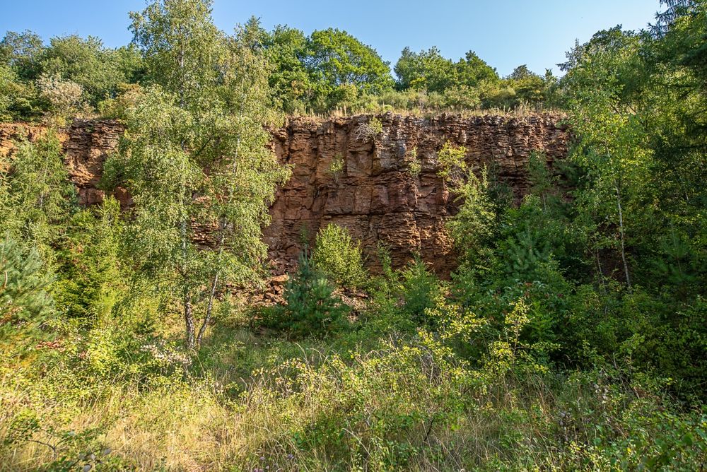
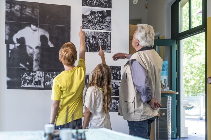
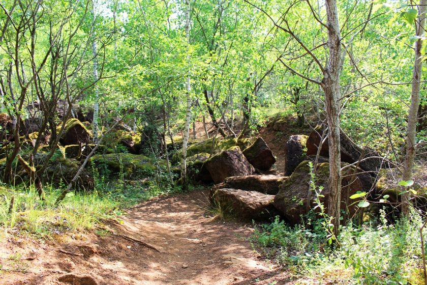
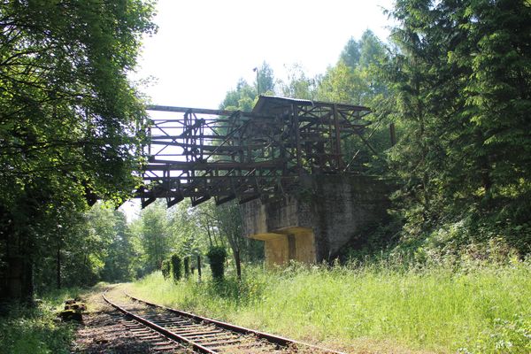
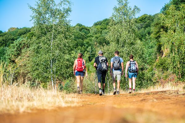
Learn more about the old open-pit mining area on the Haard-Hesselsbierg-Staebierg educational route, S1.
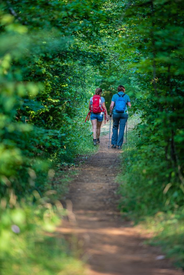
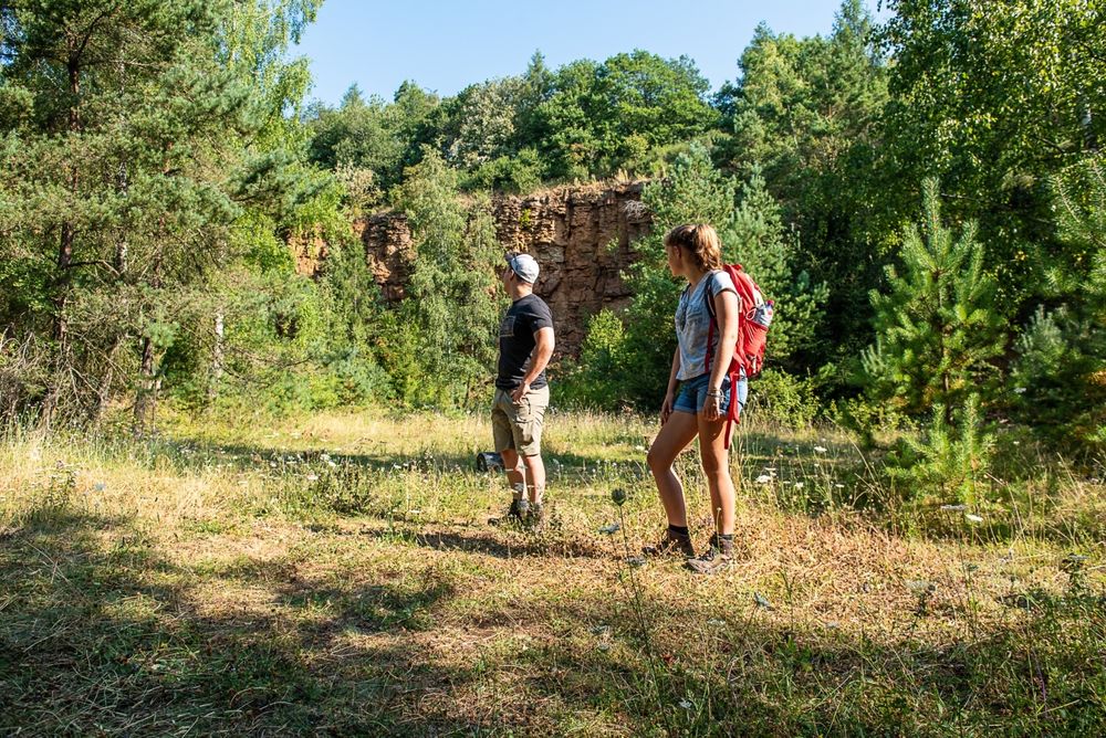
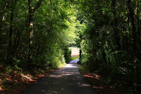
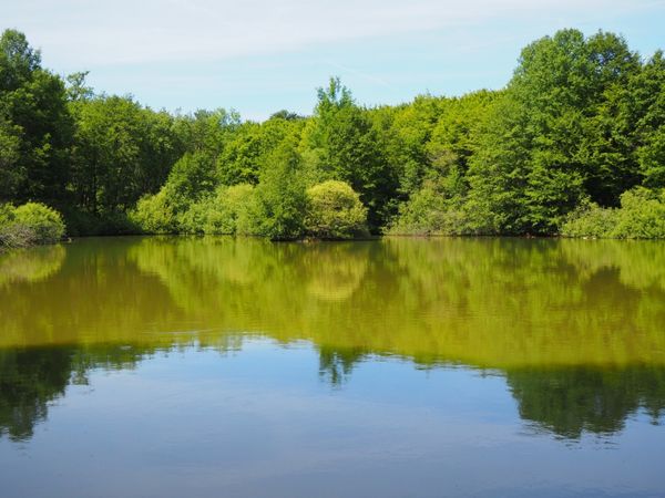
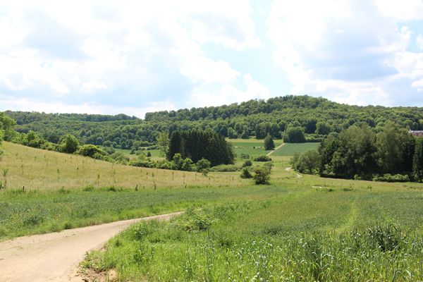
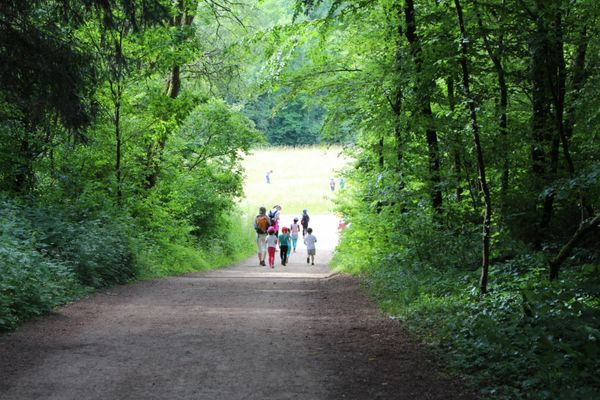
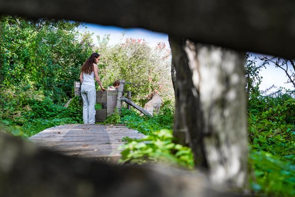
Along the path, 17 display panels explain the former open-pit mining area as well as the current nature reserve. Discover the extensive high plains of the former open-pit mine, walk along a path winding through forest between slipped ground, admire tall rock walls, and surely see red soil!
Signposting

Directions
Please follow the signage with the white arrows on a green background.
For your safety
The path is not too demanding. Nevertheless, you should think of sturdy shoes and clothing that is suitable for the weather.
Equipment
Please remember to pack enough drinking water and provisions.
Journey
Public transport:
Parking:
The "Dudelange Gare Usines" train station is a 3-minute walk away.
Parking:
Public parking available on site.


 This website uses technology and content from the Outdooractive Platform.