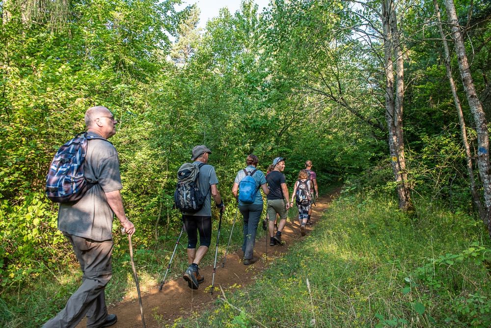
Description
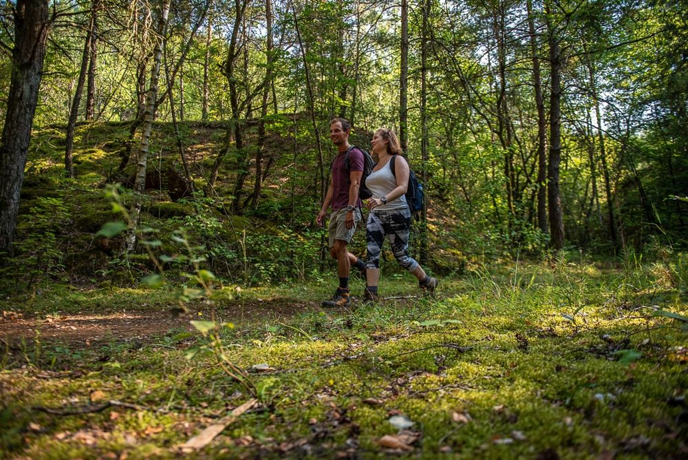
Learn more about the industrial past of the region and the geological features on the Haard-Hesselsbierg-Staebierg S2 educational trail.
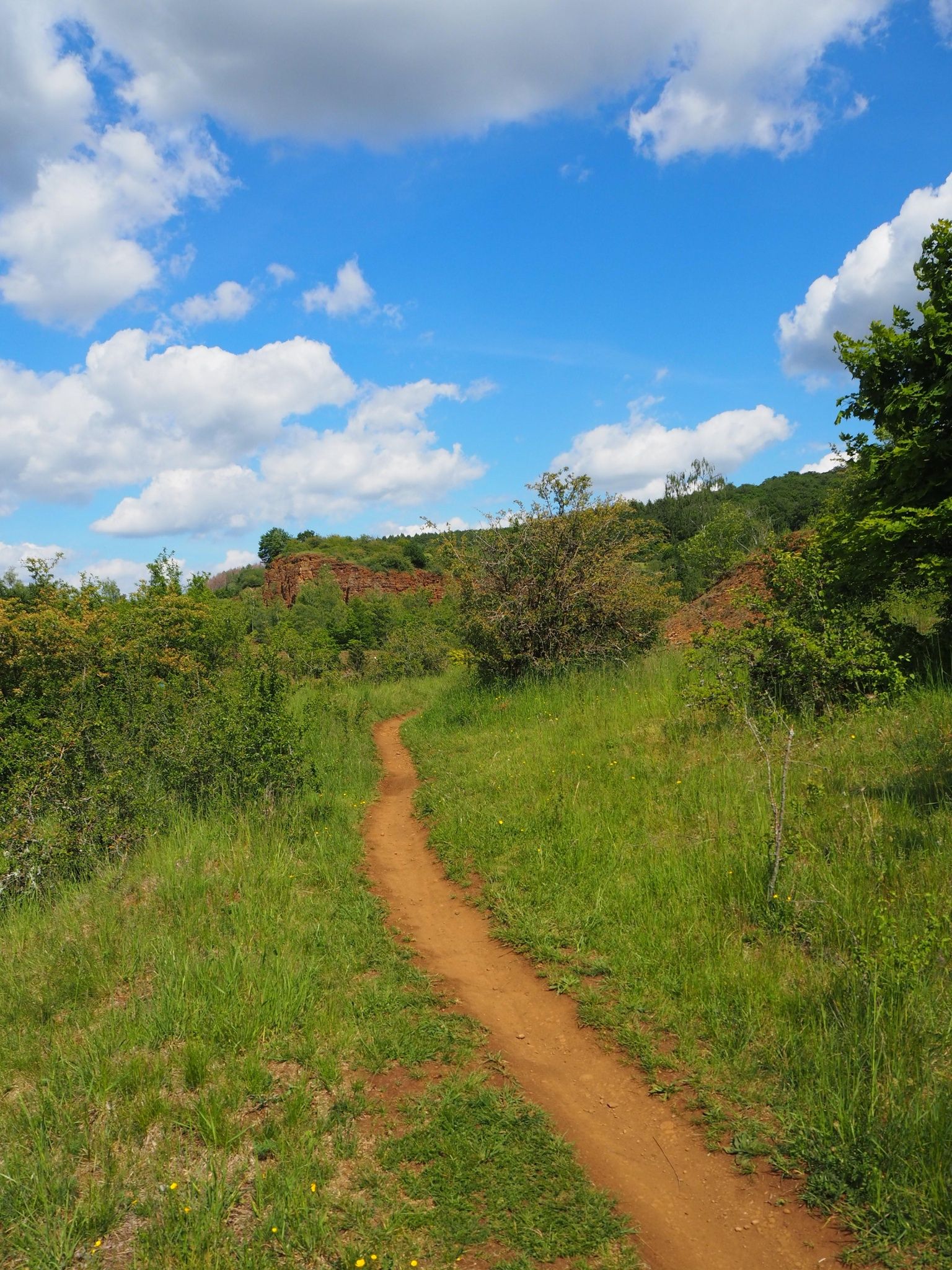
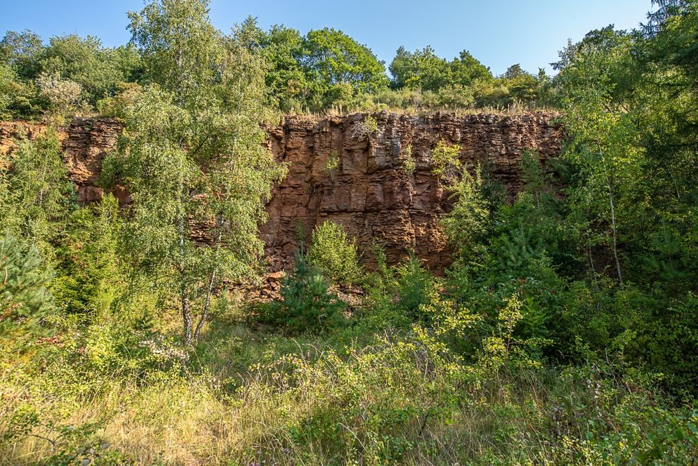
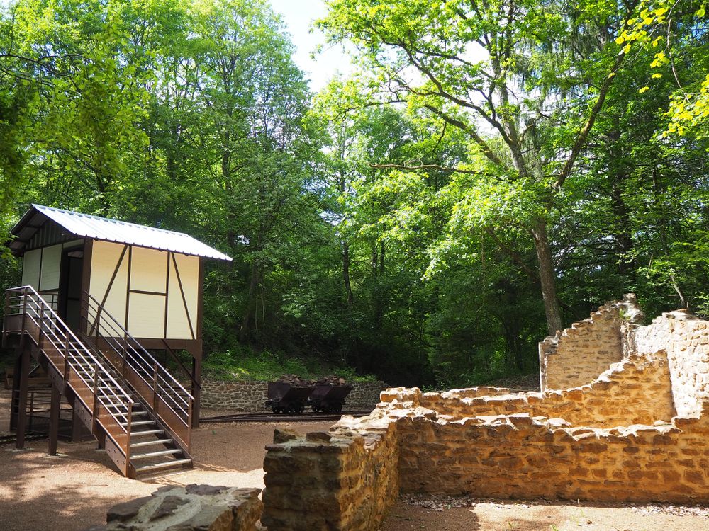
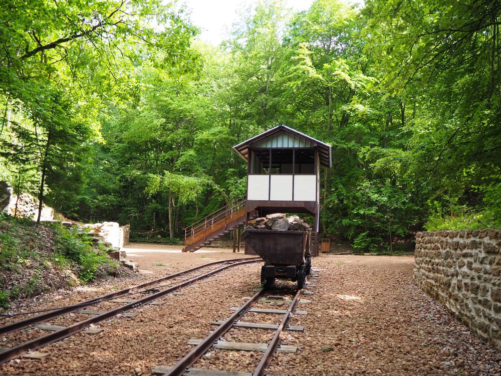
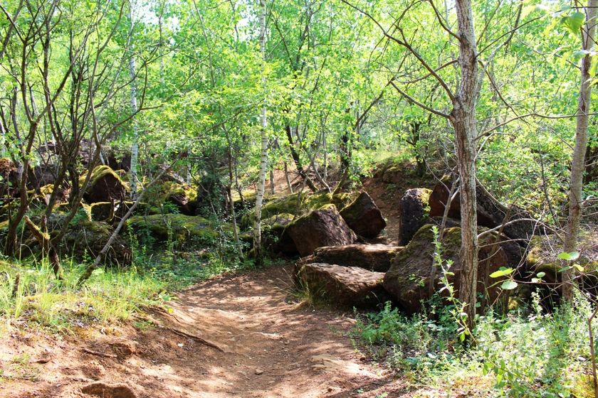
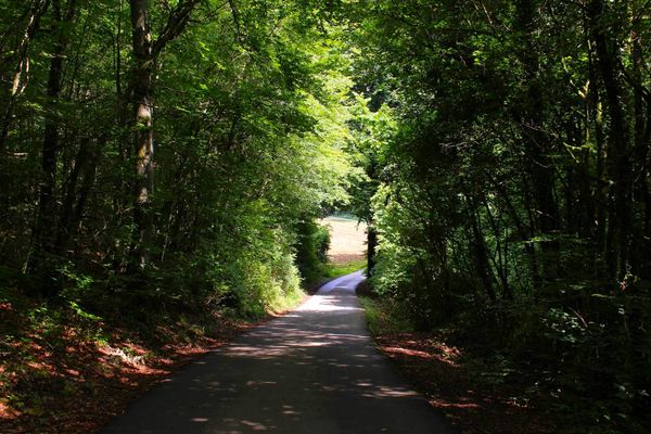
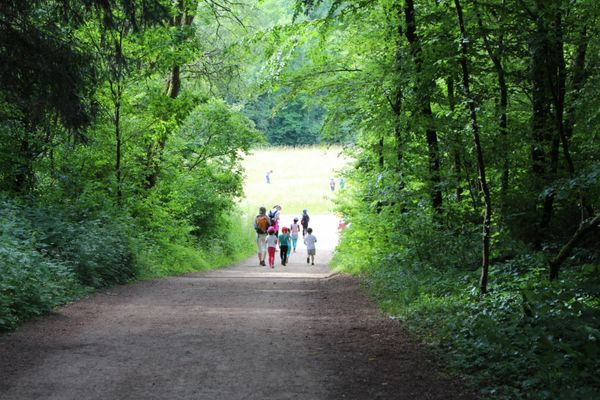
The path first leads through the forest to a small path winding between earth mounds. Already here you can see red earth and a collapsed pit. It continues through a former open-pit mine to the "Bremshäuschen" and the associated loaded carts ("Buggies"). Note the cracks in the ground in the following forest; these are caused by collapsed pits.
Signposting

Directions
Please follow the signage with the white arrow on green background.
For your safety
Do not get too close to the rock walls, they may break off at any time.
Equipment
Please remember to pack enough food and drinking water for the trail.
Journey
Rümelingen train station is a 12-minute walk away
Parking:
Public parking is available at the stadium on Rue du Parc, 3753 Rumelange


 This website uses technology and content from the Outdooractive Platform.