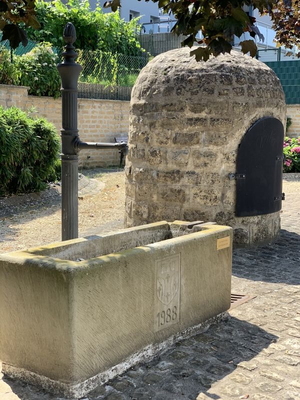
Description
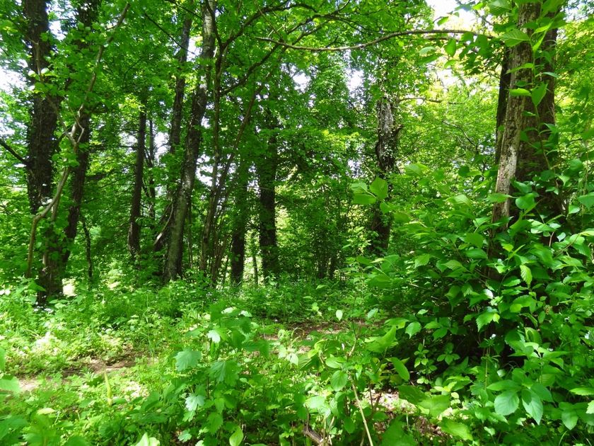
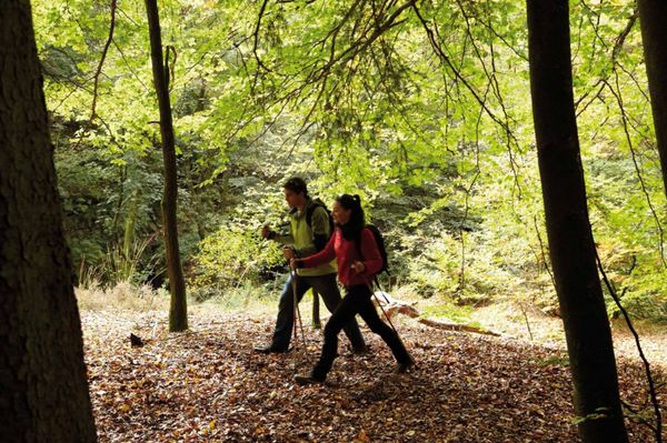
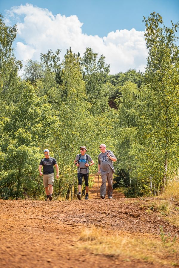
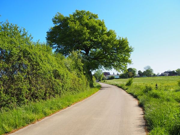
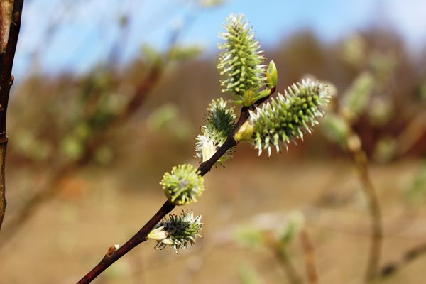
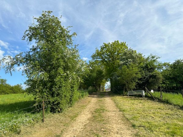
Take a walk through the forest and soak in the freshness of nature on the Auto-Pédestre hiking route Abweiler.
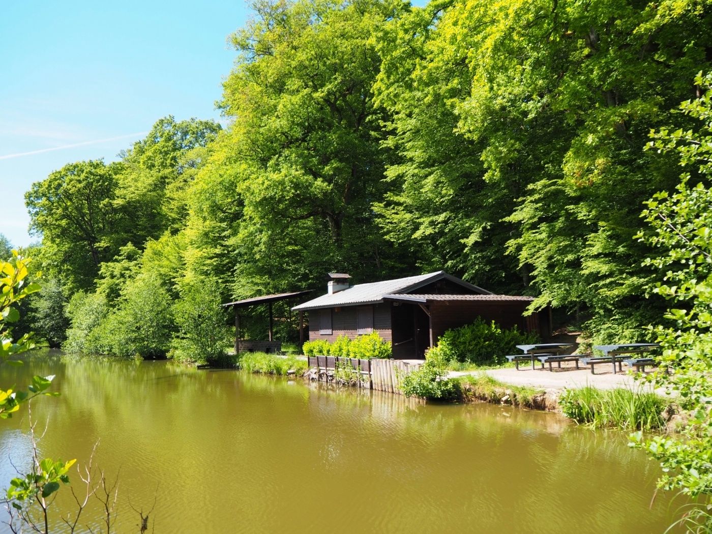
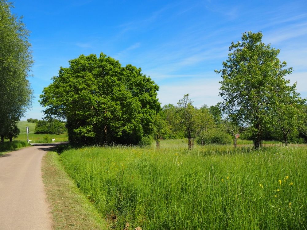
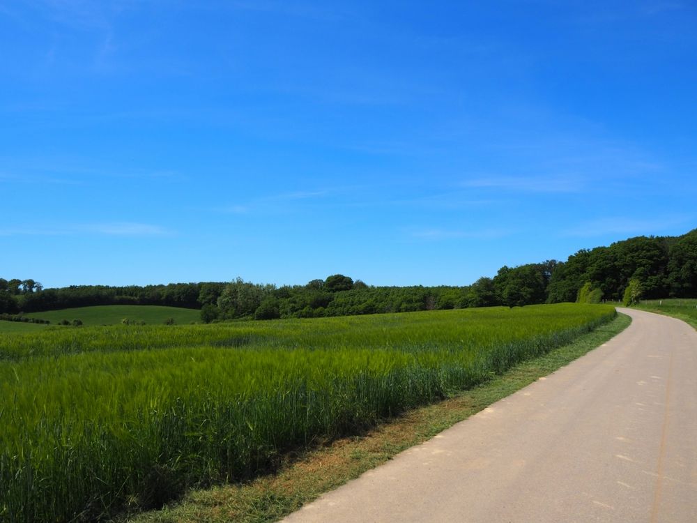
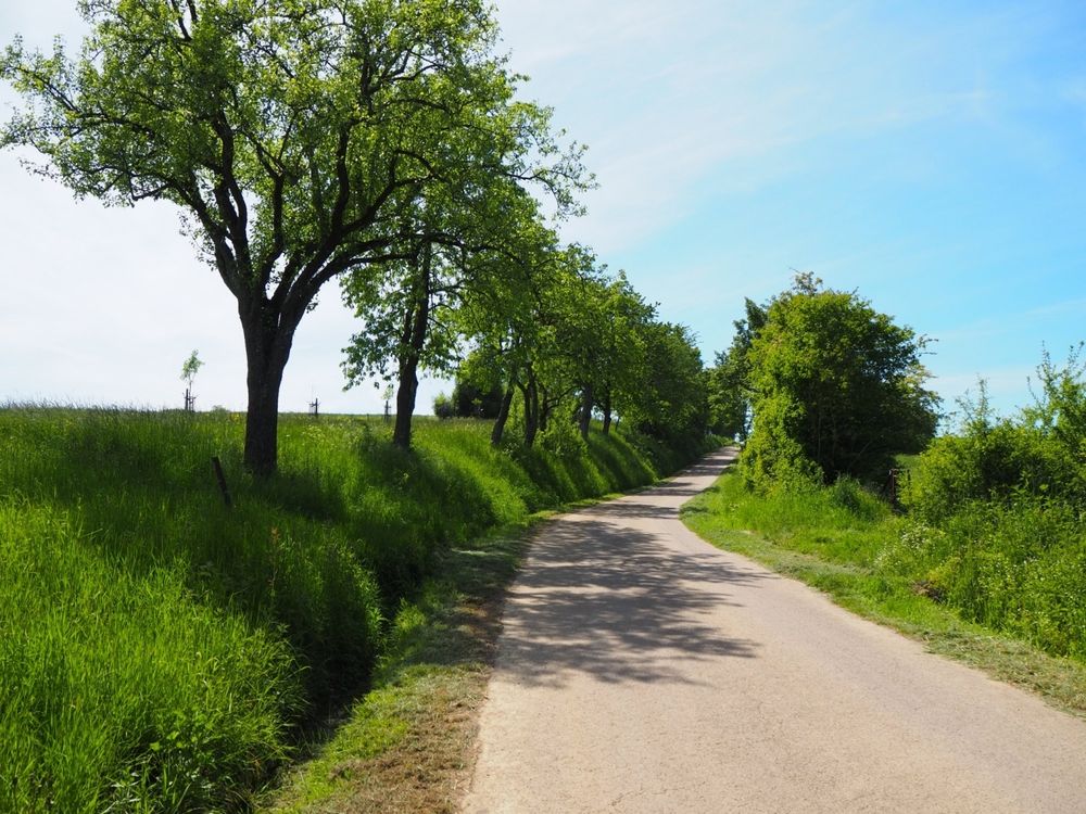
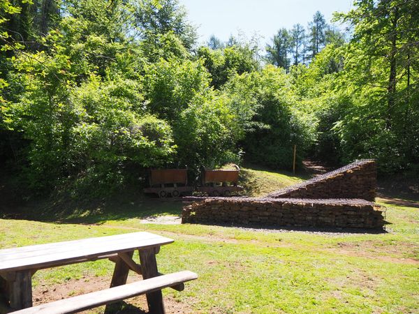
The circular hiking route begins in the idyllic village of Abweiler and mostly leads through shady forests. Along the way, you can enjoy several ponds, their inhabitants, and the tranquility of nature. Especially the Ditchesweiher invites you to take a relaxing break.
Signposting

Directions
Please follow the signs with the blue lozenge on a white background; the hiking route is marked in both directions.
Equipment
Please remember to pack enough provisions for the circular hiking route.
Journey
The bus stop "Abweiler" is right at the start of the route. From here, buses go to Bettembourg, which is excellently connected by train to Esch-sur-Alzette and Luxembourg City.
Parking:
Public parking spaces available on site.


 This website uses technology and content from the Outdooractive Platform.