Luxembourg City Éislek Müllerthal Mosel Minett Guttland Germany France

Geological Trail - "Giele Botter"

Starting point
Rue Titelberg, 4678 Differdange
Destination
Rue Titelberg, 4678 Differdange
Distance
2,43 km
Difficulty
medium
  • Condition
  • Technique
Highest point
404 Hm
Lowest point
353 Hm
Thematic paths Daniel O.

Description
Tour tip Scenic

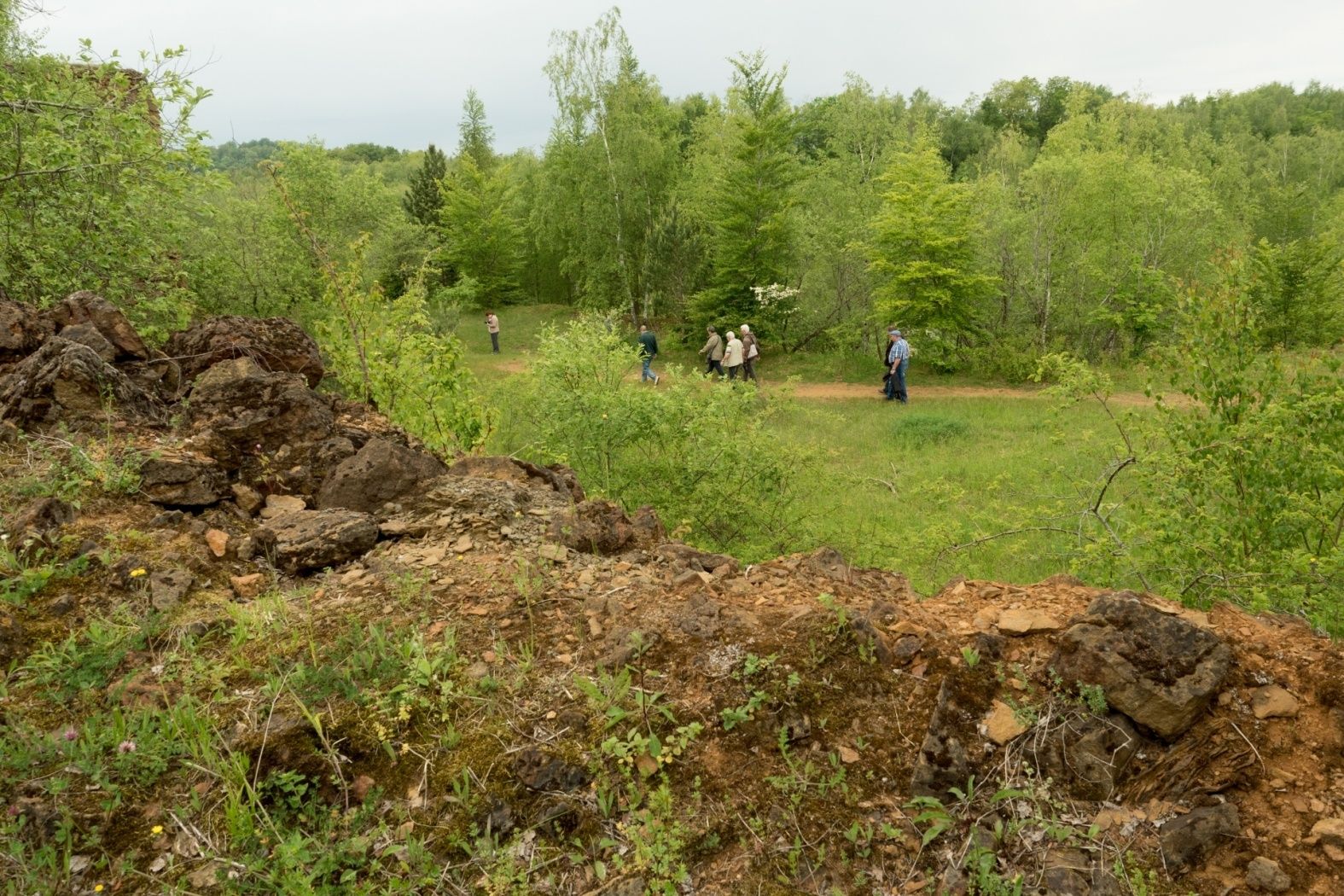
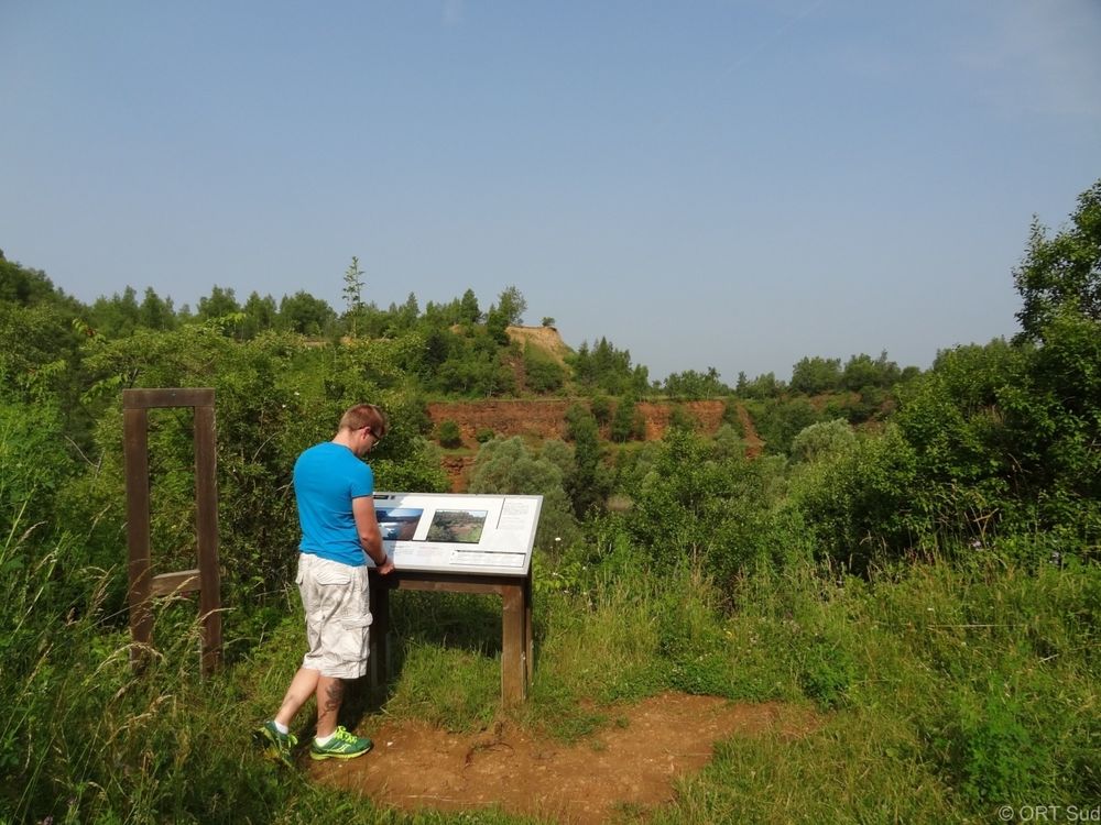
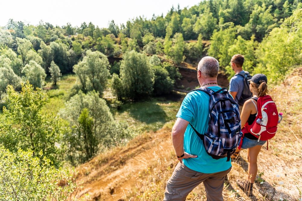
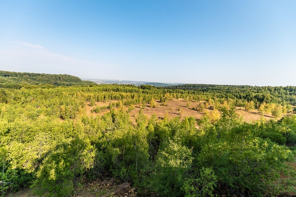
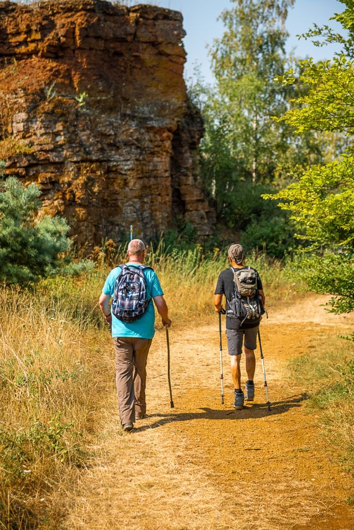
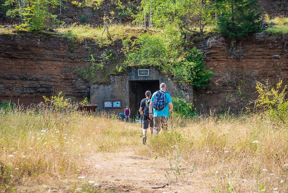
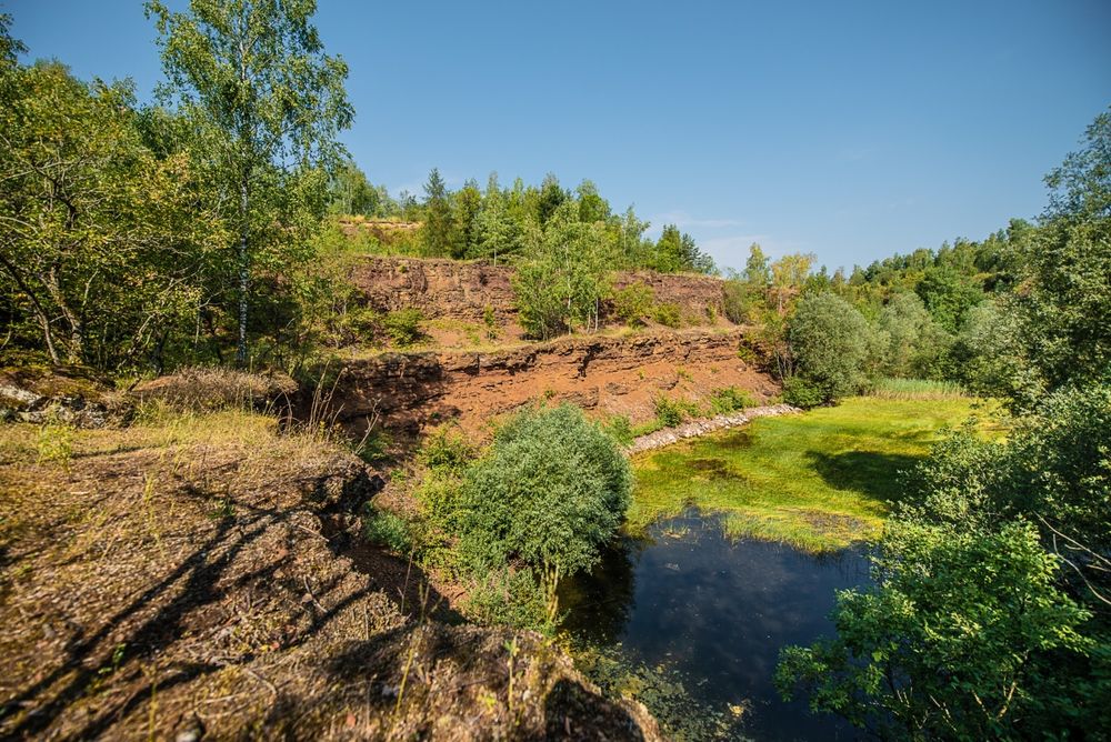
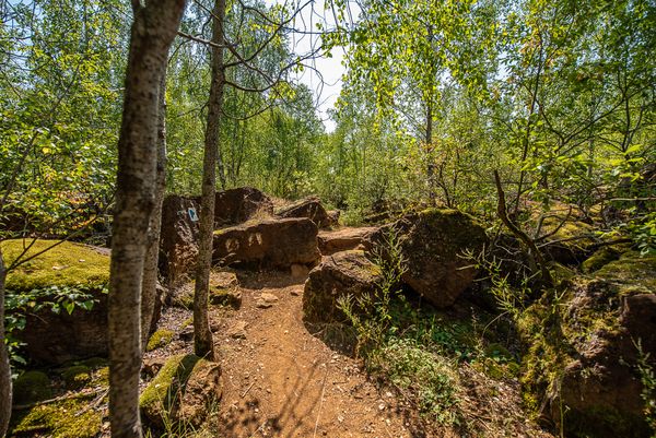
Discover the disused mining tunnels and the former open-cast mining area with the Geological Trail "Giele Botter"

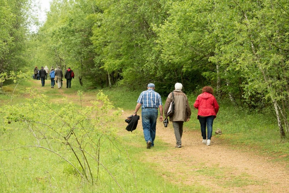
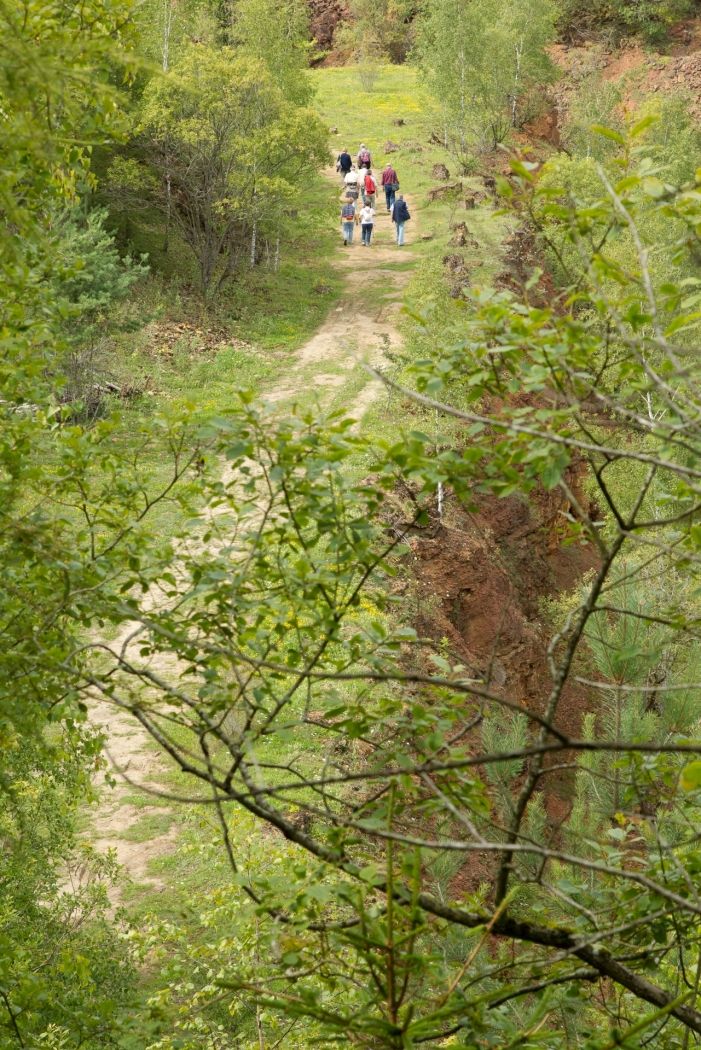
Geological walk "Giele Botter" (iron ore, open-cast mines, fossils). 2,5 km through the nature reserve "Prënzebierg".

Guided tours on request ( Giele Botter , Titelberg and Industry and Railwaypark in Fond-de-Gras). Prices: 50 for 2 hours, 15 for each supplementary hour.

for tour routing
geological-walk-petange gpx
Show all pictures

Suggestions nearby

Geological Trail - "Giele Botter"

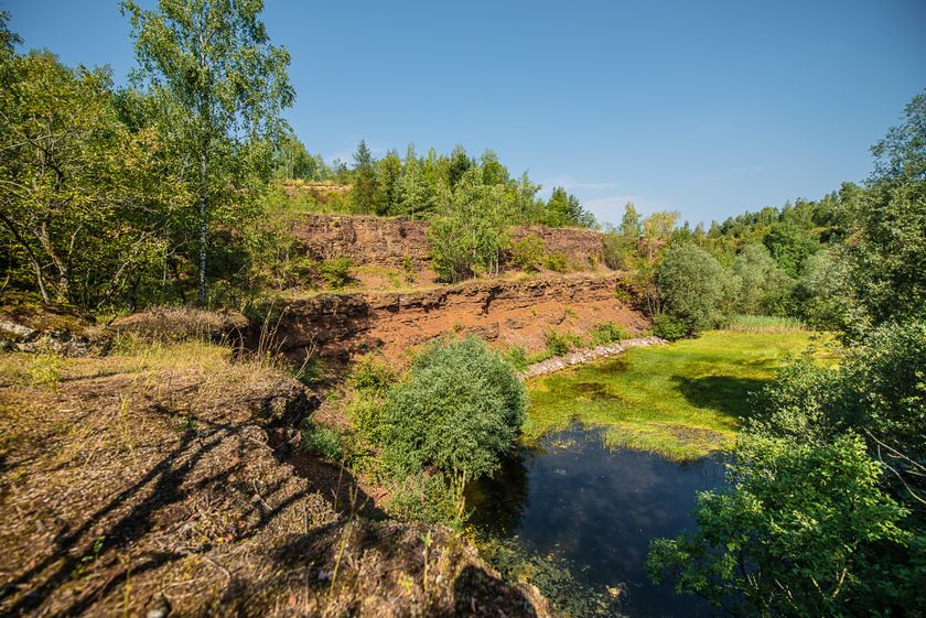
  • Réserve Naturelle Giele Botter - Prënzebierg_Copyright Pulsa Pictures_ORTSUD (16) i-net 72 dpi
    Nature reserve "Prënzebierg - Giele Botter"
    Nature has the final word
    Find out more
  • Minett-Park Fond-de-Gras
    Minett Park Fond-de-Gras
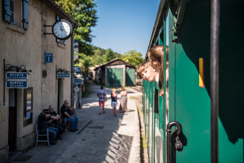
    The Minett Park Fond-de-Gras is an open-air museum that includes the Fond-de-Gras, the village of Lasauvage, the former open-cast mine of Giele Botter and the Celtic oppidum of Titelberg.
    Find out more
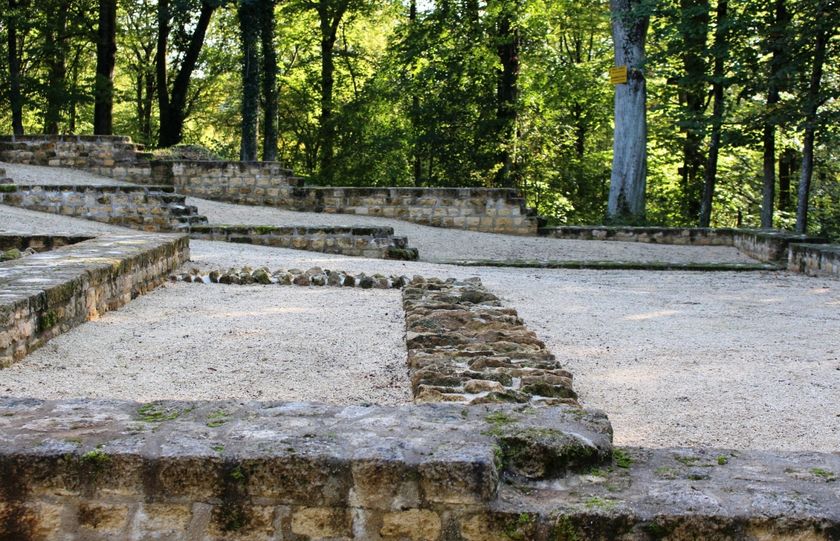
  • Titelberg - archaeological site
    An important site from Celtic times
    Find out more

Similar hiking tours

Distance trails
21 Station to station Bettembourg - Dudelange-Burange
Distance: 14,66 km
Duration: 3:45 h
Difficulty: medium
Find out more
Distance trails
22 Station to Station Dudelange - Burange - Rumelange
Distance: 10,22 km
Duration: 3:05 h
Difficulty: medium
Find out more
Distance trails
23 Station to station Rumelange - Kayl
Distance: 12,57 km
Duration: 3:25 h
Difficulty: medium
Find out more
Distance trails
25 Station to station Kayl - Schifflange - Esch-sur-Alzette
Distance: 21,71 km
Duration: 6:05 h
Difficulty: medium
Find out more
Distance trails
26 Station to station Esch-sur-Alzette - Belvaux-Soleuvre
Distance: 9,05 km
Duration: 2:30 h
Difficulty: medium
Find out more
Distance trails
27 Station to station Belvaux-Soleuvre-Oberkorn
Distance: 5,20 km
Duration: 1:25 h
Difficulty: medium
Find out more
Distance trails
28 Station to station Oberkorn - Niederkorn
Distance: 8,69 km
Duration: 2:25 h
Difficulty: medium
Find out more
Distance trails
29 Station to station Niederkorn - Rodange
Distance: 10,12 km
Duration: 2:55 h
Difficulty: medium
Find out more
Distance trails
30 Station to station Oberkorn - Fond de Gras - Rodange
Distance: 17,78 km
Duration: 5:00 h
Difficulty: medium
Find out more
outdooractive This website uses technology and content from the Outdooractive Platform.