Description
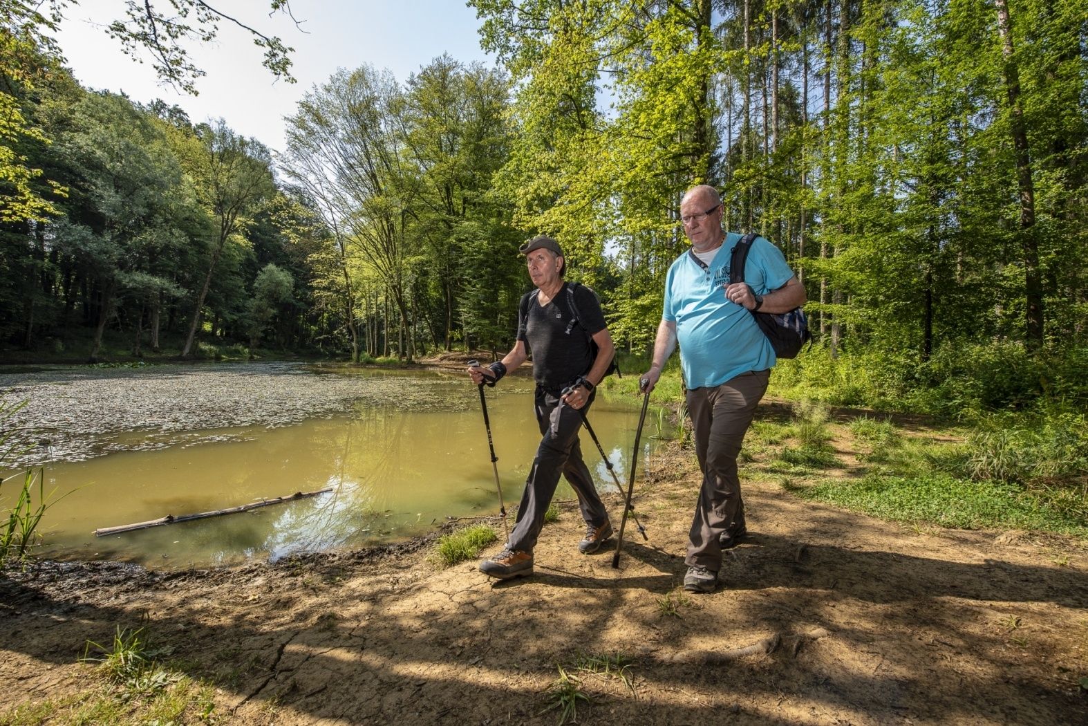
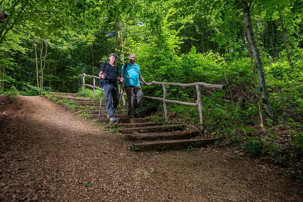
Understanding nature and its diversity
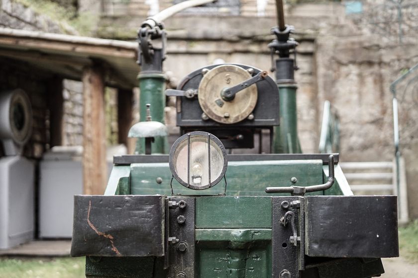
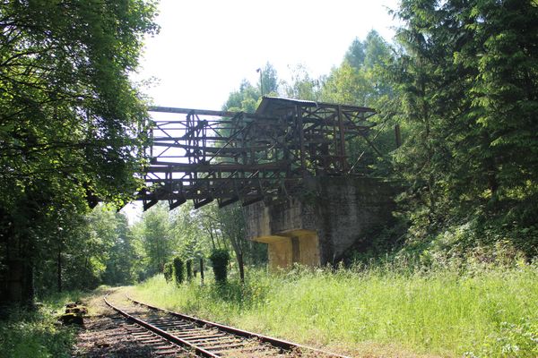
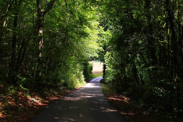
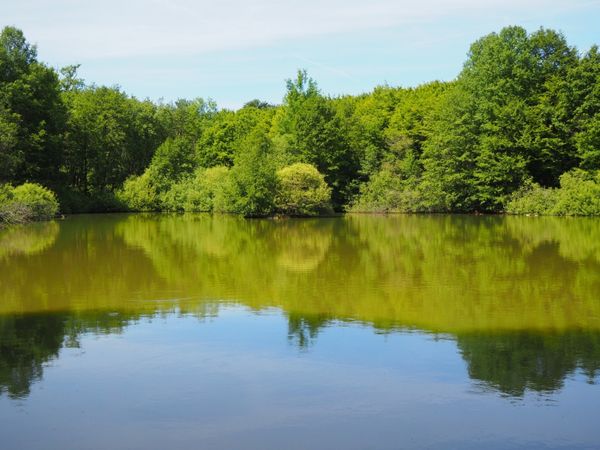
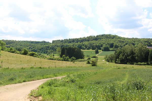
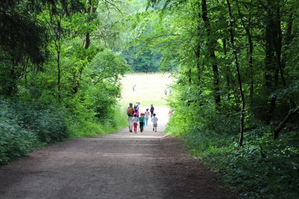
Numbered orientation points along the path mark the highlights and special features of the nature reserve. Despite its short length, the hiking trail offers plenty of opportunities to discover the numerous still visible traces of mining in a kind of time travel. Visitors also experience a journey into the heart of remarkable biodiversity: the path goes through different habitats and thus provides the opportunity to observe the local rare fauna, flora, and fungi diversity.
© ANF - Translation ORT Sud
Signposting
Directions
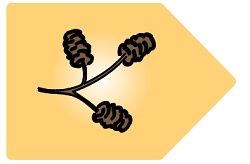
Please follow the trail markings with the alder fruits.
For your safety
Please stay on the designated paths. You may encounter mountain bikers along the way.
Equipment
Remember to bring enough drinking water and food for the hike.
Journey
The bus stop "Esch/Alzette, Place Pierre Ponath" offers direct connections to Esch-sur-Alzette train station.
Getting there:
Follow the signposts "Centre Nature et Forêt Ellergronn" and follow Rue Jean-Pierre Bausch all the way to the end.
Parking:
Parking spaces available directly on site.


 This website uses technology and content from the Outdooractive Platform.