© ORT Sud
Minett Germany France

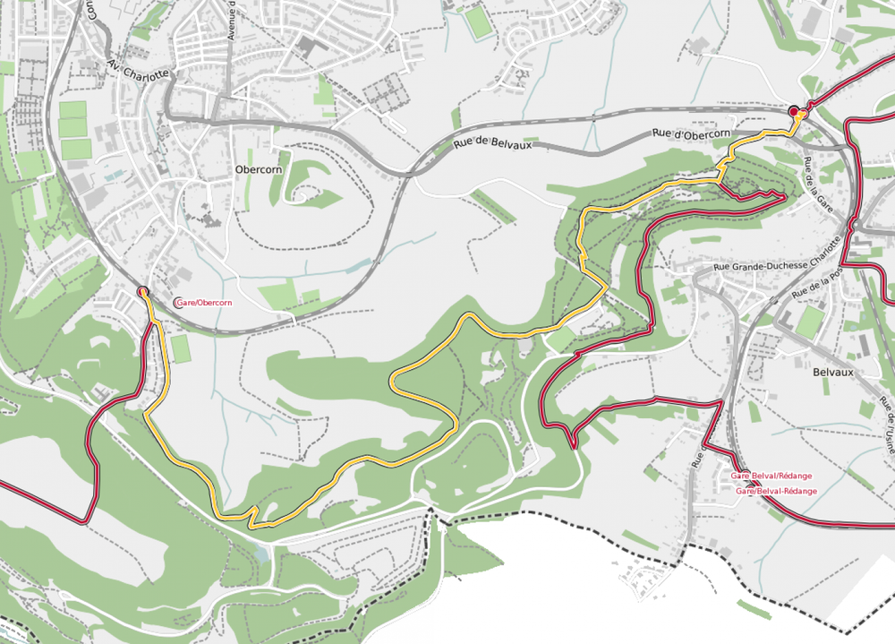
27 Station to station Belvaux-Soleuvre-Oberkorn

Starting point
Belvaux-Soleuvre train station, 93 Rue de la Gare, 4475 Sanem
Destination
Oberkorn train station, 83 Rue de la Gare, 4571 Differdange
Distance
5,20 km
Duration
1:25 h
Difficulty
medium
  • Condition
Highest point
402 Hm
Lowest point
324 Hm
Aggregated Ascent
247 Hm
Aggregated Descent
247 Hm
Distance trails Visit Luxembourg

Description

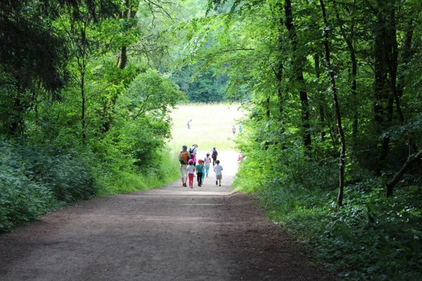
Hike between two train stations in the Minett region, from Belvaux-Soleuvre to Oberkorn

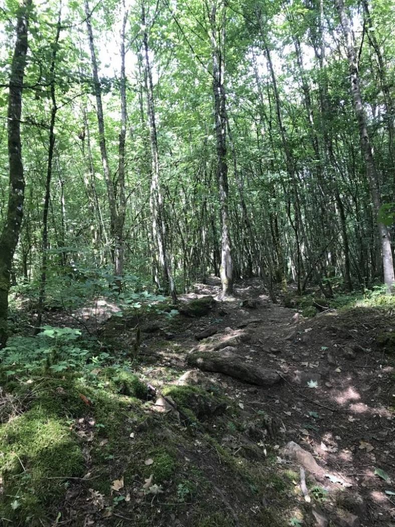
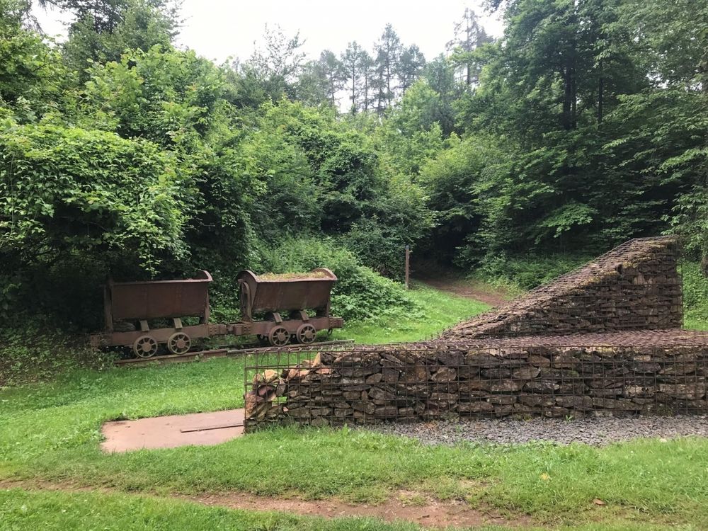
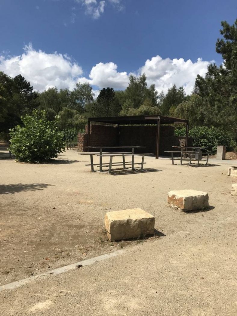
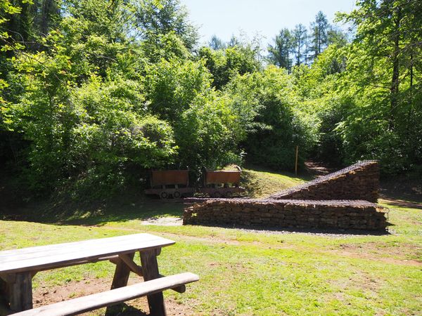
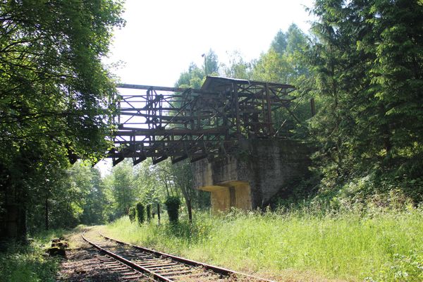
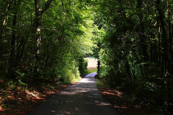
The tour is part of the Sentier du Sud, a national rambling route. It passes vast wooded areas and offers an interesting view of the old open-cast mining site of Ronnebierg towards the end.

This walk can easily be extended via CFL trails 26, Esch-sur-Alzette - Belvaux-Soleuvre (9km) or 28, Oberkorn - Niederkorn (8,9km).

© Editions Guy Binsfeld

Suggestions nearby

27 Station to station Belvaux-Soleuvre-Oberkorn

  • © Claude Piscitelli / ONT
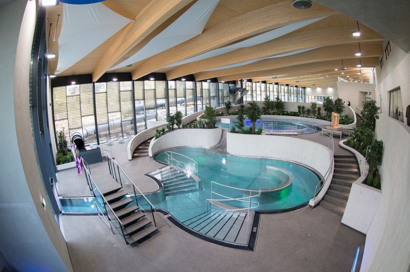
    AquaSud
    Dive into happiness!
    Find out more
  • © Hotel Mia Zia
    Hotel Mia Zia
    WifiParkingRestaurant
  • © A Gadder
    House of culture and history A Gadder
    The museum area comprises a total of nine rooms, in which exhibits provide insights into living and working conditions at the end of the 19th century, industrial past of the region and the history of the commune during the Second World War.
    Find out more

Similar hiking tours

© ORT Sud
Circular routes
Auto-pédestre trail Schifflange
Distance: 7,66 km
Duration: 2:15 h
Difficulty: medium
Find out more
© ORT Sud
Circular routes
Auto-pédestre trail Lamadelaine
Distance: 8,36 km
Duration: 2:25 h
Difficulty: medium
Find out more
© CFL, Visit Luxembourg
Distance trails
32 Station to station Bascharage-Sanem - Dippach-Reckange
Distance: 10,14 km
Duration: 2:40 h
Difficulty: medium
Find out more
© Pulsa Pictures, ORT SUD
Circular routes
Trail "Um Réimerwee"
Distance: 9,29 km
Duration: 2:40 h
Difficulty: medium
Find out more
© Pulsa Pictures, Pulsa Pictures ORT Sud
Circular routes
Auto-pédestre trail Esch-sur-Alzette
Distance: 7,68 km
Duration: 2:10 h
Difficulty: medium
Find out more
© Visit Luxembourg
Distance trails
National hiking trail "South I"
Distance: 32,72 km
Duration: 9:25 h
Difficulty: medium
Find out more
© ORT Sud
Circular routes
Auto-pédestre trail Leudelange
Distance: 5,04 km
Duration: 1:20 h
Difficulty: medium
Find out more
© Pulsa Pictures, ORT SUD
Minett Trail
Minett Trail: Esch-sur-Alzette Gare - Tétange Gare
Distance: 11,95 km
Duration: 3:25 h
Difficulty: medium
Find out more
© Pulsa Pictures, Pulsa Pictures_ORT Sud
Minett Trail
Minett Trail: Tétange Gare - Rumelange Gare
Distance: 7,79 km
Duration: 2:15 h
Difficulty: medium
Find out more