Description
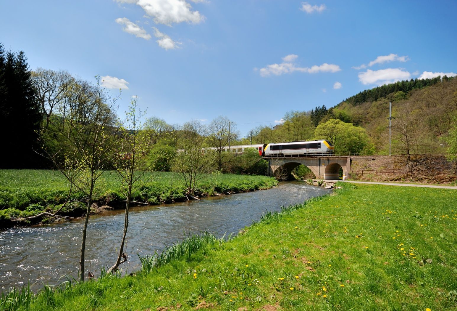
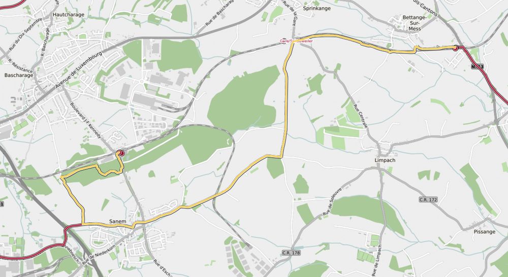
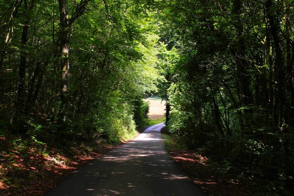
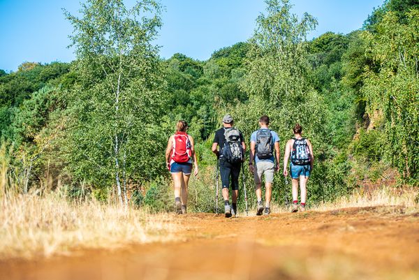
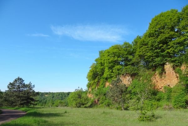
The first part (approx. 1.5 km) of this route leads through a small forest to the national cycle path PC6 Piste cyclable des Trois Cantons, which joins the PC9 Piste cyclable du Faubourg Minier in Sanem. From here, follow this cycle path for a bit until the hiking path turns towards Schouweiler station. From here, the route follows the railway tracks to their end at Dippach-Gare station. Along the way, the hiker is presented with a rural area with fields, meadows, and, in the distance, the large apple plantation of Pretemerhaff.
Signposting
Directions
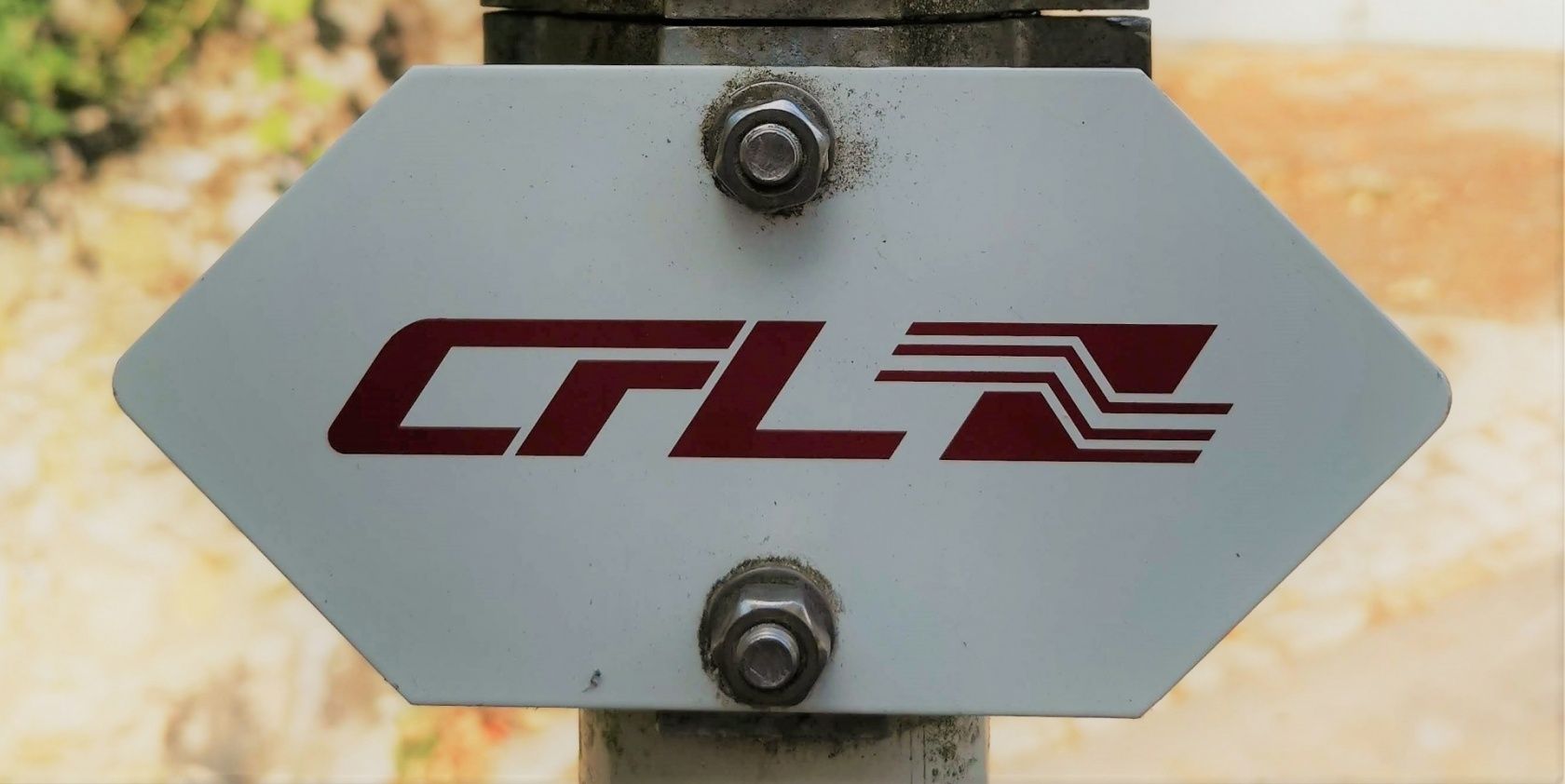
Please follow the signs marked "CFL"
For your safety
When hiking along the country road between Limpach and Pissange, be sure to watch out for road traffic.
Equipment
Please remember to bring enough drinking water and food
Journey
Start and finish points are train stations
Parking:
Parking available on site


 This website uses technology and content from the Outdooractive Platform.