©Gemeng Suessem, Gemeng Suessem
Minett Germany France

Local hiking trail "De Wee vum Steen"

Hunting Season 2025/26 — Check for hunts

Autumn is here, and that means hunting season has begun! From mid-October to January/February, hunters are active across the country. Stay safe by checking hunt dates in your area on our Map. 

Click on Map in the Header > Services > More > Hunting.

Starting point

intersection of the rue de la Fontaine and the Seelbunnstrooss

Destination

intersection of the rue de la Fontaine and the Seelbunnstrooss

Distance
4,57 km
Duration
1:15 h
Difficulty
medium
  • Condition
Highest point
402 Hm
Lowest point
332 Hm
Aggregated Ascent
72 Hm
Aggregated Descent
72 Hm
Circular routes Visit Luxembourg

Description

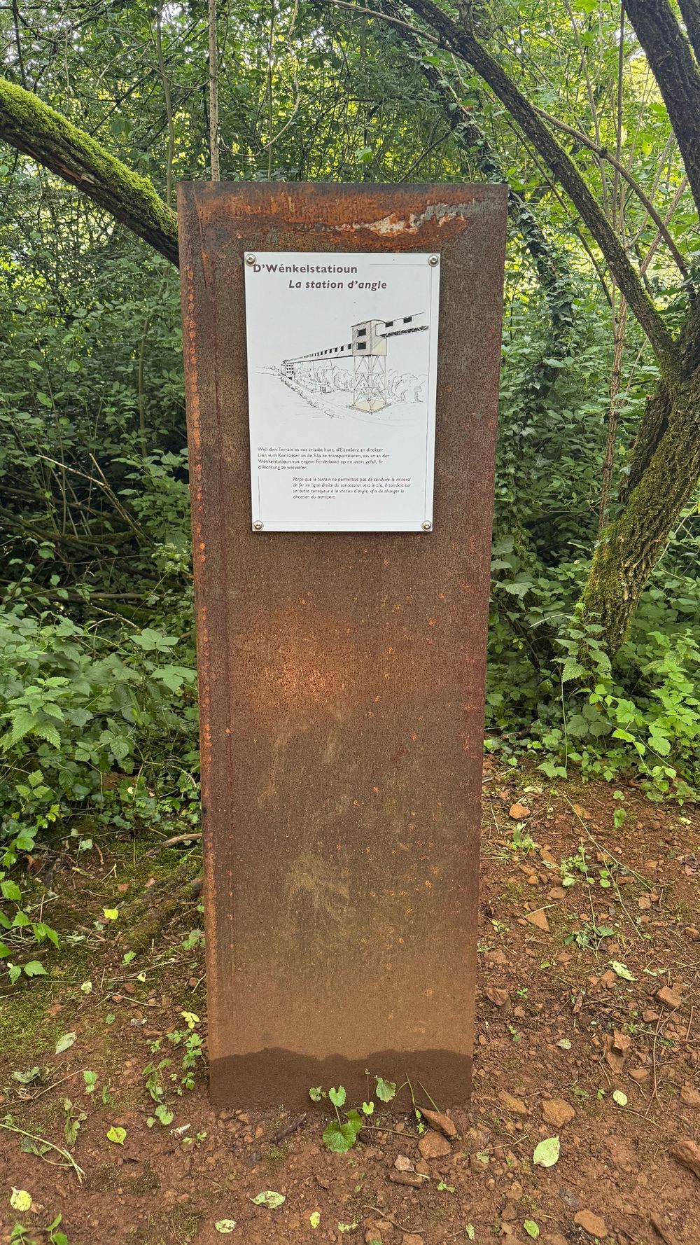
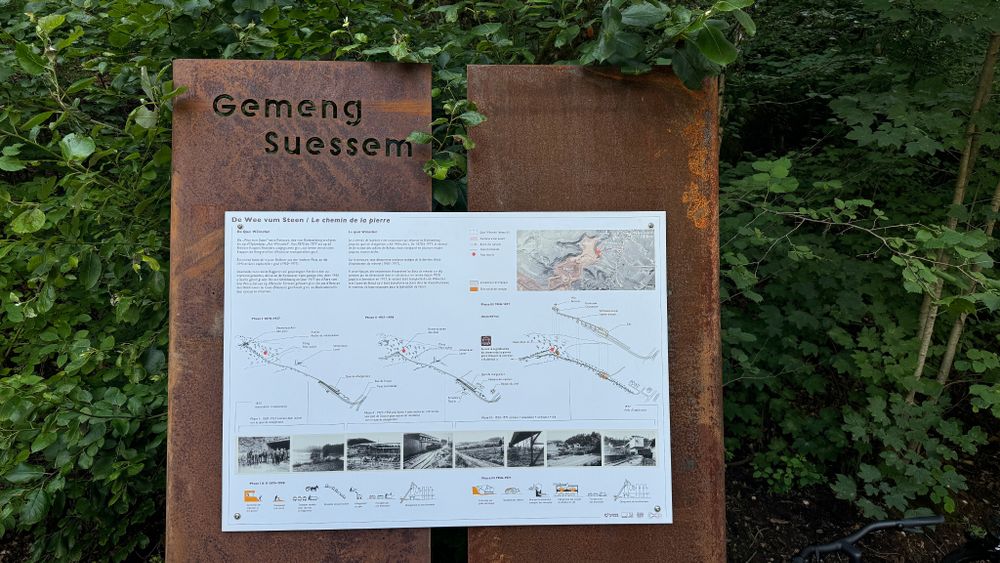
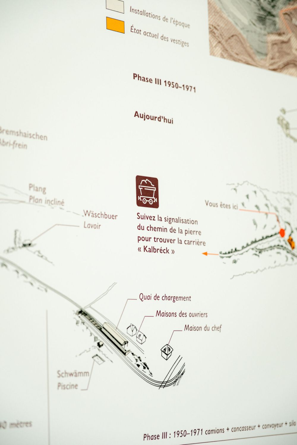
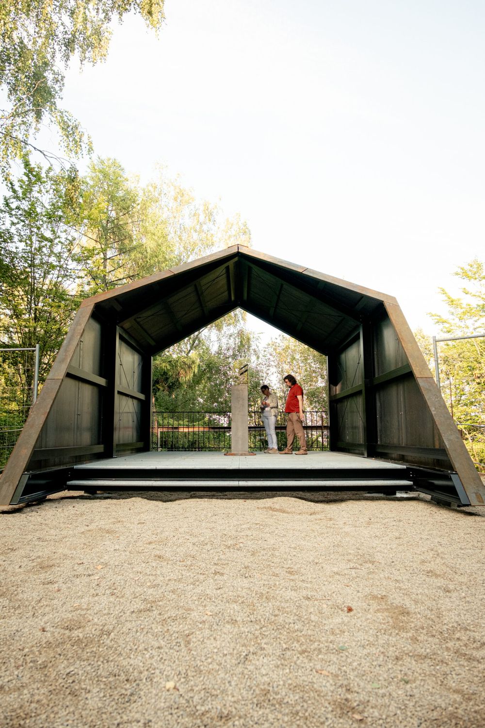
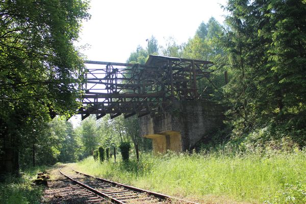
The "Wee vum Steen" (Path of the Stone) takes you around the Natura 2000 area around the Gaalgebierg in Belvaux and explains on several information boards along the way how the Minett stone got from the open pit mines to the blast furnace.

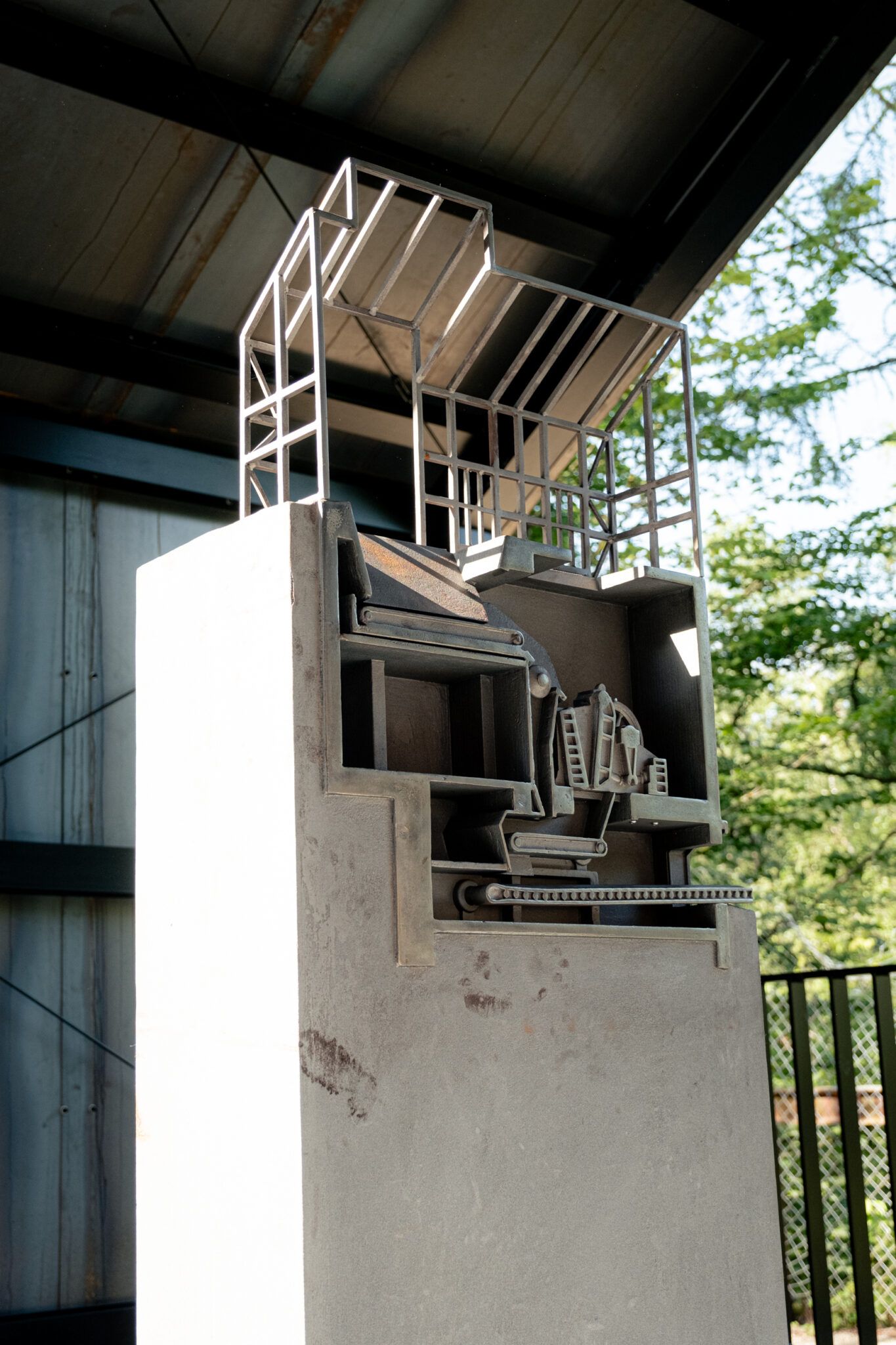
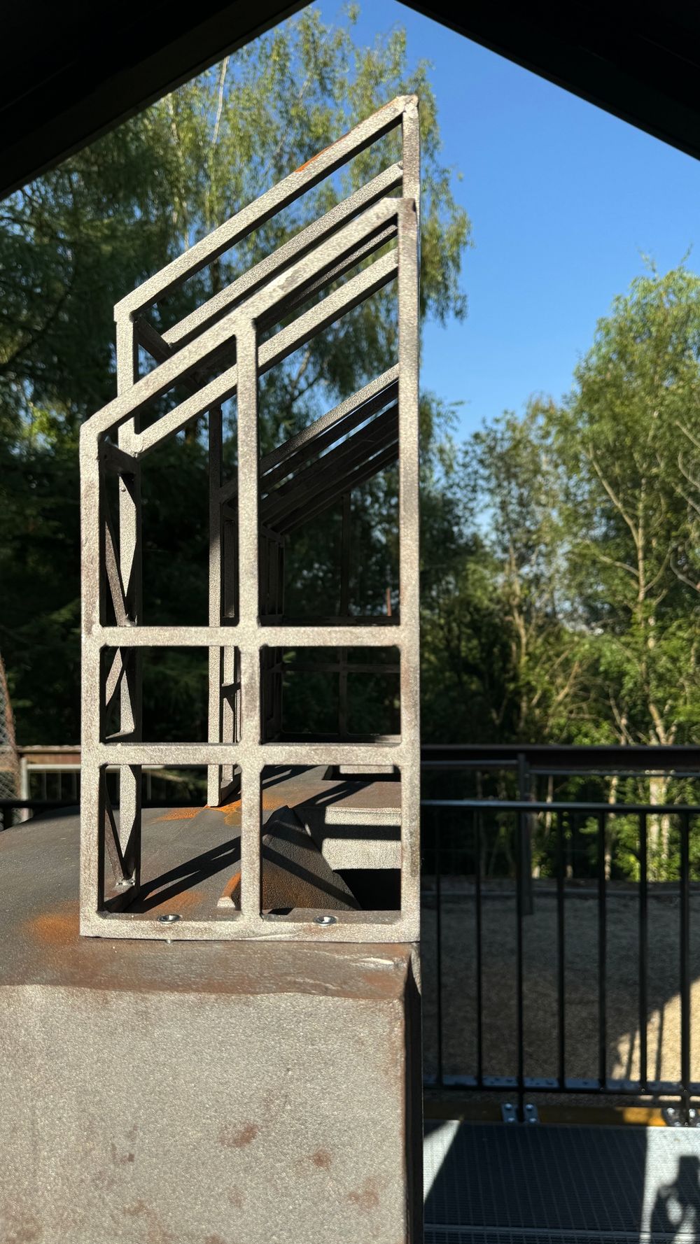
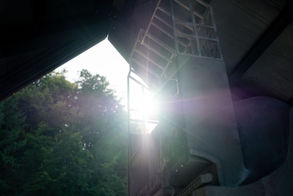
Together with artists from the DKollektiv, the "Wee vum Steen" shows in various ways how Minett stone was mined and finally transported to the blast furnace via conveyor belts and train wagons. Numerous information boards provide more detailed information about the mining and transportation processes. At the former crusher, a specially made sculpture shows the inner workings of the machine, showing how the Minett stones were crushed for further transportation.

Suggestions nearby

Local hiking trail "De Wee vum Steen"

  • ©A Gadder
    House of culture and history A Gadder
    The museum area comprises a total of nine rooms, in which exhibits provide insights into living and working conditions at the end of the 19th century, industrial past of the region and the history of the commune during the Second World War.
    Find out more

Similar hiking tours

©Pulsa Pictures, ORT SUD
Thematic paths
Nature walk "Natura 2000" - Ellergronn
Distance: 11,89 km
Duration: 3:10 h
Difficulty: medium
Find out more
©ORT Sud
Circular routes
Auto-Pédestre trail Rumelange - Walert
Distance: 8,89 km
Duration: 2:25 h
Difficulty: medium
Find out more
©Pulsa Pictures, ORT SUD
Minett Trail
Minett Trail: Differdange Gare - Belval-Rédange Gare
Distance: 8,15 km
Duration: 2:15 h
Difficulty: medium
Find out more
©Pulsa Pictures, ORT Sud
Circular routes
Auto-Pédestre trail Rumelange - Gare
Distance: 6,84 km
Duration: 2:05 h
Difficulty: medium
Find out more
©Pulsa Pictures, ORT SUD
Circular routes
Didactic path „Prënzebierg - Giele Botter"
Distance: 7,64 km
Duration: 2:10 h
Difficulty: medium
Find out more
©Claude Piscitelli, Claude Piscitelli
Minett Trail
Minett Trail: Belval-Rédange Gare - Esch-sur-Alzette Gare
Distance: 6,35 km
Duration: 1:35 h
Difficulty: medium
Find out more
©Pulsa Pictures, Pulsa Pictures_ORT Sud
Minett Trail
Minett Trail: Tétange Gare - Rumelange Gare
Distance: 7,79 km
Duration: 2:10 h
Difficulty: medium
Find out more
©ORT Sud
Distance trails
23 CFL hiking trails from station to station : Rumelange - Kayl
Distance: 12,57 km
Duration: 3:25 h
Difficulty: medium
Find out more
©ORT Sud
Distance trails
25 CFL hiking trails from station to station : Kayl - Schifflange - Esch-sur-Alzette
Distance: 21,71 km
Duration: 6:05 h
Difficulty: medium
Find out more
outdooractive This website uses technology and content from the Outdooractive Platform.