©ORT Sud
Guttland Germany France

Trois Cantons Cycle Path (PC 6)

Starting point

Rue de la Piscine, 4907 Pétange

Destination

Public parking in Remerschen, 6 Steegaass, 5441 Schengen

Distance
55,94 km
Duration
4:00 h
Difficulty
medium
  • Condition
  • Technique
Highest point
343 Hm
Lowest point
143 Hm
Aggregated Ascent
272 Hm
Aggregated Descent
419 Hm
Visit Luxembourg

Description

Scenic Refreshment stops available

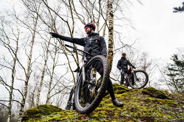
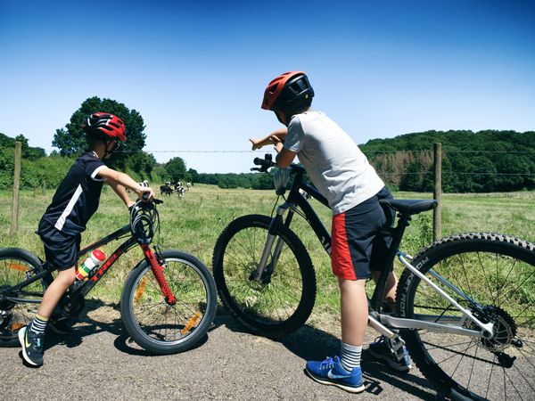
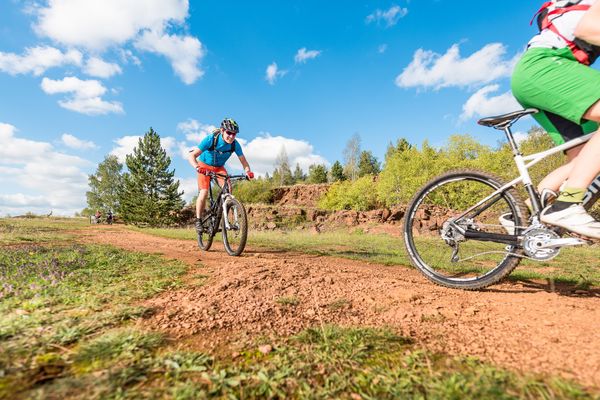
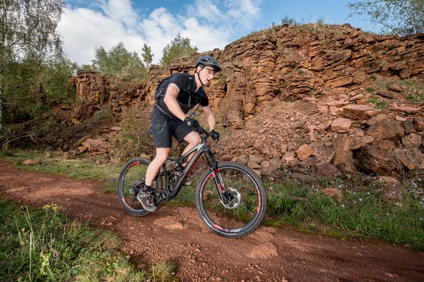
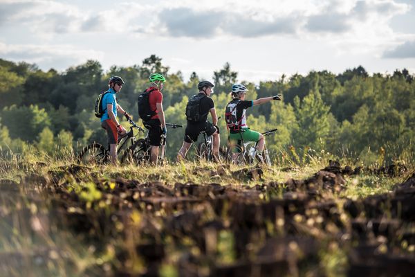
Cross the entire south of Luxembourg and the nearby border area

The "Trois Cantons" cycle path connects Pétange (PC8 and PC12) via Sanem, Schifflange, Bettembourg, Altwies, and Mondorf with Remerschen (PC3). The following cycle paths connect directly to the PC6: PC9, PC8, PC7, and PC11.

Suggestions nearby

Trois Cantons Cycle Path (PC 6)

  • Nature reserve "Beetebuerger Bësch"
    Nature reserve "Beetebuerger Bësch"
    Find out more
  • ©Brasserie Nationale
    Brasserie Nationale (Bofferding & Battin)
    Discover the world of beers from Luxemburg at the Brasserie Nationale (Bofferding & Battin)
    Find out more

  • No image available
    Parc Backes
    Parc Backes
    Find out more
  • Nature reserve "Dumontshaff"
    Nature reserve "Dumontshaff"
    Find out more
  • ©Pancake! Photographie
    free
    with theLuxembourgPass
    Rural and artisanal museum
    The good old days…
    Find out more

Similar biking tours

©ORT Sud
Cycle path "de la Terre Rouge" (PC8)
Distance: 28,96 km
Duration: 2:15 h
Difficulty: medium
Find out more
©Pulsa Pictures, ORT SUD
MTB
RedRock MTB Trail - "Belvaux-Differdange"
Distance: 27,69 km
Duration: 3:25 h
Difficulty: medium
Find out more
©Emile Hengen, ORT SUD
Cycling Tours
Minett Cycle preview: section Sanem-Bettembourg
Distance: 19,89 km
Duration: 1:20 h
Difficulty: medium
Find out more
©Pulsa Pictures, ORT Sud
MTB
RedRock MTB Trail - "Haard Black"
Distance: 30,99 km
Duration: 3:55 h
Difficulty: medium
Find out more
©Emile Hengen , ORT SUD
Cycling Tours
Minett Cycle preview: section Sanem-Kockelscheuer
Distance: 19,36 km
Duration: 1:25 h
Difficulty: medium
Find out more
©Pulsa Pictures, ORT Sud
MTB
RedRock MTB Trail - "Lalléngerbierg - Gaalgebierg"
Distance: 33,99 km
Duration: 3:20 h
Difficulty: medium
Find out more
©Pulsa Pictures, ORT SUD
MTB
RedRock MTB Trail - "Ellergronn"
Distance: 28,80 km
Duration: 3:30 h
Difficulty: medium
Find out more
©Pulsa Pictures, ORT Sud
MTB
RedRock MTB Trail - "Haard Red"
Distance: 24,67 km
Duration: 2:55 h
Difficulty: medium
Find out more
outdooractive This website uses technology and content from the Outdooractive Platform.