Description
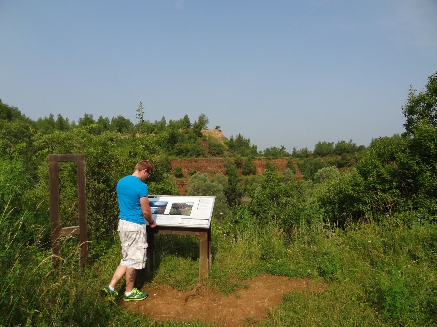
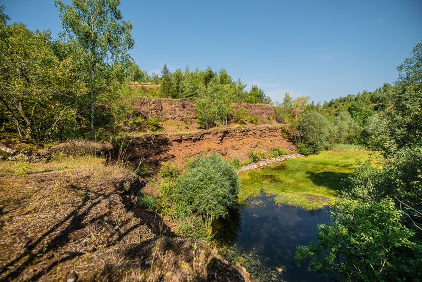
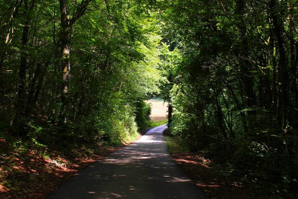
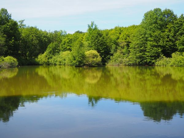
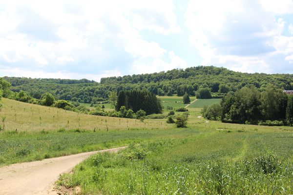
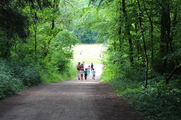
The path first climbs up to the heights west of Differdange. The route runs over part of the national hiking trail Sentier des Mineurs, which meanders through former ore mining areas, in this case the Giele Botter with its special biotopes. The latter itself belongs to the Prënzebierg nature reserve, which this hike also leads to. After passing through residential areas belonging to Lamadelaine, the route ends at Rodange station.
© Editions Guy Binsfeld
Signposting
Directions
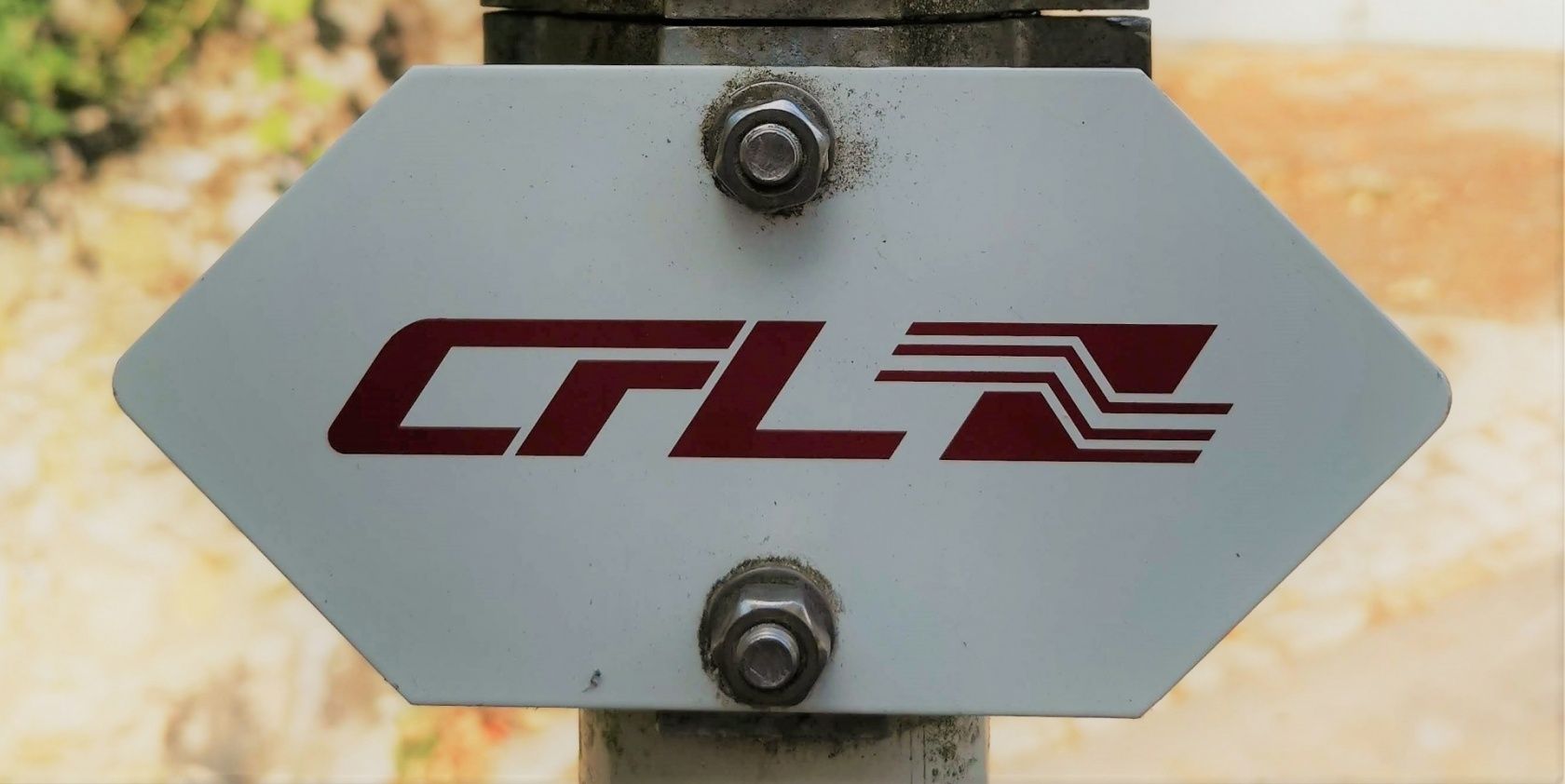
Please follow the signs labeled "CFL"
For your safety
Please pay attention to the safety instructions in the nature reserve and stay on the designated paths.
Equipment
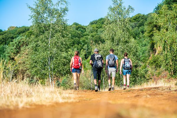
Please remember to wear sturdy footwear and appropriate clothing in case of bad weather.
Please also remember to pack enough provisions for the circular hike.
Journey
Start and finish of the route are at a train station
Parking:
Public parking directly on site


 This website uses technology and content from the Outdooractive Platform.