Description
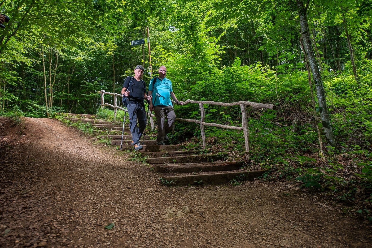
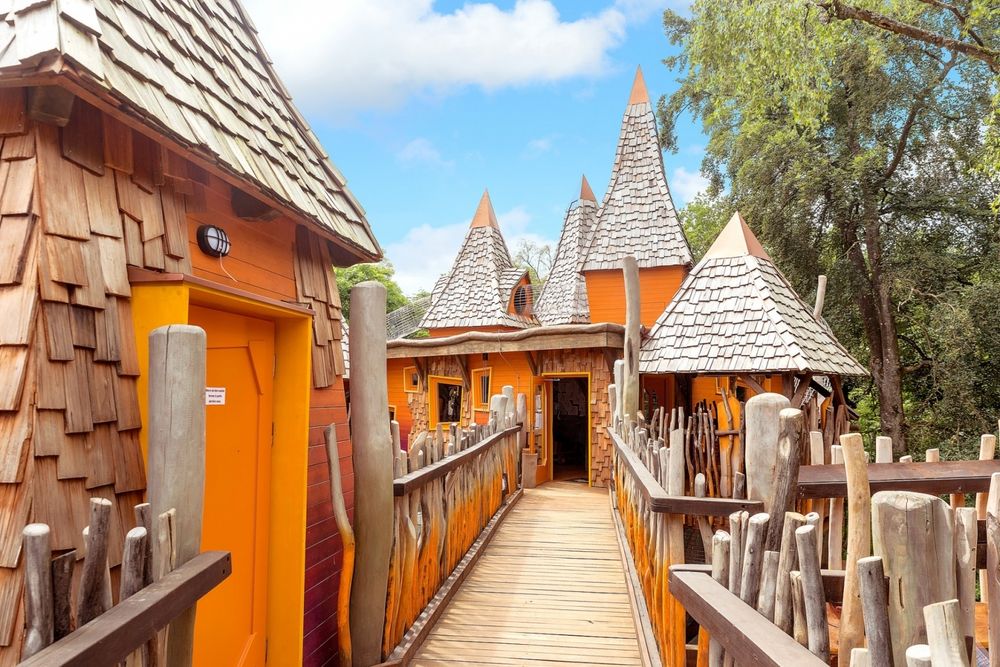
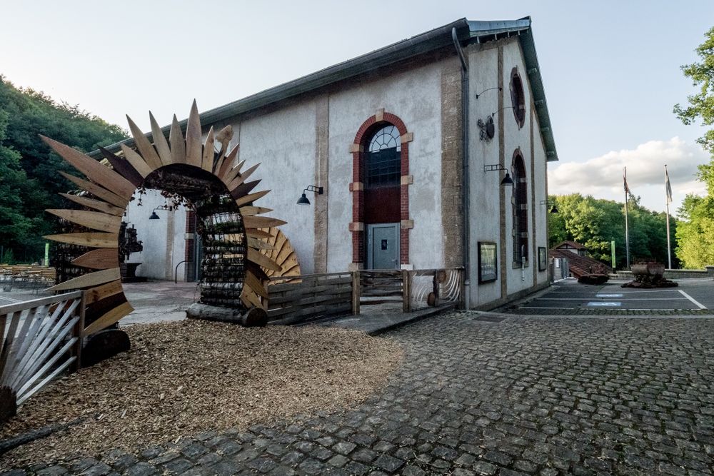
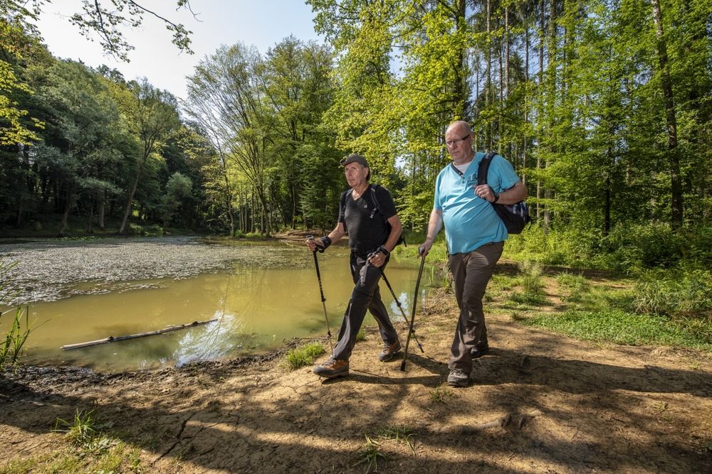
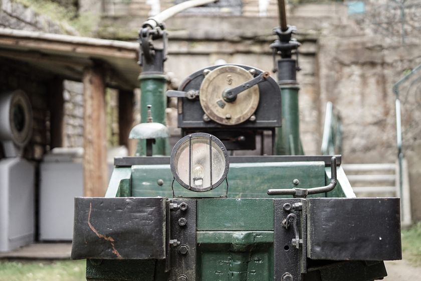
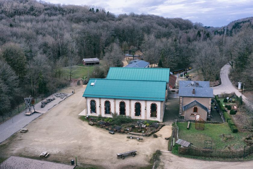
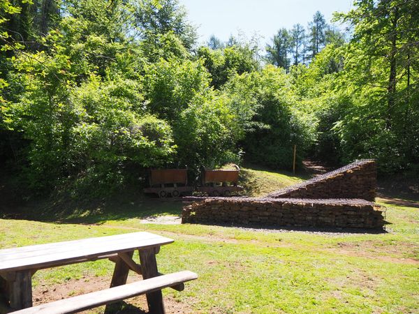
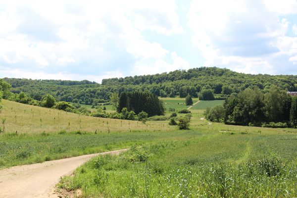
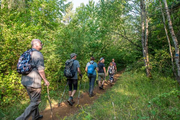
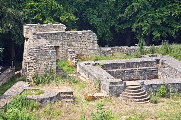
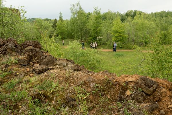
You start your hike from the Ellergronn in direction of the Gaalgebierg, up to the animal park Escher Déierepark. The park is freely accessible and free of charge. After the ascent to the "Gaalgebierg", descend through the forest, pass a peaceful pond and walk back to the Nature Conservation Center Ellergronn and the Cockerill Mine Museum.
Signposting
Directions
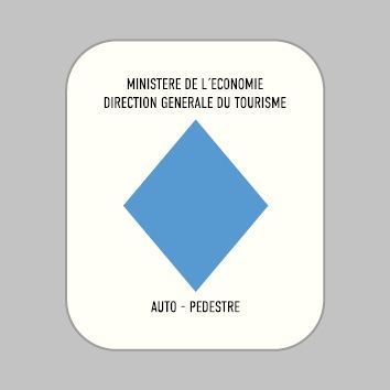
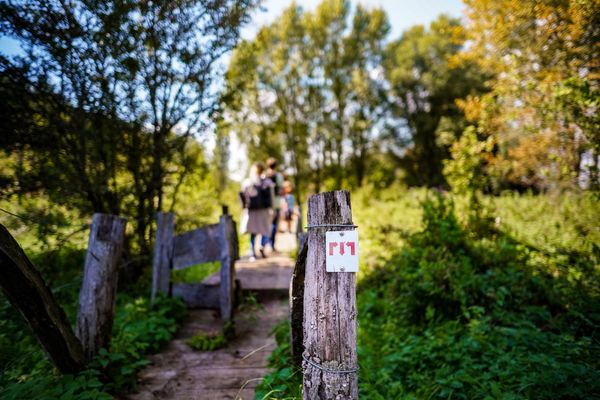
Please follow the signposts with the blue diamond on white background, the trail is signposted in both directions.
For your safety
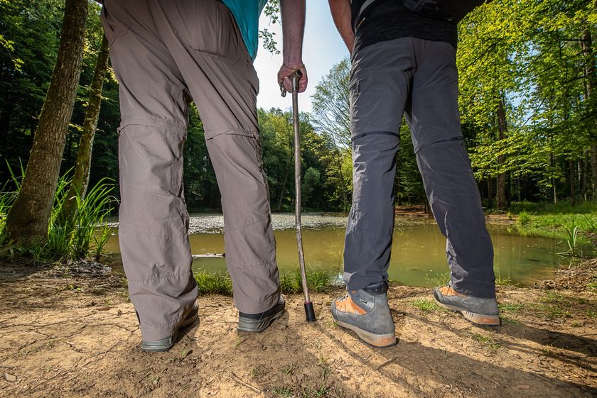
Please wear sturdy shoes and clothing suitable for the weather.
Equipment
Please bring enough food and drinking water for the trip
Journey
The hiking trail starts at the "Place Pierre Ponath". A bus station is on the starting point.
Getting there:
Take the A4 towards Esch-sur-Alzette, take the Esch-sur-Alzette exit and continue towards Esch Centre/Gare. Then follow the signs "Centre Nature et Forêt Ellergronn".
Parking:
Public parking spaces available.


 This website uses technology and content from the Outdooractive Platform.