Luxembourg City Éislek Müllerthal Mosel Minett Guttland Germany France

33 Station to station Dippach-Reckange - Leudelange

Starting point
Dippach train station, 34 Rue de la Gare, 4975 Dippach
Destination
Leudelange train station, 170 Rue de la Gare, 1248 Leudelange
Distance
8,52 km
Duration
2:15 h
Difficulty
easy
  • Condition
  • Technique
Highest point
366 Hm
Lowest point
299 Hm
Distance trails D. O.

Description

Hike from train station to station between Dippach-Reckange and Leudelange

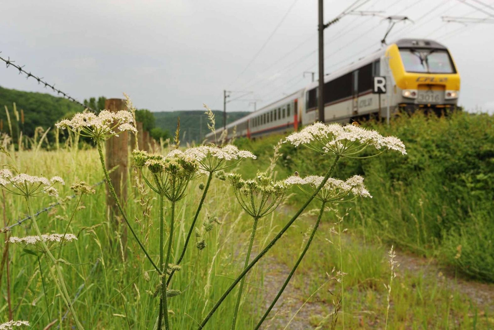
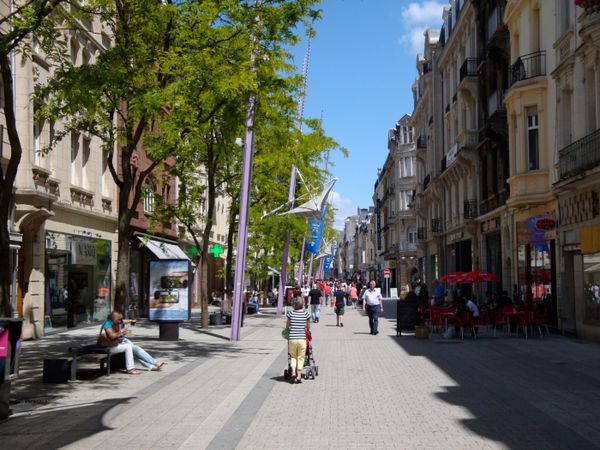
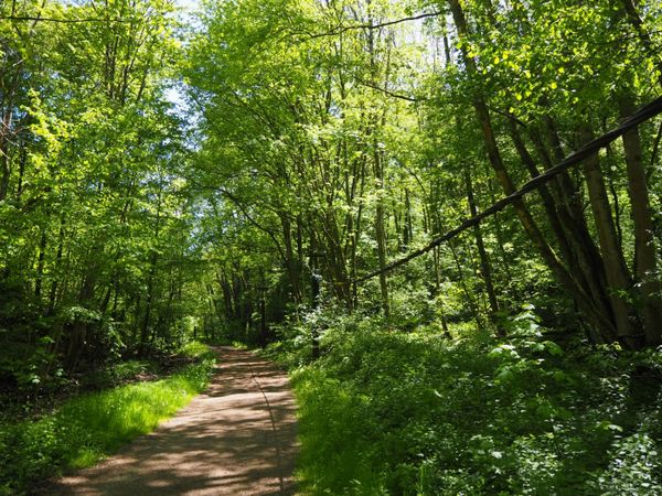
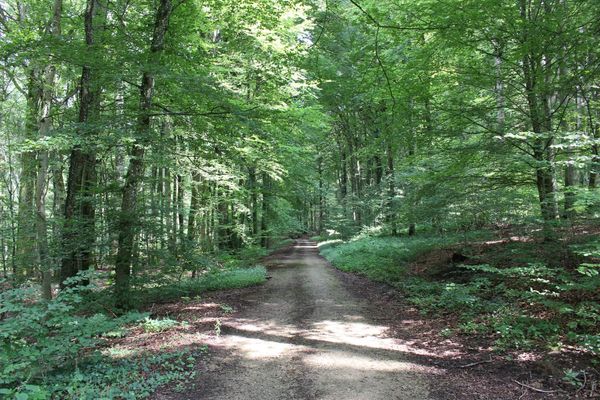
This is a pleasant stroll passing by Reckange-sur-Mess and the joining with the national cycling route PC 9 Piste cyclable du Faubourg Minier. Further along the trail, hikers cross a residential area of Roedgen with many villas before walking over forest paths running alongside the railroad track Pétange - Luxembourg. The arrival is right on the Leudelange Gare platform.

This tour can also be done by mountain bike.


for tour routing
33-station-to-station-dippach-reckange-leudelange gpx

Similar hiking tours

Thematic paths
Didactic Path "Felten's Pol säi Léierpad"
Distance: 1,80 km
Duration: 0:25 h
Difficulty: easy
Find out more
Circular routes
Auto-Pédestre trail Clemency I
Distance: 11,36 km
Duration: 3:05 h
Difficulty: easy
Find out more
Circular routes
Auto-pédestre trail Dudelange II
Distance: 8,28 km
Duration: 2:15 h
Difficulty: easy
Find out more
Circular routes
Trail "De Kaweechelcherspad"
Distance: 1,36 km
Duration: 0:25 h
Difficulty: easy
Find out more
Circular routes
Auto-pédestre trail Roedgen
Distance: 9,68 km
Duration: 2:35 h
Difficulty: easy
Find out more
Thematic paths
Didactic Path "Den Apel"
Distance: 0,42 km
Duration: 0:05 h
Difficulty: easy
Find out more
Thematic paths
Planetary Trail - Didactic Path "De Saturn"
Distance: 4,10 km
Duration: 1:05 h
Difficulty: easy
Find out more
Circular routes
Trail "Beetebuerger Bësch"
Distance: 3,79 km
Duration: 1:00 h
Difficulty: easy
Find out more
Circular routes
Trail "Sentier des Poètes"
Distance: 6,93 km
Duration: 2:00 h
Difficulty: easy
Find out more
outdooractive This website uses technology and content from the Outdooractive Platform.